World Snow Wrap, February 13 – Consistent Refills in Japan and North America, Sunny Days Again in Europe
Mountainwatch | Reggae Elliss
After a big end to January the storms have eased in most regions although consistent refills are keeping things humming in Japan and North America. In the European Alps it has been a different story, with snow in the east and dry in the west.
Japan
The last 10 days of January saw some big snowfalls and deep powder days, particularly in Central Honshu where a couple of storms dropped over 60cms in 24hours. The first week of February was settled until a decent fall last Wednesday night which dropped 20cms ahead of spring-like weather on the weekend. Winter is set to return to Honshu tonight with 45-70cms forecast for Honshu resorts over the next three days, Myoko in line for 65cms while Hakuba should see 45cms.
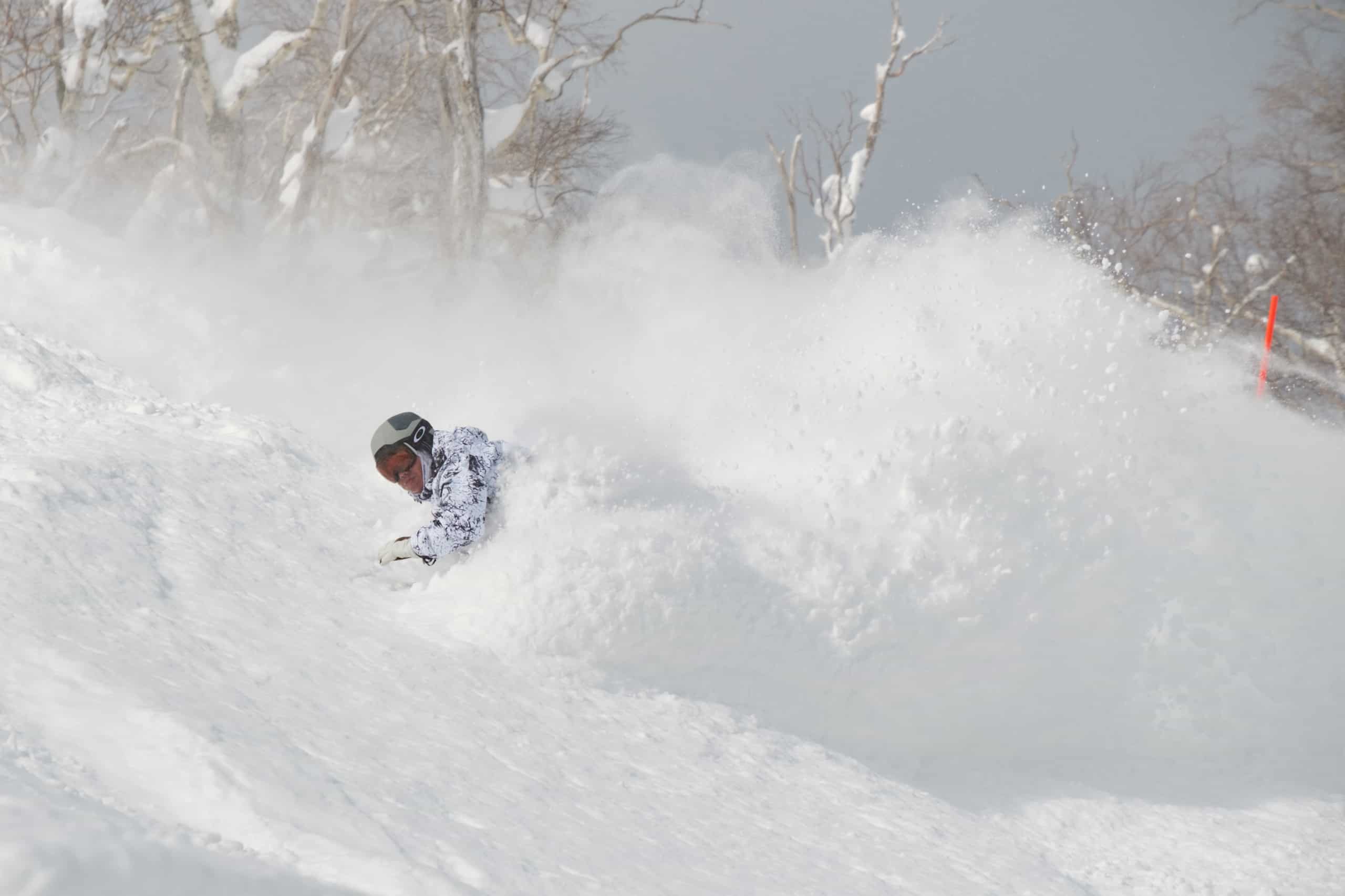
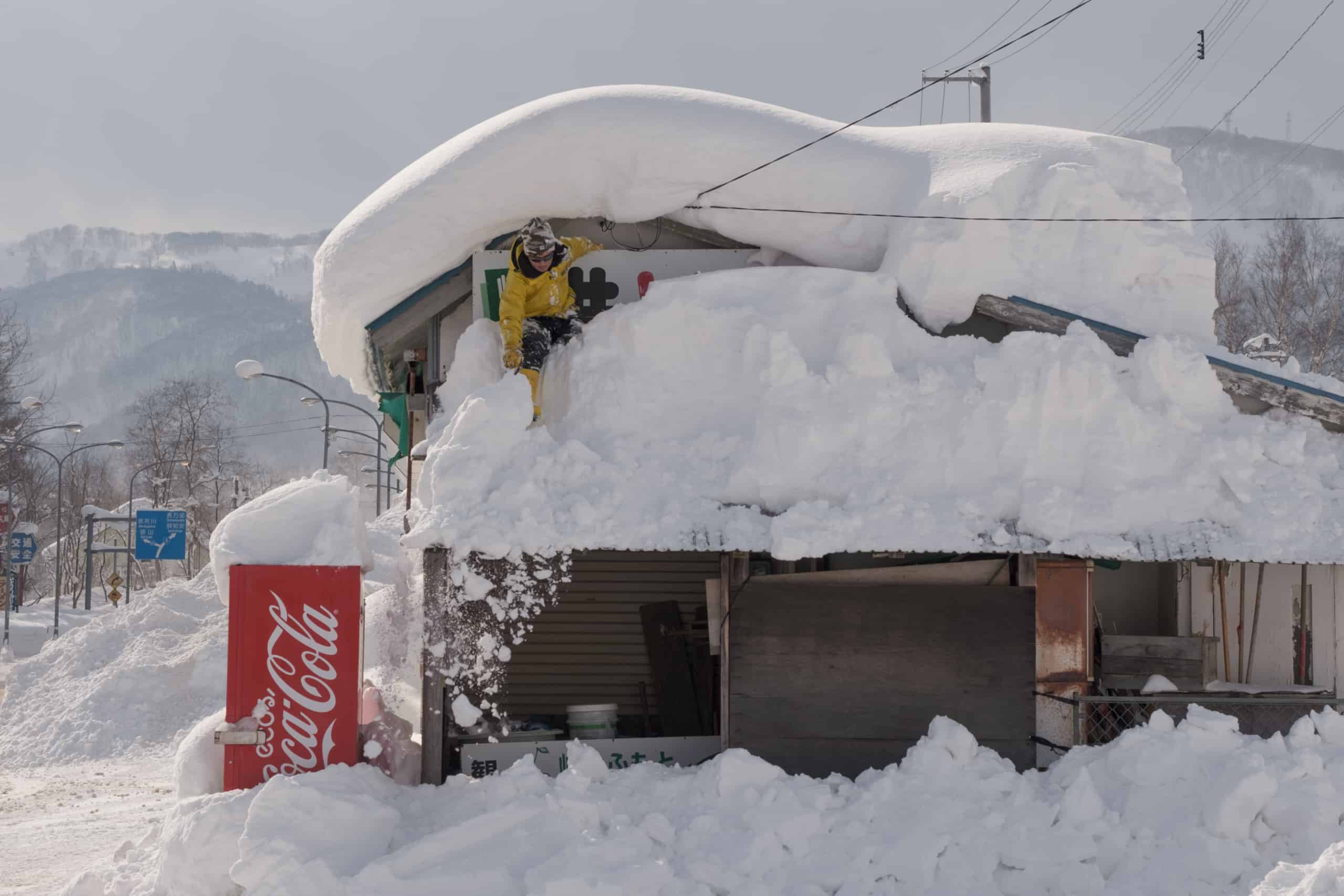
Up in Hokkaido the word has been consistency, our Niseko reporter Chad Clarke reporting after another 12cms last Thursday Feb 9 that it was the 25thday straight of measurable snow fall. It has been cold too, the temps ensuring over three weeks of quality powder days. The past week has seen some regular top ups for Hokkaido resorts but nothing huge, Furano receiving 36cms in the past week while Niseko has received 42cms. The trend of lighter snowfalls is set to continue on Hokkaido, the forecast for 15cms over the next few days in Niseko and 10cms for Furano, but with much colder temps.
USA
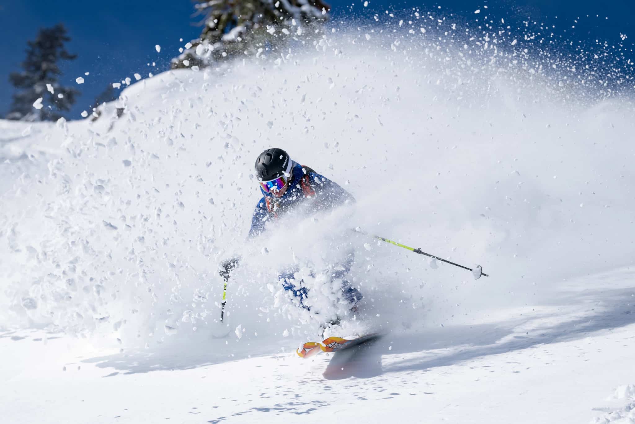
As we reported in the last world snow wrap, the first three weeks of January were sensational for many parts of the US, especially California and Utah which were as good as it gets and were boasting mid-January totals of over four metres. Things slowed down a little during the last week but there were still some good storms, Jackson Hole receiving 121cms from Jan 28-30, while Alta in Utah and Steamboat, Colorado both reporting 53cms in the last week of January .
February started pretty well with good falls for resorts in California, Utah and Wyoming. The Pacific Northwest has also had plenty of snow this month, Mt Baker’s February total currently sitting at 121cms.
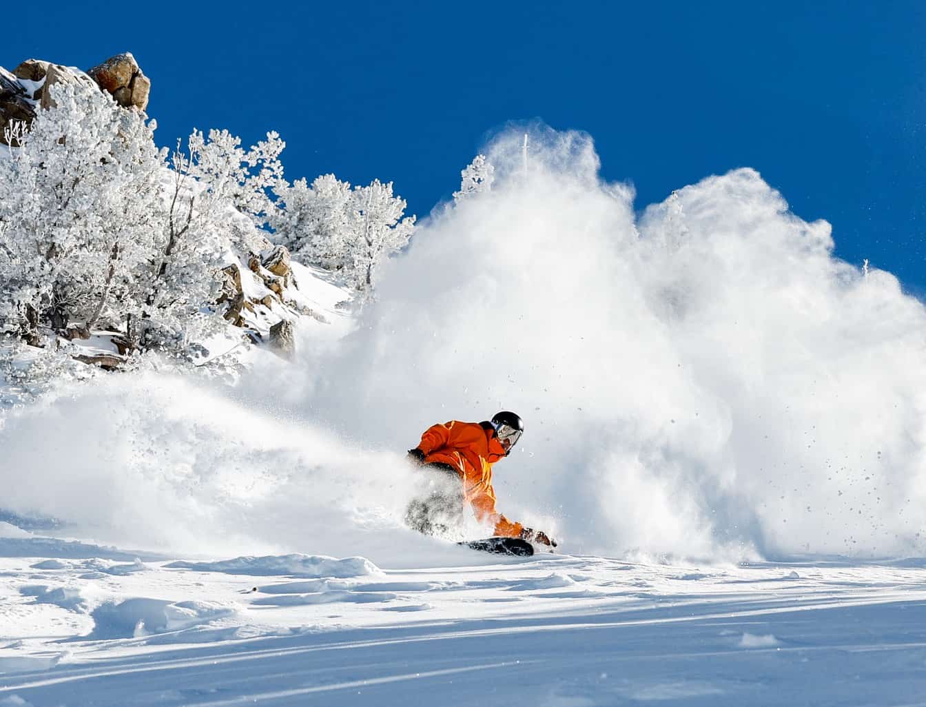
The immediate forecast is looking good for widespread snowfalls in the Rockies with southern Colorado in the firing line, with 88cms forecasted for Wolf Creek while Telluride’s five-day forecast is for 50cms. Smaller totals are expected further north with 15-20cms for Aspen and Vail. Jackson Hole and the Utah resorts should see similar totals. The Pacific Northwest will also see plenty of snow over the next few days, but the strip track is too far north for the Sierras with just a few centimetres expected over the next week.
Canada
Most of the action over the past few weeks has been in British Columbia, but it has been a mixed bag with a few snowy days, dry cloudy days and periods of sunshine. However, there have been consistent snowfalls but nothing huge, Revelstoke receiving 41cms over a 7-day period last week while Fernie had a good powder day last Thursday after 2ocms overnight. After a lean season Kicking Horse also received snow last week with a couple of good days last Thursday and Friday.
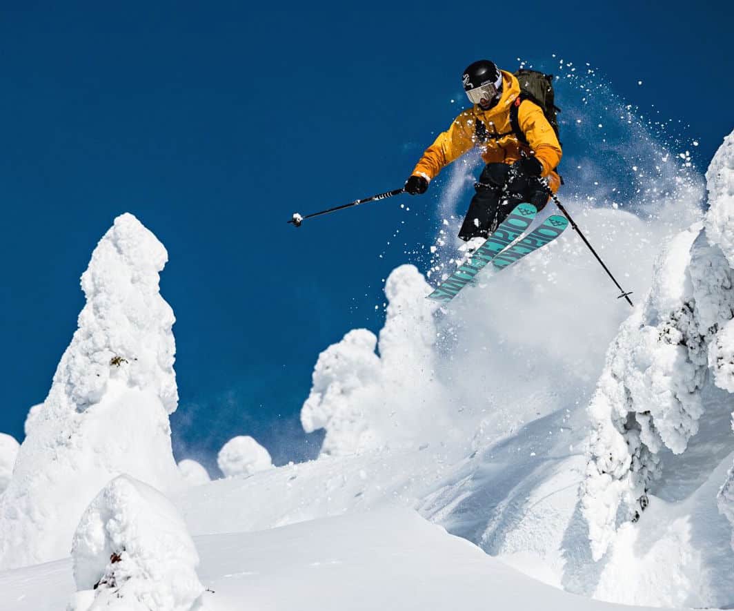
The Coast Range did well out of two storms, the first early last week when Mt Seymour received 40cms while Whistler Blackcomb had 20cms backed up by another 20cms last Thursday/Friday. The good news is another storm is due for British Columbia tonight, the forecast calling 10—15cms for Whistler. Interior resorts should see heavier falls, Revelstoke and Fernie in line for 15-20cms while Kicking Horse should see 10-20cms. That is good timing with two qualifying events scheduled for Kicking Horse this week ahead of the Freeride World Tour event, the waiting period starting on Feb 17.
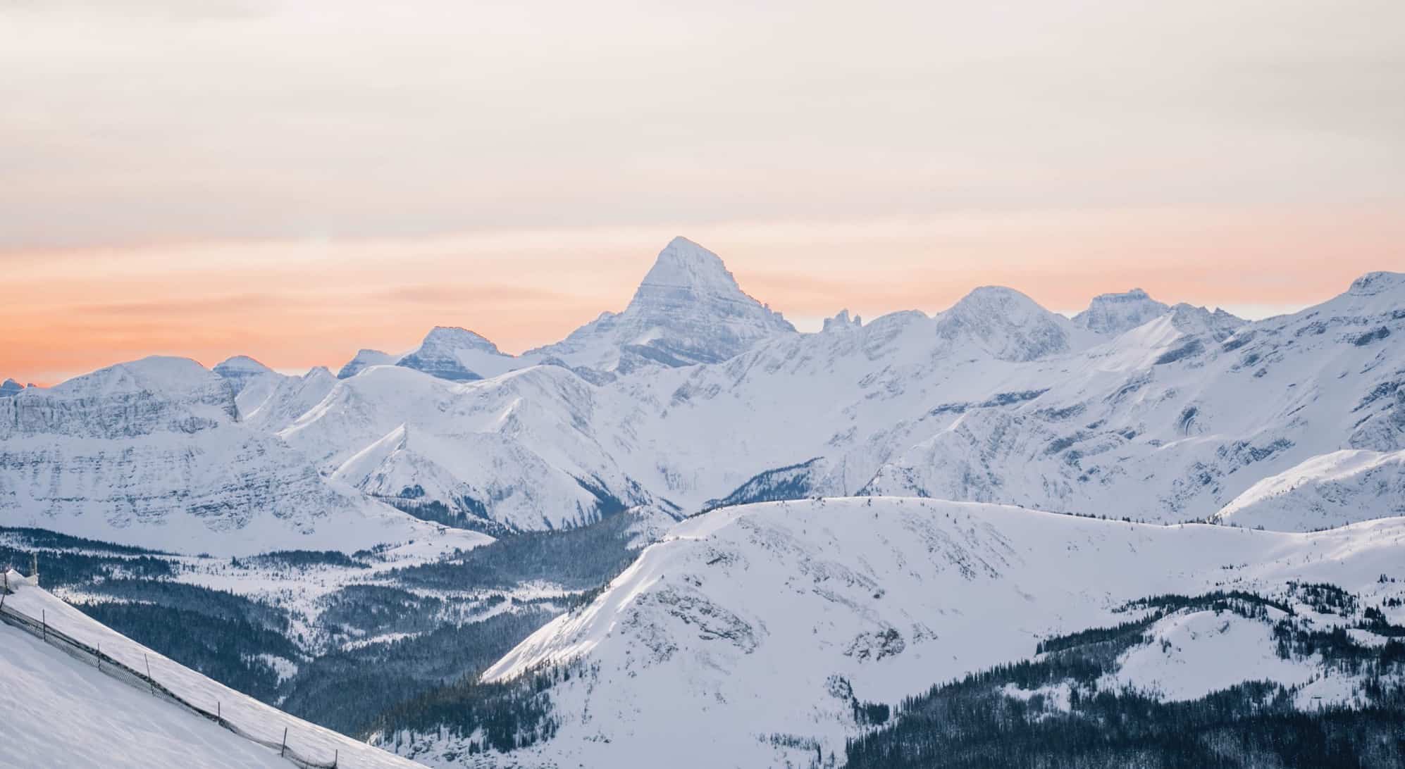
After an extended dry period to kick of 2023 snow finally returned to the Canadian Rockies last week, Lake Louise reporting 18cms, Sunshine 16cms while Castle Mountain received 25cms. It was a long overdue top up and conditions will improve again over the next few days with another storm set to drop 10-15cms by Wednesday.
Europe
It has been a tough winter in the European Alps with inconsistent snowfalls and long periods of dry, sunny weather. The western Alps and the Pyrenees have missed out totally over the past two weeks while it is a different story to the east with good snowfalls in Austria and Germany last week. The Arlberg and Tyrol regions in Austria did very well with a solid storm dropping significant snow totals, many resorts reporting a metre of snow. Some resorts in eastern Switzerland and the northeast of Italy also received snow.
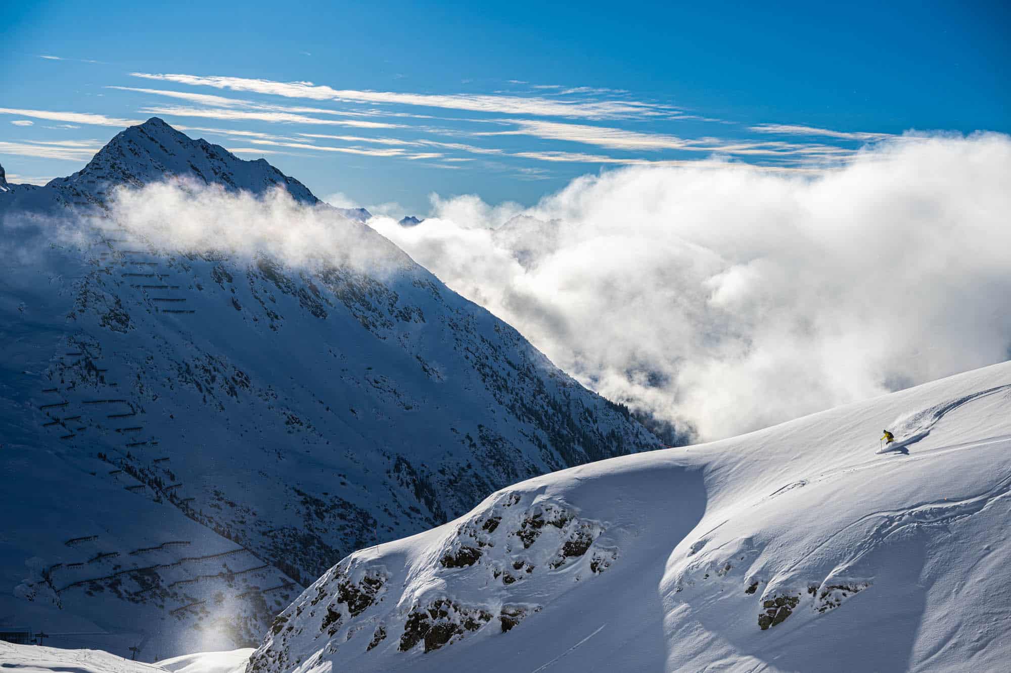
However the heavy snowfall was accompanied by strong winds, resulting in an unstable snowpack and high avalanche danger and unfortunately there were a number of fatal avalanches in Austria last week. The forecast is for more sunshine and mild temps across the Alps for the next week. Hopefully winter will make a return before the end of the month.
Where We’d Like To Be This Week
Kicking Horse, BC. An incredible mountain with some of the best inbound terrain in Canada and the Freeride World Tour is in town this week – always an awesome event to watch.


