World Snow Wrap February 5 – Powder Days Continue In Japan, Metres of Snow in California, Fresh Snow In BC, Snow and Avalanches In Europe
Mountainwatch| Reggae Elliss
It has been a big couple of weeks in the Northern Hemisphere with five-day snow totals of 1.5 to two metres in California, deep snow and avalanches in locked-down Europe and a run of excellent powder days in Japan. Read on for the details.
Japan
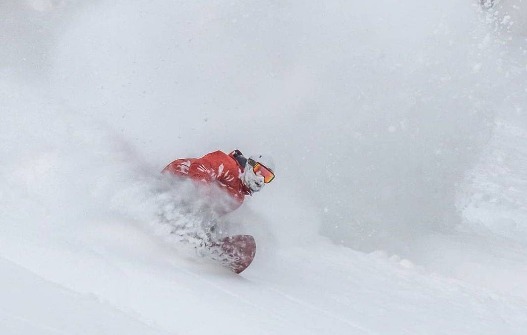
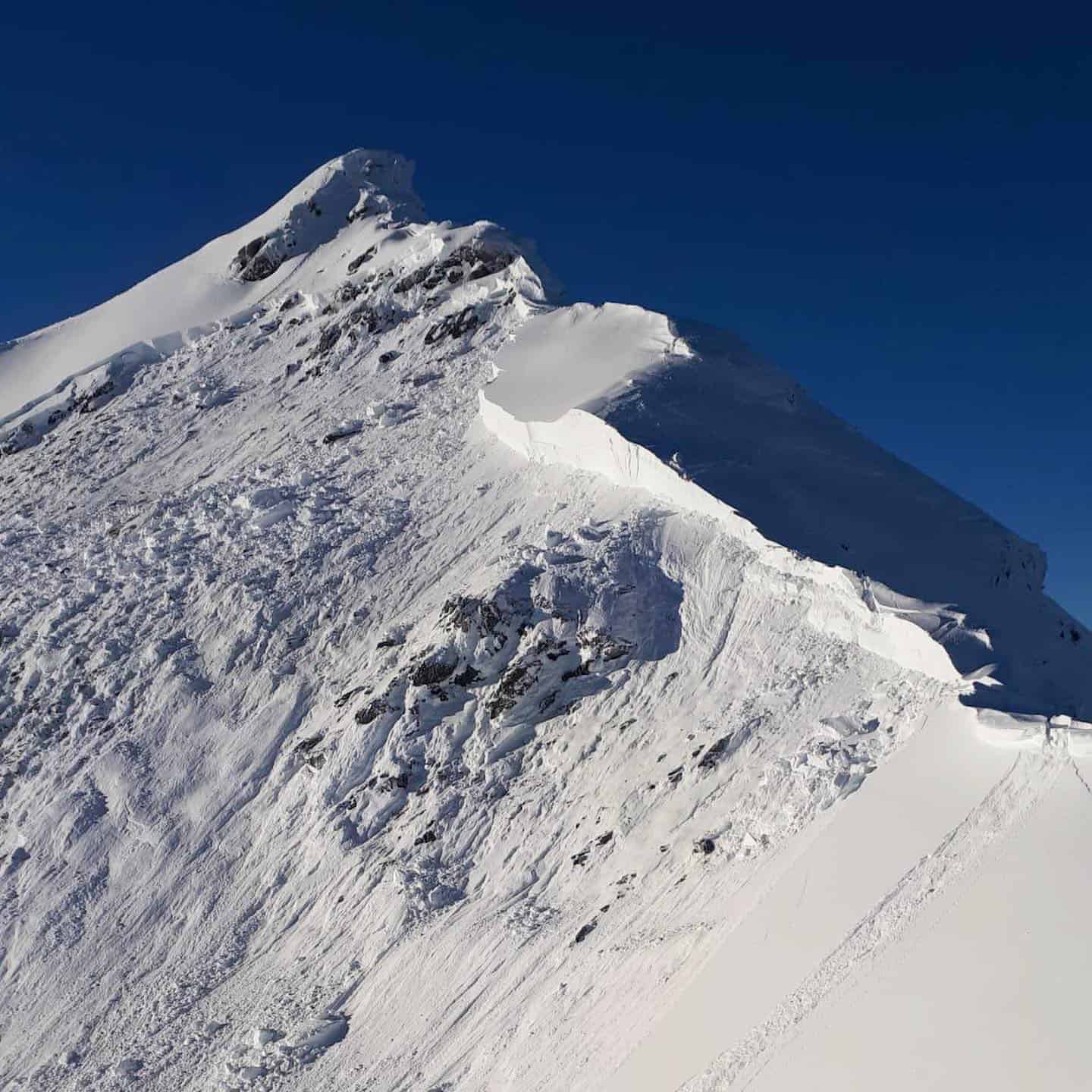
It has been a big fortnight in Japan although a couple of mild days earlier in the week brought some rain to Niseko, but that changed mid-week when a colder front hit on Tuesday night and there’s been 80cms in the past three days. Conditions were tough with blizzard conditions at times and some wind-hold, and according to our snow Niseko snow reporter Henry Johnston, the storm is still in “full swing” today and it’s awesome out there – just check the above photo from today.
It has been a similar story in Furano with over a metre of snow since Jan 30 and from Lucy Morrell’s report, it sounded like yesterday was the day: “Basically half a metre of fresh up top at Furano today and hardly a soul to share it with. Crazy days.”
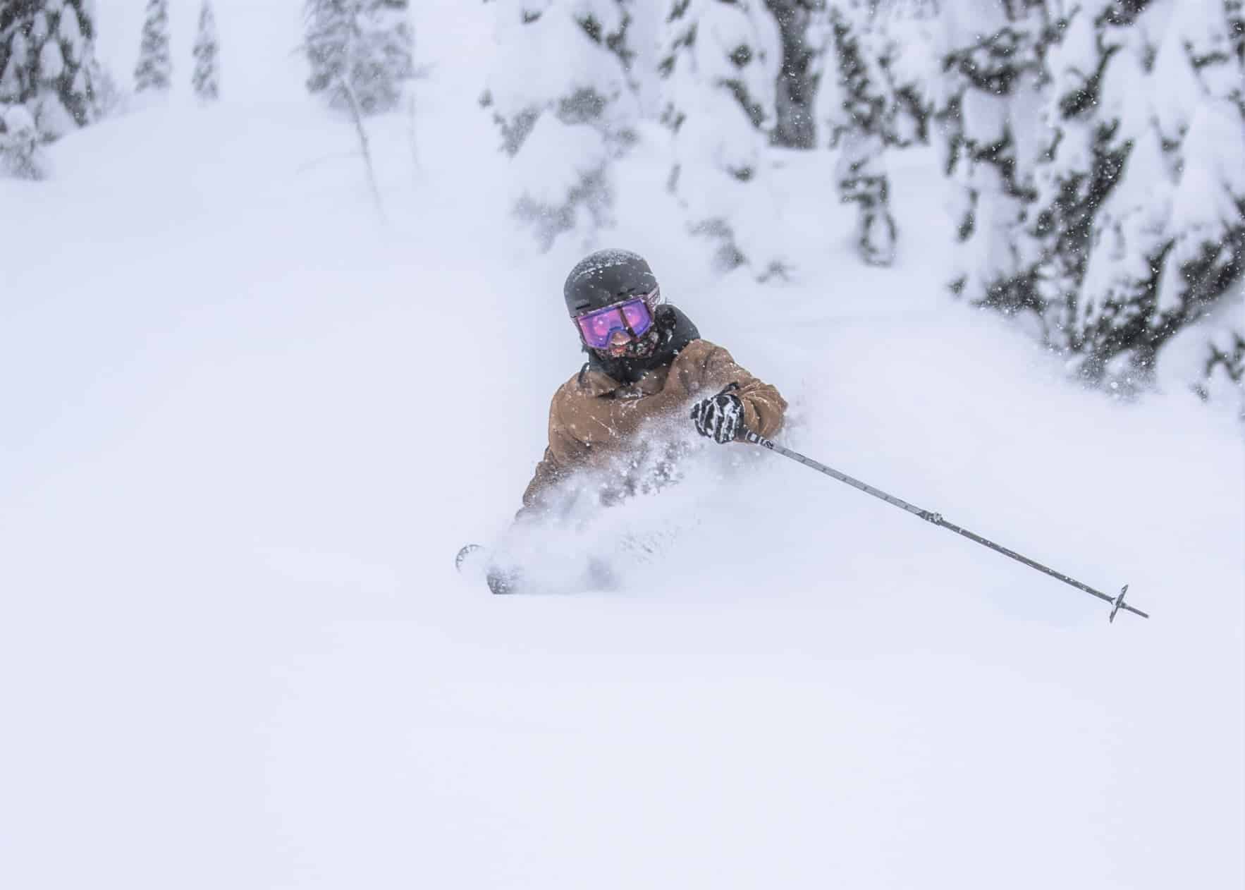
Resorts in Honshu have also received consistent snowfalls this week although the totals aren’t as high as in Hokkaido. Hakuba received 46cms this week and there have been a few very good days, including this morning after 20cms overnight and a temps of -6, making for some fun powder turns this morning. Myoko also saw plenty of snow this week with 20-30cms on Wednesday and some empty mid-week pow turns on offer.
The forecast is for a mixed bag this weekend with some rain in Honshu before colder air on Sunday with snowfalls increasing on both islands, the Grasshopper calling that, “High quality, light and fluffy powder will continue to fall over Japan Monday through into next Thursday as freezing N-NW winds slowly turn to the W-NW.”
USA
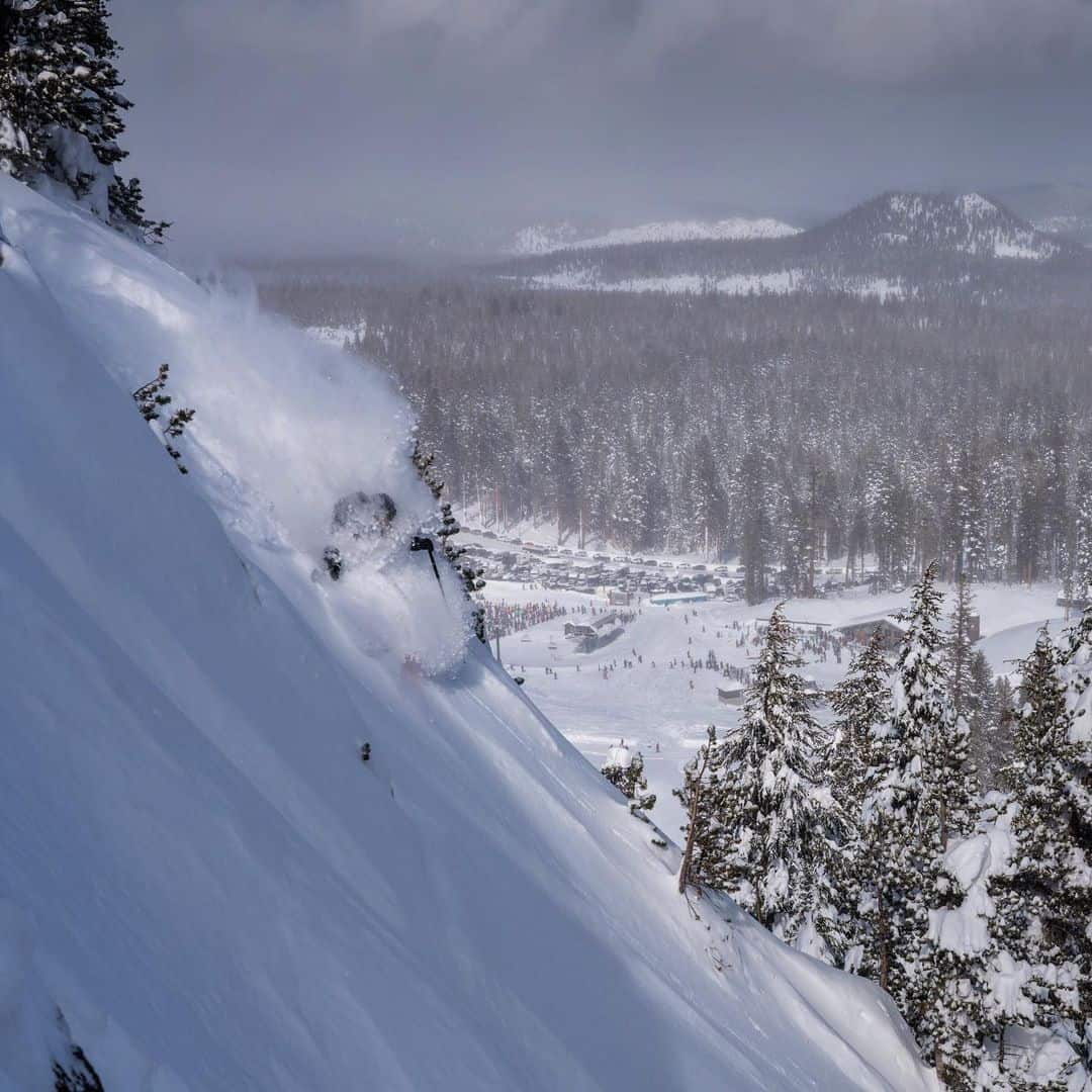
The big snow story out of the US over the past week has been the massive snowfalls in California late last week. Most resorts in the Sierras picked up over 150cms of snow with Mammoth reporting a massive 2.7 metres at the peak and 2.3 metres at the base and resorts in Tahoe weren’t far behind, Kirkwood topping the charts with 2.2 metres and Squaw Valley had two metres. That is a lot of snow, most if it falling over a 72-hour period last Wednesday to Friday.
The storm coincided with the lifting last weekend of restrictions on overnight stays in Mammoth last weekend although snow clearing and avalanche control did cause some delays in opening the lifts. The forecast is for sunny Californina weather ove the next week but cold temps should maintain quality snow.
In Colorado snowfalls have been below average over the past few weeks with cold and hard-packed conditions interspersed with occasional small top ups. Fortunately, it looks like a much-needed snow will arrive over the next few days in the Rockies, favouring resorts in the north, Steamboat due for a solid 60cms while further south, Vail and Aspen should get a respectable 20-35cms. Resorts in Wyoming will also do well, Jackson Hole set for 50cms in the next five days while Utah resorts will receive 25 to 30cms
The month has started with consistent snowfalls in the Cacasdes, Mt Baker receiving 65cms over the past week. The snowfalls will continue over the weekend and with heavy falls at time and a whopping 106cms expected by Monday.
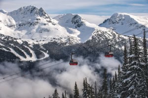
Canada
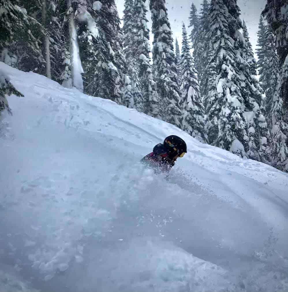
The storm that is set to dump on the Pacific Northwest will also skirt resorts further north with 35cms forecast for Whistler over the next five days. That will add to 30cms received this week and it is a welcome change in the weather pattern after a quiet second half of January. The snow also returned to interior BC this week and there were a few fun powder days in Revelstoke after 84cms in the past seven days. Fernie has also had some great conditions with 52cms over the past few days while Whitewater had 40cms earlier in the week. Resorts in BC should see a few more snowfalls across the weekend with 5-10cms in the forecast ahead of a cold and clear week.
There have been plenty of fresh tracks to be had in Lake Louise after 40cms since the weekend including 25cms over the past two days. Conditions have been similar in Sunshine and the other Banff resorts while further north Marmott received 18cms in the past four days.
The forecast for resorts in Alberta is for a few snow showers this weekend followed by sunshine but very cold weather, Lake Louise set for max temps between -16 and -22!
Europe
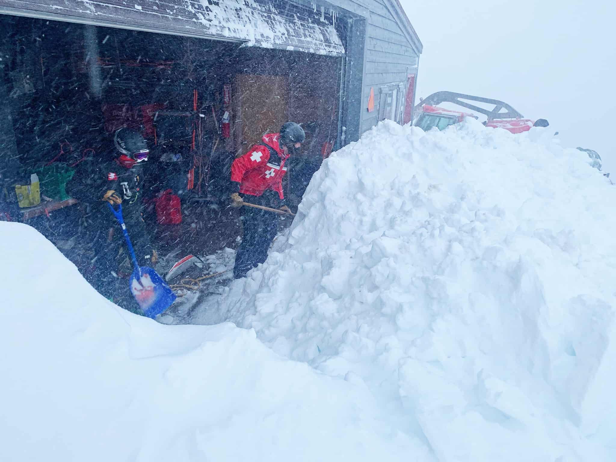
There were some massive snowfalls in Europe last week with resorts in Austrian and Switzerland and France reporting seven-day totals of 1.5metres. That set up a good powder day in Austrian resorts last week weekend which are open to locals only, although the volume of snow has increased the avalanche danger. It was a similar story in Switzerland, where resorts are operating as per normal. with some resorts isolated last week due to road closures and the avalanche danger, enhanced by rising temps and some rain last weekend, rose to 5, it the highest level. Unfortunately, there were a number of fatalities again this week – something that has sadly occurred regularly this winter.
Resorts in France and Italy remain closed and at this stage the best hope is they may open in March or April for some spring skiing. After a few mainly fine days it looks like snowfalls will return to the Alps late in the weekend and early next week, although totals will be much less than last week with 24-50cms forecast over a five-day period.
Where We Would Like to be This Week
Niseko. The place is empty, and the snow is going to be going off with a week of powder days ahead.