World Snow Wrap, January 13, 2025 – The Snow Keeps Coming in Japan, Good Falls in Europe, Powder Days in the Rockies and BC
Mountainwatch | Reggae Elliss
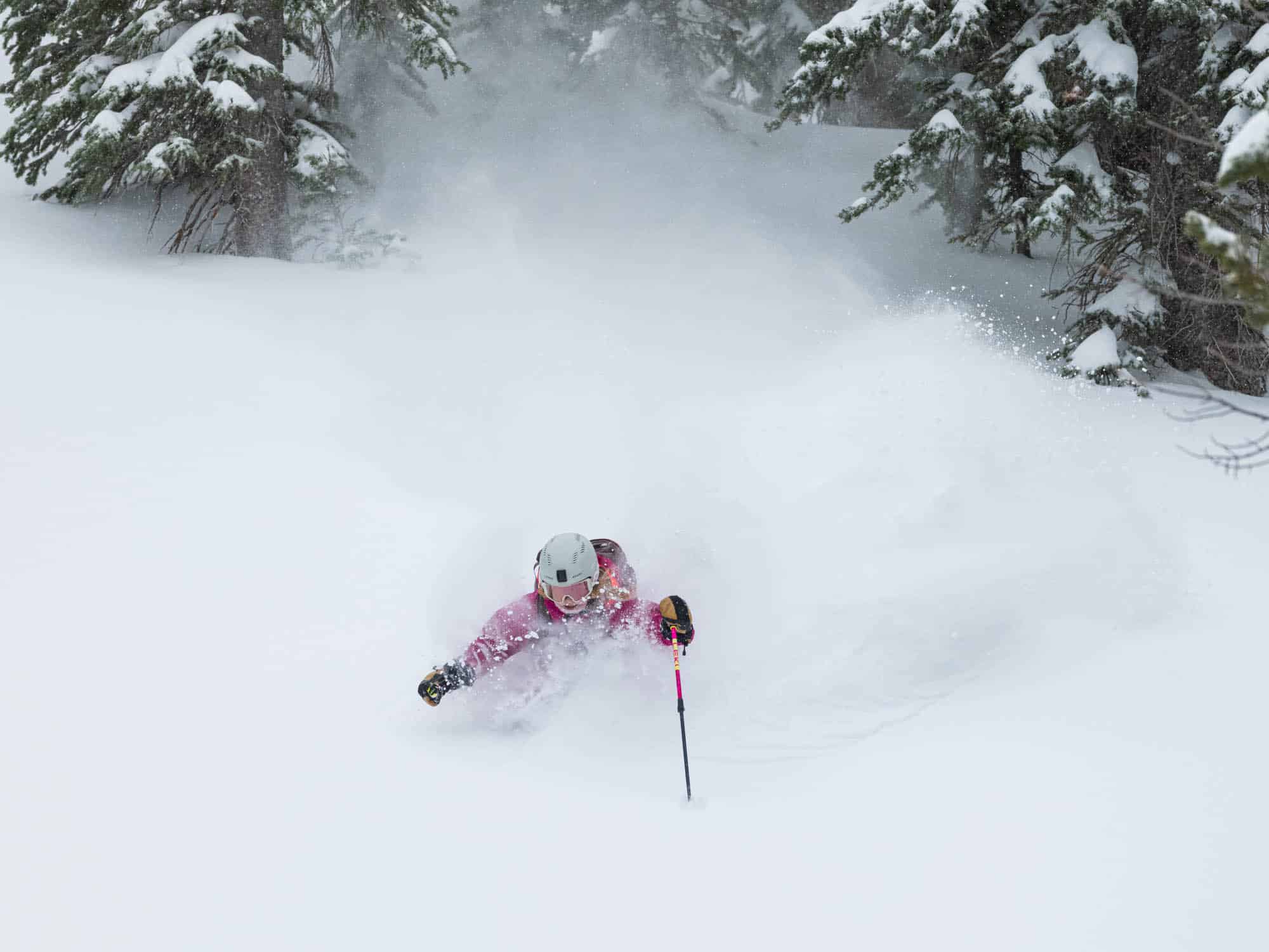
It has been a good couple of weeks in the northern hemisphere with consistent snowfalls in Japan, particularly on Honshu, regular top-ups in British Columbia and some good days in parts of the western US while in Europe, the Alps are coming out of a good storm cycle.
Japan
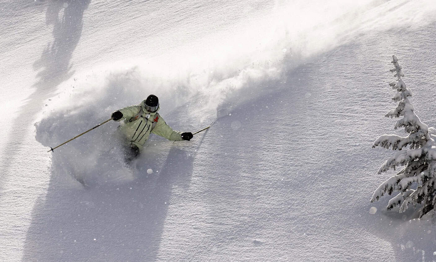
After seemingly endless powder days the was a break in the storm cycle this weekend with a couple of days of sunshine on both Hokkaido and Honshu. Prior to that it has been pretty relentless, particularly on Honshu where resorts in Central and Northern Honshu have seen a tonne of snow. The past week alone saw Hakuba lock in 130cms over three days from Jan 8th-10th, while Myoko picked up 150cms over the same period.
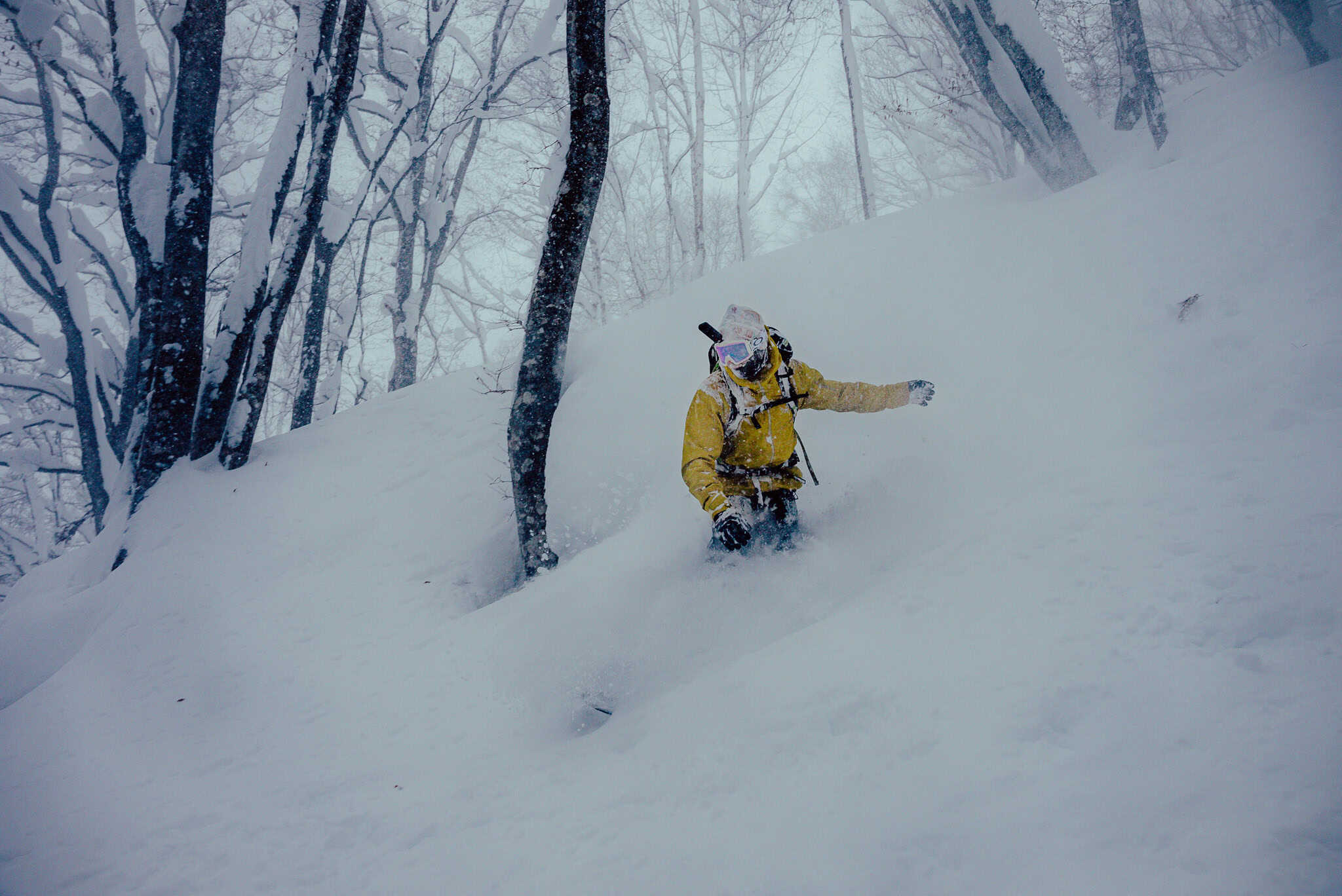
The storm came with some strong winds and avalanche danger was “considerable” even below the tree line. As Joey Stanco wrote in his Myoko snow report on Jan 10th: “the current snow pack is unstable. If you don’t know where to go, don’t go. If you do know where to go, but you don’t understand the snow pack, then don’t go. We have a lot of changes in the weather, and the snow needs time to settle. Please stay in the resort until for the snow sorts itself out”.
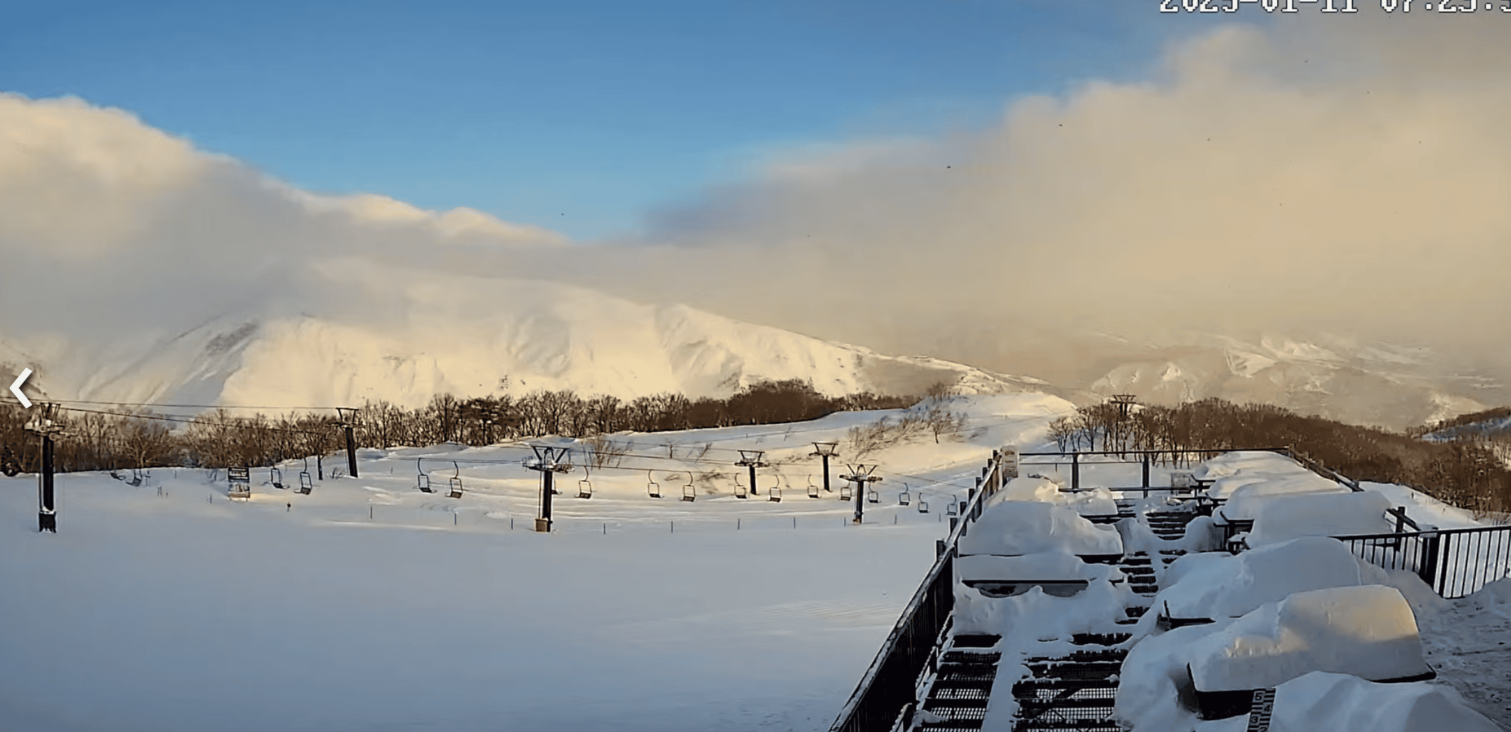
After a record-breaking December this month has been quieter in Hokkaido with Niseko recording 26cm over the past week, half of that on Wednesday night. However, the first week of January saw 52cms and the current monthly totals sitting at 82cms. In Furano there were some good falls during the past week, with a couple of nice powders days Wednesday ad Friday, the monthly total sitting at 75cms,
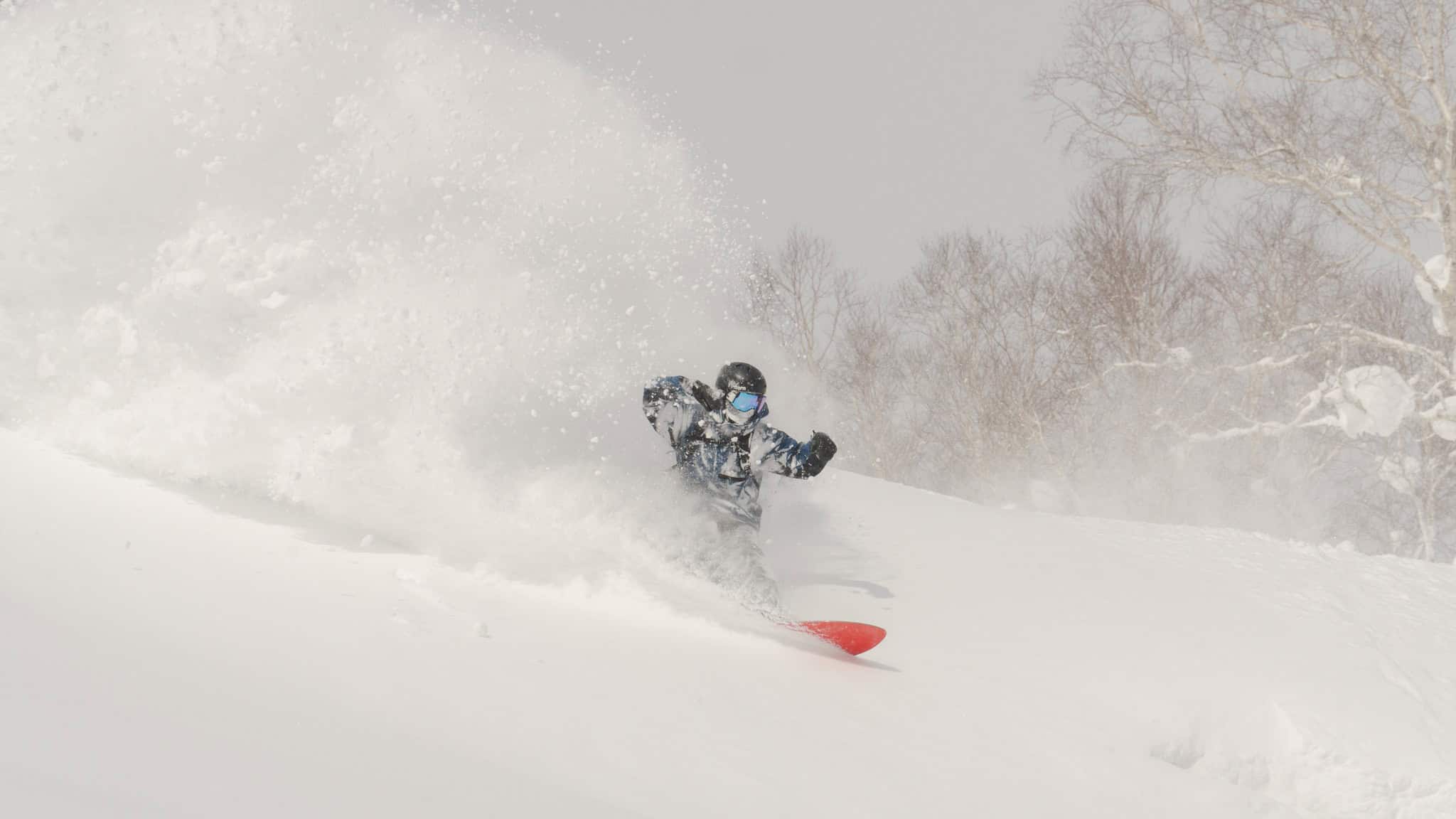
It won’t be long until the next round of snow with cold NW winds set to deliver snow showers on Monday night ahead of heavy falls for Hokkaido and Northern Honshu on Tuesday. Snowfalls will extend in to Central Honshu on Wednesday, the Grasshopper writing in his latest Japan forecast that, “Snow will return to Central Honshu on Wednesday, falling heavily as cold northwesterlies push down into the region. Northern Honshu and Hokkaido will also continue to pile it on with continued moderate-to-heavy falls of high-quality powder…”
The latest forecasts are calling 25cms for Niseko, 45cms for Nozawa and Myoko and 56cms for Hakuba over the next week. Check out or daily snow reports from our on-the-ground reporters in Niseko, Hakuba, Myoko and Nozawa Onsen to stay across what it happening in Japan.
USA
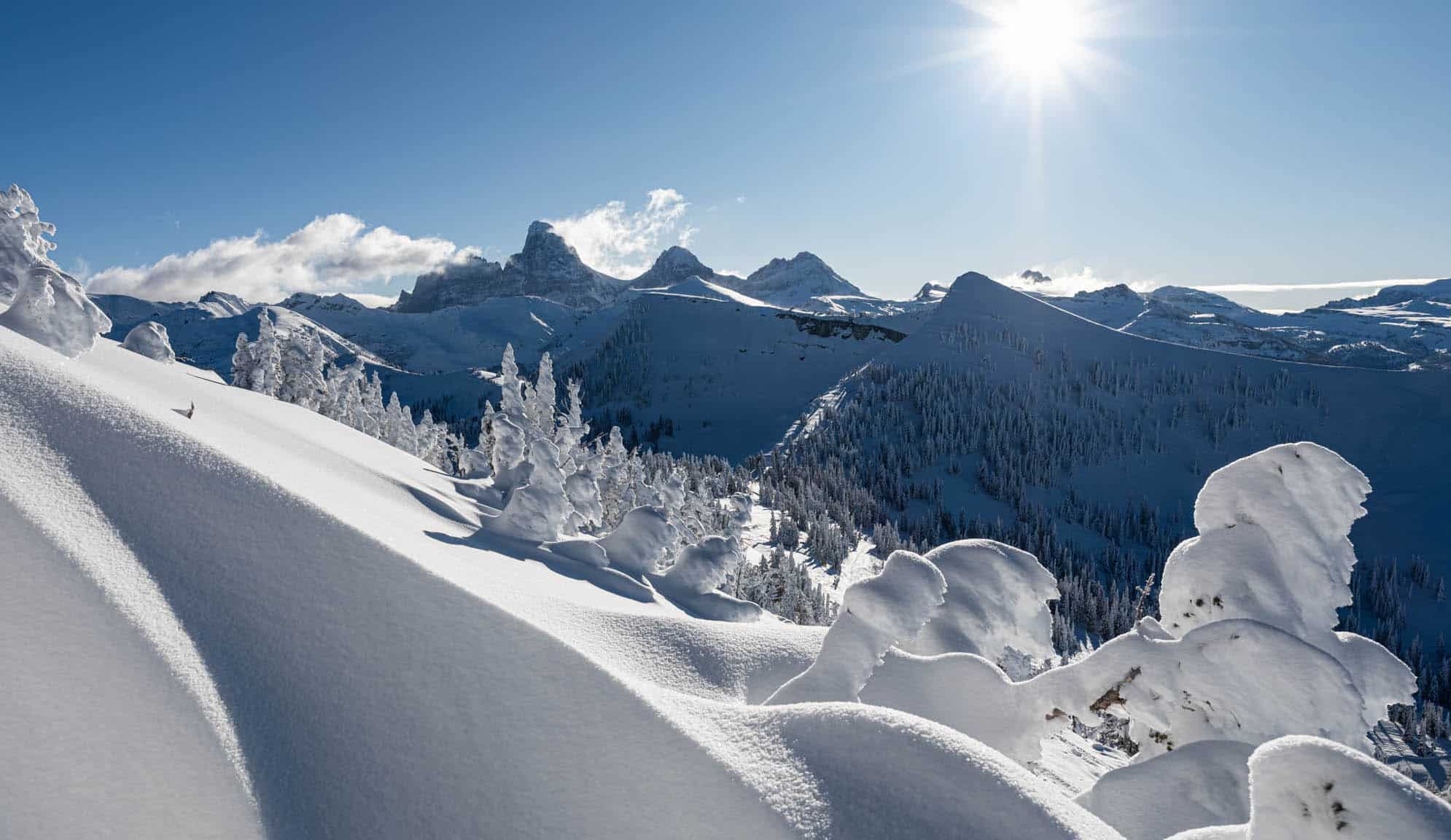
The past couple of weeks have seen a few snowfalls in various regions of the US the Rockies and Cascades picking up some good totals. That has led to more terrain opening as resorts the Rockies claw their way back to season snow pack averages after below average December. Jackson Hole is a good case in point with 48 ins over the past two weeks weeks, including another 25cms on Friday night.
Resorts in Utah have had similar totals Alta claiming 88cms in the first week of January and another 50cmd over the past two days on. In Colorado the first week of January was also good for some resorts, Vail picking up 55cms while Steamboat is reporting 70cms in the past week. Another good storm has added to the totals in the Rockies over the past few days and it was a good weekend for powder turn, resorts in Utah and Colorado recording 35 to 56cms since Friday night.
The Pacific northwest saw some good totals in the first week of January, Mt Baker reporting 35cms while the most recent storm has dropped another 20cms since Friday. In California the Sierras have been dry, the exception being one storm on January 4th which dropped 35cms in Tahoe and 10cms in Mammoth.
It looks like dry settled weather for the next week for most of the western US as a high-pressure system set to dominate the weather over the next week. Check the Grasshopper’s NorthAmerican forecast for the details.
Canada
Resorts in British Columbia have had a few helpful top ups during the past two weeks but no major snowfalls. Whistler picked up good refill of 18cms on Thursday night while Big White picked up 12cms. Revelstoke opened the month with snow showers dropping 28cms over a four-day period ahead of another 15cm leading into the weekend. Prior to this weekend Kicking Horse has been experiencing an extended dry period before picking up 13cms Thursday night through to Friday night.
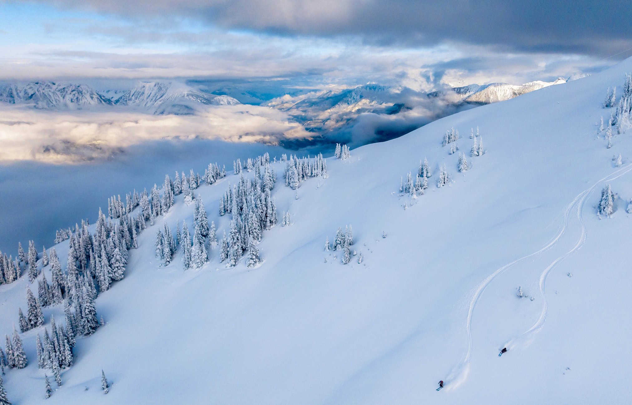
The forecast is for fine weather for Whistler Blackcomb over the next few days ahead of a few snow showers heading into next weekend. It will be similar further inland with a few snow showers for Revelstoke across the weekend then mid-week will be mainly fine for interior BC resorts.

In Alberta it has been a slow start to the year with Lake Louise reporting a 10cm fall on New Year day and a few light snow showers for total of 4ins leading into this weekend. In between it is been mainly fine and cold with dry chalky snow and plenty of time on the groomed runs. The forecast is for a few snow flurries over the next few days with cold temps, max daily temps of -17 late next week.
Europe
It has been a good start to the year for the European Alps with a couple of good storms mixed in with some bluebird days. The storm cycle started around January 3rd when the fist storm dropped 60cms over a five-day period in the French Alps and then another 88cms from last Thursday into the weekend.
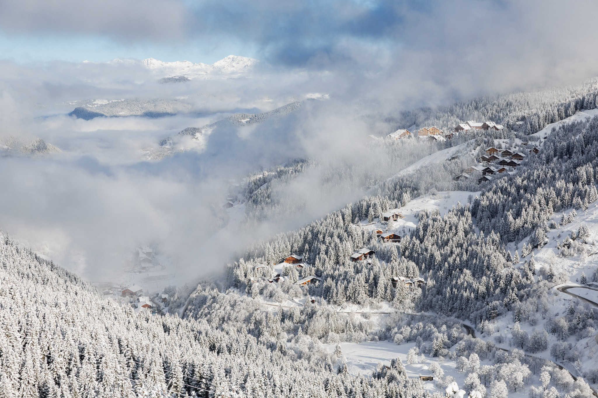
It was similar story in Switzerland and Austria and with strong winds across most regions combined with high volumes of snow, the avalanche danger has been high. Temperatures were also cold with snow falling to low elevations, good news for resorts at lower altitudes which had seen some snow melt during the last week of December due to sunny, mild weather.
There were also snowfalls in Italy’s Dolomite mountains, Madonna Di Campiglio receiving 60cms last week while Livigno recorded 25cms. The Pyrenees also received some snow but not as much as expected and it is low tide for many Spanish resorts with less than 50% of terrain open. It is a bit better in Andorra which received 45cms last week.
It looks like a sunny week ahead for the Alps as high pressure takes hold but sub-zero day time temps in Austria, Switzerland and France will keep the snow in good shape. It will be warmer for regions Italy, temps climbing as the week progresses, Cortina D’Ampezzo heading for a spring like max of +10 on Friday.
Where We’ Like to Be this Week
Hakuba, there’s more snow on the way with a few powder days leading into the weekend.


