World Snow Wrap, January 14th – Tonnes of Snow and a Freezing ‘Arctic Vortex’ for North America, Week of the Season in Japan, Excellent Winter Continues in Europe
Mountainwatch | Reggae Elliss
After a quiet December, things have really ramped up in North America and Japan over the past two weeks with consistent storms and the biggest falls of the year. In Europe there was more snow last weekend, but not the totals seen from earlier storms. There has been a lot going on, so let’s get into it.
USA
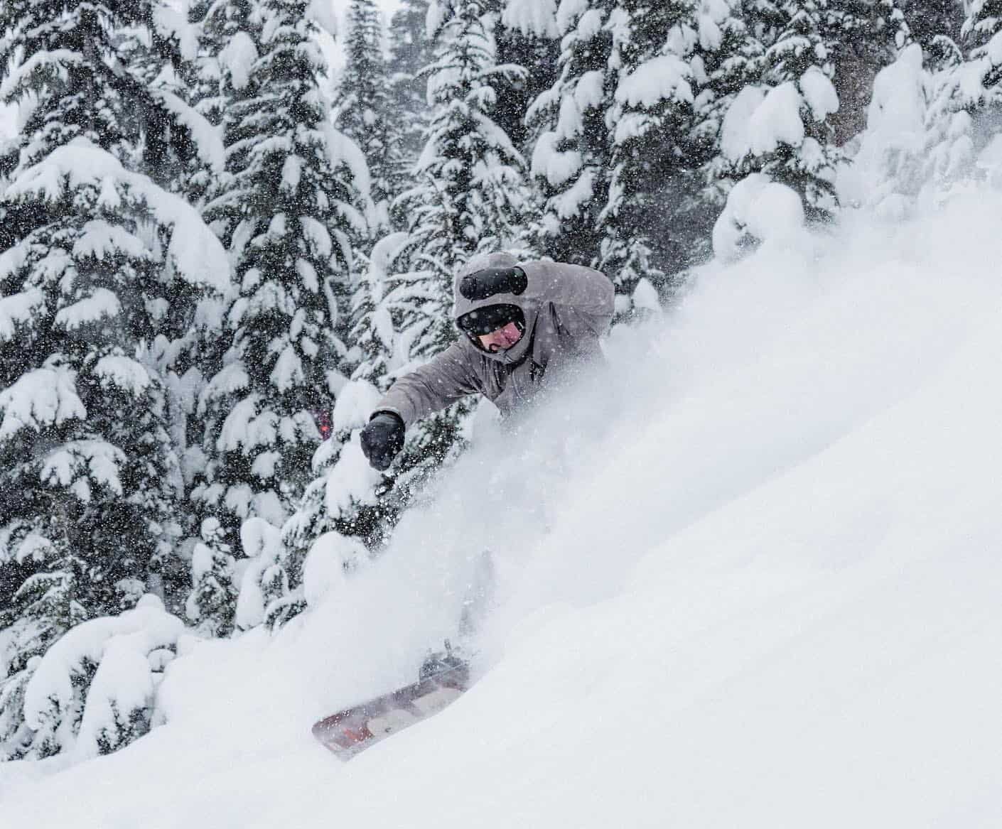
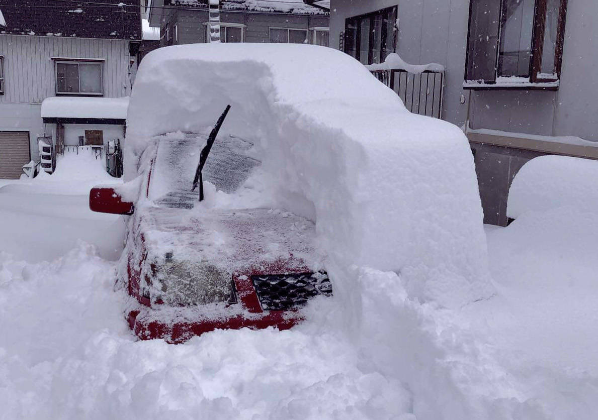
It has been a huge couple of weeks for many resorts in the Western US with big snow totals since a solid storm hit last weekend followed by top-ups and a run of stellar powder days in many resorts over the past week. It has been a massive turnaround in the Pacific Northwest where the season was limping along with close to no snow, but the three-day totals this week are huge – Crystal Mountain and Mt Baker receiving 65-70cms and Stevens Pass a whopping 132cms since Wednesday.
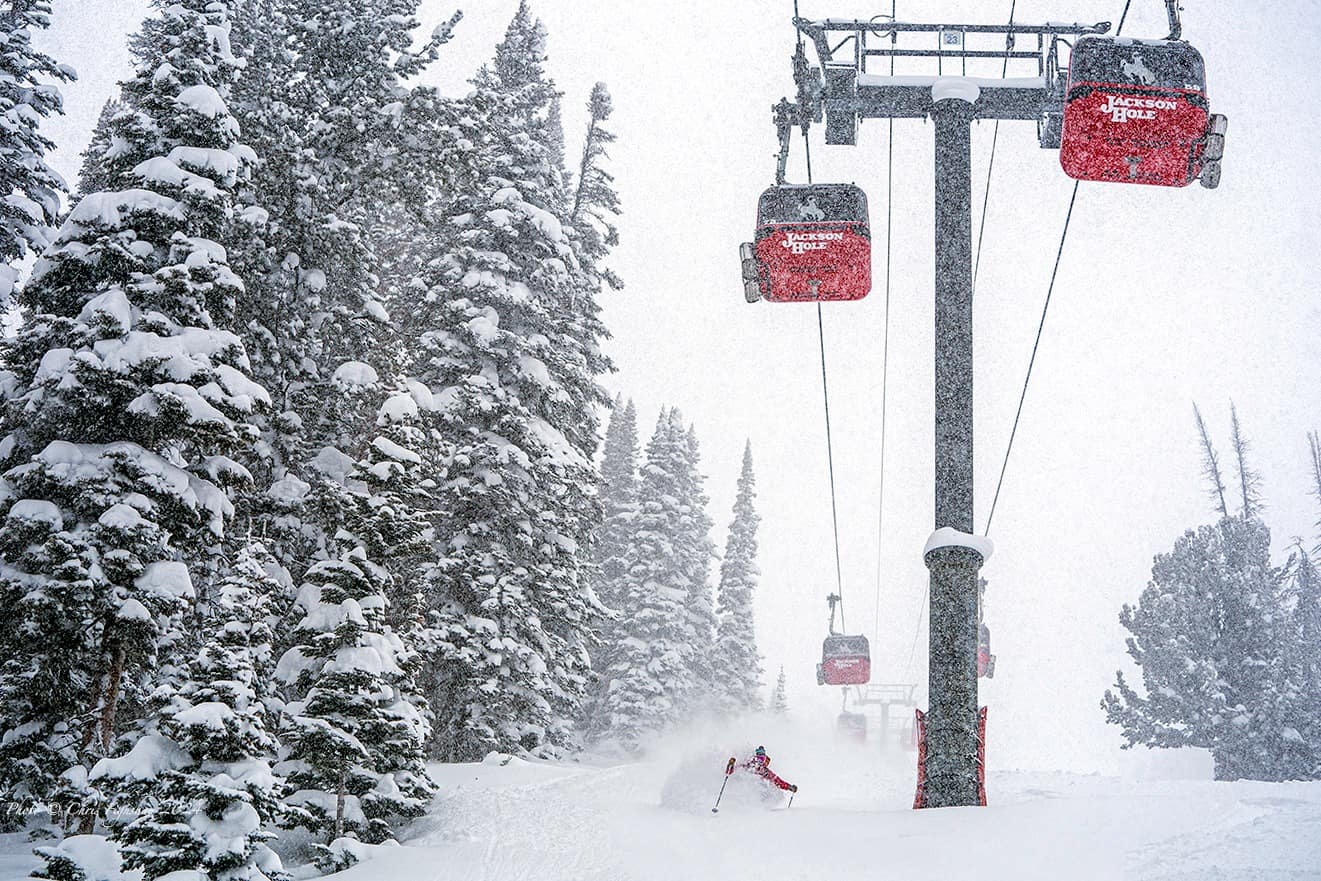
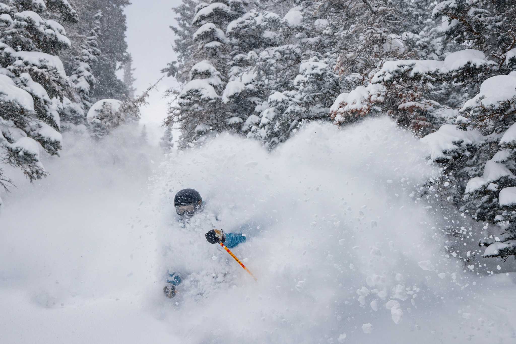
In the Rockies, the Utah resorts have reported big seven-day totals, Snowbird and Alta receiving 130cms of light, dry powder! It has also been dumping in Wyoming, Jackson Hole and Grand Targhee boasting four-day totals of 90cm. An extended dry period ended in Colorado last Friday, Jan 5th when the first storm hit, leaving 50cms in Steamboat while other resorts saw around 20cms. Since then a series of storms have dropped more snow and while the totals aren’t as high as in Utah, they are still solid, Aspen and Vail with a seven-day total of 35cms, while further north Steamboat has seen 72cms in the past five days.
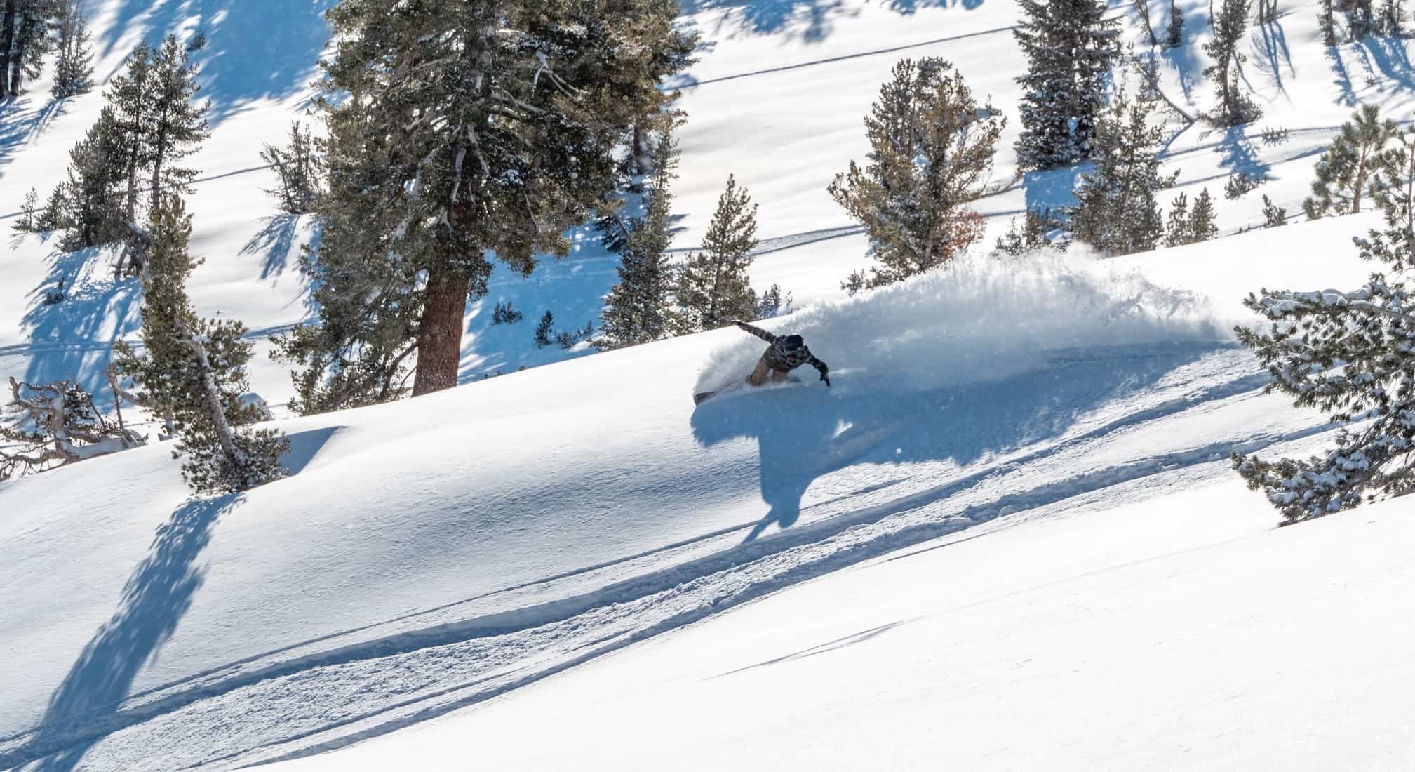
California’s Sierras also experienced a snowy pattern over the past week, the Tahoe resorts receiving 40cms last Monday, followed by another storm which hit on Wednesday night with two-day totals of 15-43cms, the highest totals falling in Palisades Tahoe and Mt Rose. Those two storms also turned on a couple of good days in Mammoth where 25cms fell on Monday followed by another 35cms and a good powder day on Thursday.
Unfortunately, there was an in-bounds avalanche in Palisades on Thursday which resulted in one fatality. Two Australian skiers were also caught in the avalanche, one uninjured the other suffering a dislocated knee and a fractured leg.
Cold air form the north has resulted in very cold temps over the past two days but the storm cycle in the US is showing no signs of letting up, with significant snowfalls and strong winds expected in most regions in the west today and snowfalls continuing into Tuesday/Wednesday. The Pacific Northwest is in line for 60-90cms over the next two days while in the Rockies the forecast is huge for the Utah resorts, Snowbird and Alta expecting over a metre in the next four days while Park City could see 75cms. In Colorado widespread falls are also in the forecast with potential for 30cms in Aspen, 40cms in Vail and a healthy 65cms for Steamboat. It is also looking like a good week in Wyoming, the four-day forecast calling 50cms for Jackson Hole and 73cms for Grand Targhee.
Another storm also hit California today with 35-40cms likely for the Tahoe resorts by the time it clears out tomorrow while further south Mammoth should see 15cms
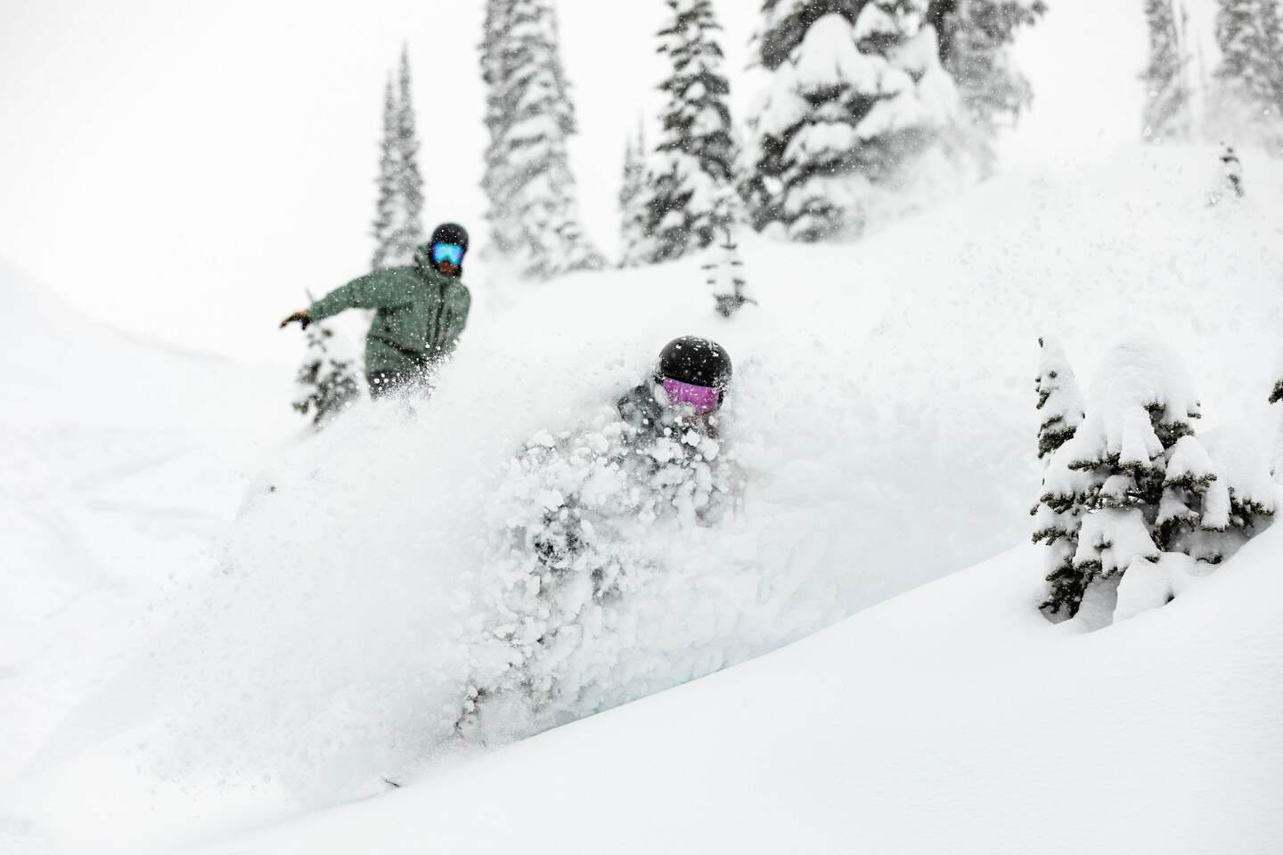
Canada
Prior to the latest round of storms, the biggest talking point in Whistler Blackcomb this winter (other than massive lines at the base areas each morning) was the mild temps this year that led to a lot of rain at lower elevations and no snow at the base. That changed with a couple of big storms and colder weather over the past week and a seven-day total of 93cms. It is a similar story in other BC resorts with good snowfalls across the interior earlier in the week, Revelstoke picking up 75cms since last Sunday while in Kicking Horse, 45cms has fallen over the past 10 days. Cold temps ensured a couple of epic powder days, probably of the season.
The past three days have been clear and cold cross British Columbia – and I mean super cold – an Arctic “polar vortex” dragging down freezing air and temps have dropped down to -38!! That resulted in a few resorts, including Kicking Horse, Big White and Fernie suspending lift operations yesterday due to the extreme cold.
The past week saw a couple of smaller small top ups in Lake Louise and Banff Sunshine resulted in seven-day totals of 31cms and a couple of fun days with fresh snow in a week of good skiing. However, the cold temps saw limited lift operations yesterday. The temps should start to climb across Canada from tomorrow reaching a balmy -18 in Lake Louise mid-week although much warmer in BC with max temps of -5 on the way.
As for the next round of snow, the next couple of days will dry and cold ahead of a storm hits on Tuesday/Wednesday, the latest forecast models calling 40cms for Whistler by the weekend and 15-20cms for the interior BC resorts. In the Canadian Rockies, the forecast is 5-10cms for Lake Louise and Kicking Horse.
Japan
After a slow start conditions have improved dramatically in Japan over the past fortnight with consistent snowfalls for resorts on both Hokkaido and Honshu, especially over the past week. In more good news the Grasshopper is calling for two more storms this week, the first hit yesterday and a second storm is due tomorrow
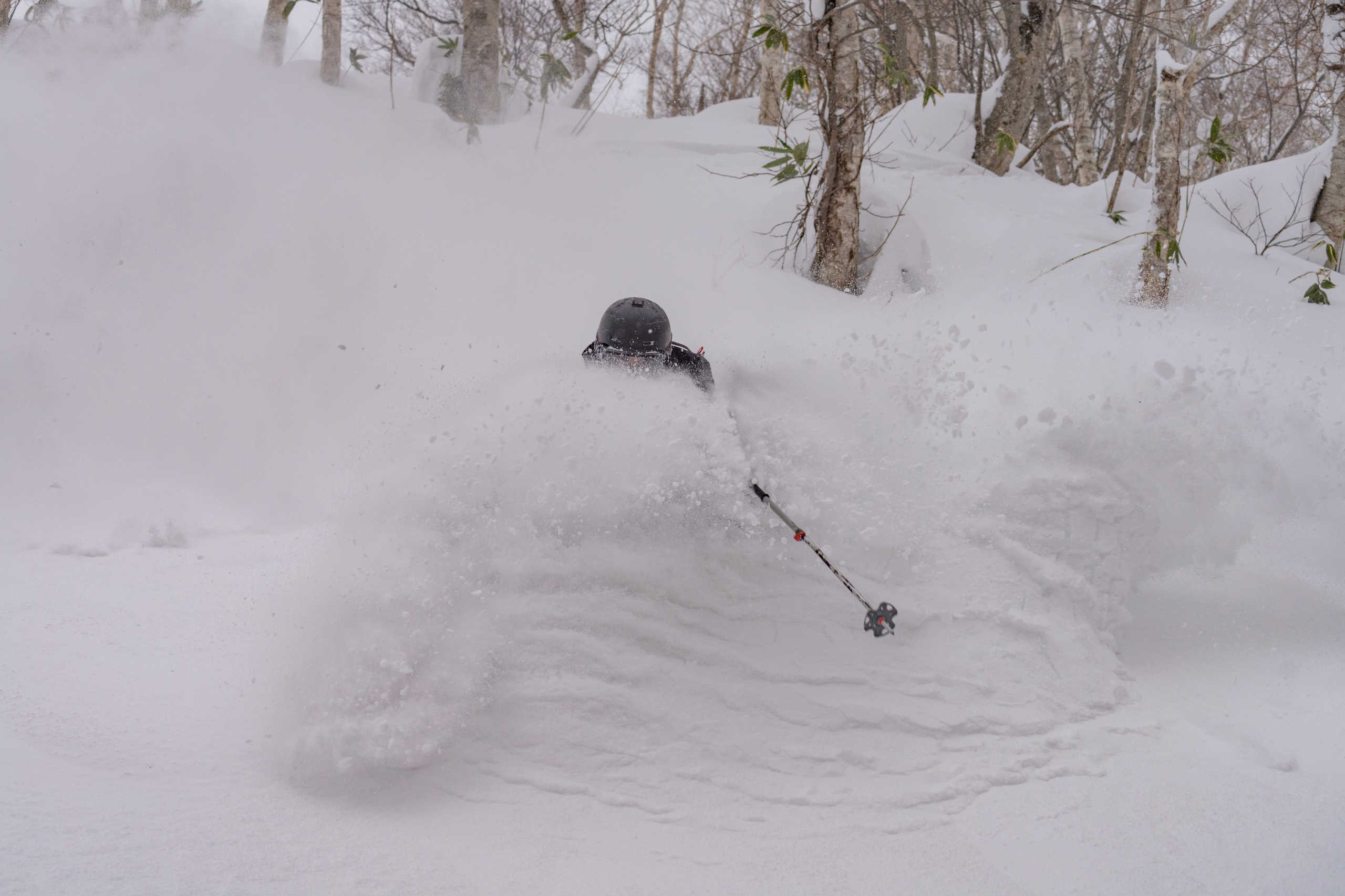
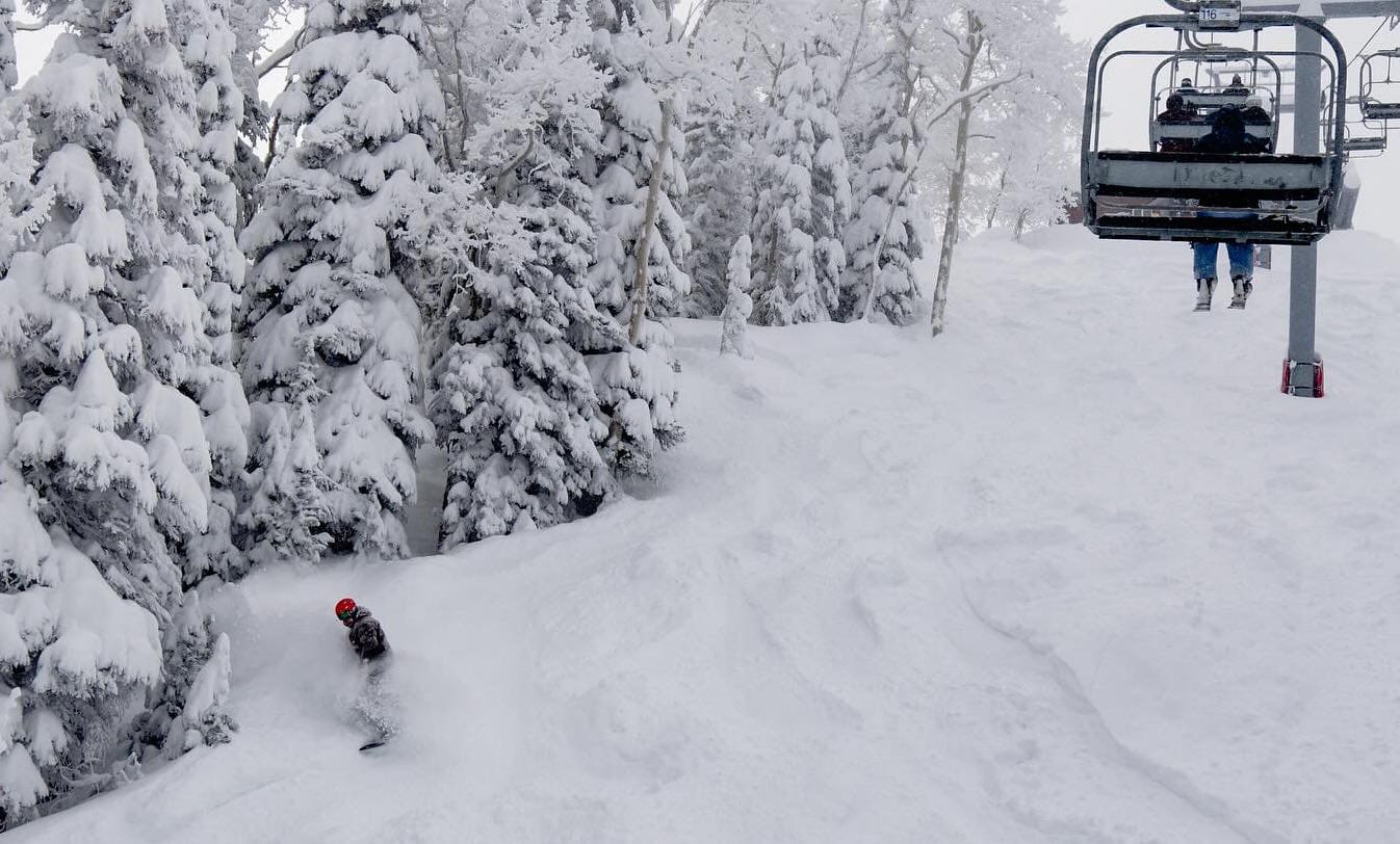
In Niseko the base has finally filled in off piste, the gates are open, and the Peak chair is also spinning. There has been 149cms in the past week, including 62cms on Sunday night which is apparently a record 24-hr snowfall for Niseko. That may sound surprising as 24-hour totals of 60+cm are not unusual for resorts in Central Honshu (and in North America) but in Hokkaido big 50+cms overnight falls are rare, the bigger storms dropping consistent snow over a few days with daily totals more like 20-30cms. Not that it matters, as the past week was pretty damned good with a run of sensational powder days before the weather cleared which saw temps climb on Saturday. It was also a good week in Furano with 96cms in the past week with Monday and yesterday the pick of the powder days.
For the resorts in Honshu it has been matter one day on, one day off but consistent falls are slowly building the base at lower elevations. There has been 85cms in Hakuba this week, including 35cms on Sunday night and a solid 50cms on the upper mountain on Friday night, our Hakuba snow reporter Mike Humphreys’ report yesterday being a concise, “get your powder boards. It is going to be deep.” It has been a good weekend after moderate to heavy falls on Friday a night and snow continuing throughout the day yesterday.
After 48cms on Monday Nozawa Onsen opened to the bottom for the first time this season. Another 40cms this weekend has has improved things off piste and today was bluebird and our Nozawa snow reporter Sam Mythen reckons it was the best day of the season. It is a similar story in Myoko with 68cms on Monday followed by small top-ups on Wednesday and Thursday before 35cms on Friday night and then another 50cms in the past 24 hours. Myoko still needs more snow before the trees and backcountry are in full swing, but given the forecast we shouldn’t have to wait too long.
Another storm is due tomorrow and, the Grasshopper reckons it’s going to be a big one, writing in this week’s forecast that “we should see heavy-very heavy snowfall with the front on Monday, with winds becoming very strong along with blizzard conditions, then heavy-moderate falls starting to back off during Tuesday.” No doubt the “Japow” and “Japanuary” clichés will be prominent on social media this coming week!
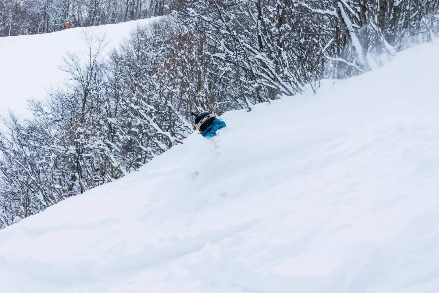
Europe
What a winter many parts of Alps are having with another storm and more snow last week with seven-day accumulations of over a metre reported in some regions. The storm dragged in cold air, snow falling down to valley floors and the snow quality was excellent with more pow turns on offer last weekend. In Austria snow totals were 30-40cms in Saalbach-Hinterglemn and Stubai Glacier but a bit less in the Arlberg, St Anton receiving 24cms last weekend.
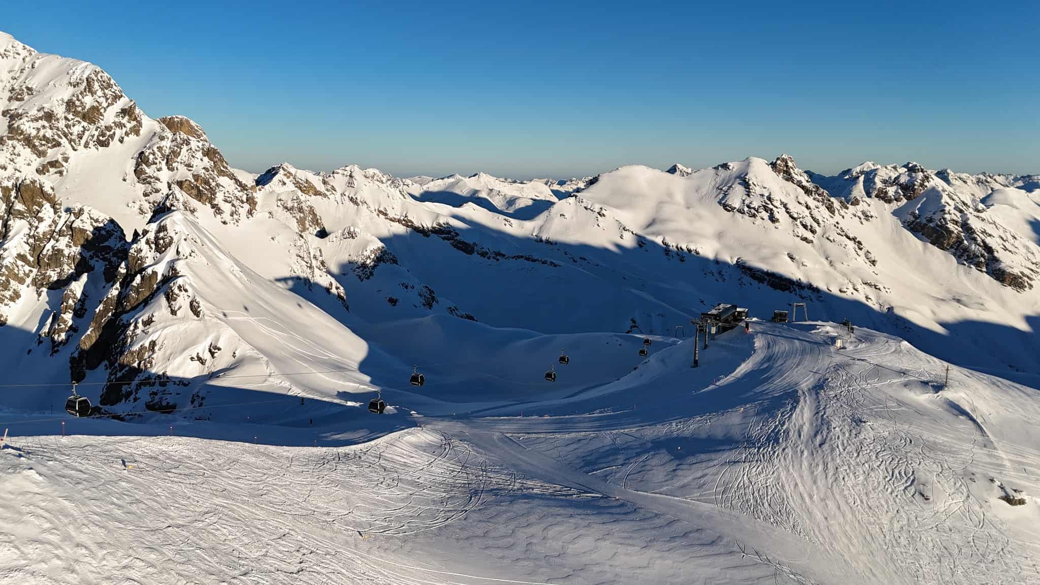
The French Alps enjoyed some good snow totals, Chamonix reporting 78cms from Jan 3-9 while Courmayeur received 55cms in the same period. There was also some much-needed snow across Italian resorts last weekend, Livigno and Cortina reporting 40cms last Sunday which turned out to be one of the best powder days of the year.
The past few days have been clear and cold across most of the Alps, but that pattern is set to change this week with a few snow showers developing on Sunday night ahead of a stronger system on Wednesday. The forecast is favouring resorts in the Western Alps, with potential for 40+cms in Verbier and Val D’Isere while St Anton should see 20cms. It looks like that system will be too far north for the Italian resorts with Livigno expecting 7cms next Thursday/Friday while in the Dolomites, Cortina will see a few light snow showers and totals of around 5cms.
Where We’d Like to Be This Week
Jackson Hole. One of our favourite destinations but haven’t been there since pre-covid and given the forecast, it will be a very good week.


