
World Snow Wrap – Massive Snow Totals In the US and Europe
Huge Snow totals in California and Utah, a mixed bag in Japan and Canada and a good couple of weeks in Europe.
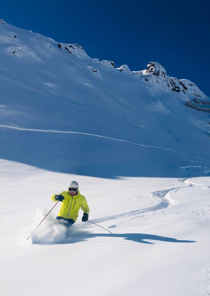
Mountainwatch | Reggae Elliss
USA
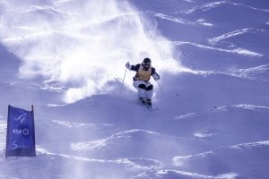
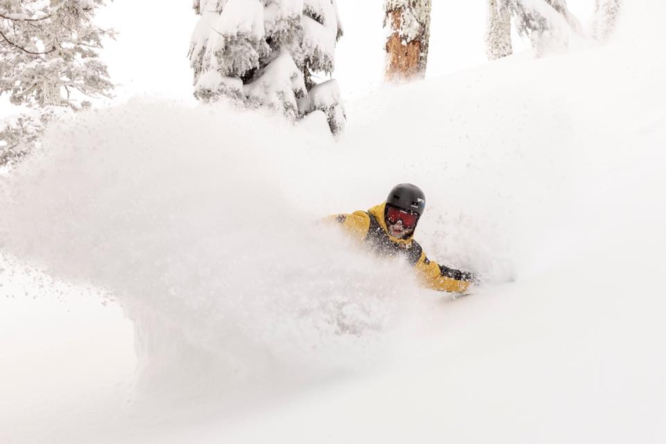
After a week of fine, spring-like weather, the snow returned to Californian with a big bang last week, two storms in five days dropping metres of snow across the Sierras. The resorts around Lake Tahoe reported some huge snow totals with Homewood topping the count with 2.5metres, Kirkwood had 2.4metres and Squaw Valley 2.2metres. Mammoth Mountain also scored big time with 3.35 metres (11 feet) at the Summit.
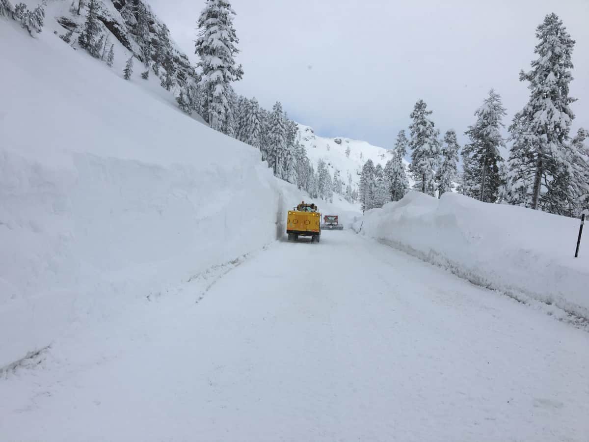
Not surprisingly, the conditions were some of the best of the winter, with Tuesday and Wednesday the stand-out days. That was the story across many US resorts as the storms tracked inland with resorts in Utah reporting two metres in 72 hours. Jackson Hole also turned on with a metre of dry snow in three days and there was also 60-100cms in Colorado. It has been a good week, cold temps ensured quality snow and there were many reports of cold, blower pow across the western states. After a couple of days of sunshine, the snow returns to the Pacific Northwest and California tomorrow with two storms tracking through the Cascades and Sierras. Another 1.5 metres snow is forecast for both regions by Monday. That system will move eastward, dropping snow across Utah on Saturday, Idaho and the Tetons on Sunday while Colorado should see decent snowfalls on Monday.
Canada
After some decent snowfalls last week, resorts in British Columbia and Alberta had some light snowfalls early this week. Whistler had good falls on Feb 1-2 for a seven-day total of 61cms, and the last few days have been fine and sunny with temps down at -15. Those snowfalls also moved over interior BC setting up perfect conditions for the FWT world tour event in Kicking Horse which was held on Tuesday. Revelstoke received 30cms out of the storm while Fernie also had fresh snow, but it has been cold since, the resort issuing this update on the morning of Feb. 4: “For the safety of our guests & staff, there will be a delay loading the lifts this morning due to extreme cold temperatures.”
Lake Louise and the Banff resorts reported 35cms last week, followed by a few days of extremely low temps with limited lifts open on Feb 3, but temps have climbed, today’s max a balmy -15! Don’t laugh – looking at the forecast that is balmy, the max temp for Saturday expected to be a chilly -24!!
Unfortunately, the storms due in the US this weekend will miss Canada with just a few light snow showers in the short-term forecast. Cold and mainly clear weather looks likely for the next week in both Alberta and BC, Whistler in line for max temps around-11 across the weekend.
Japan
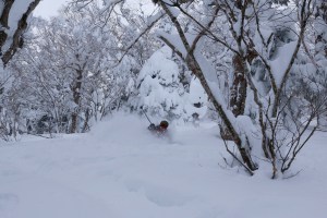
There were some relatively warms temps across Japan last week and even some rain for Hakuba and Myoko, but as the Grasshopper said in his Japan forecast yesterday, it was just a “mid-season blip”. Prior to that warm 48 hours there had been plenty of deep, light powder across the resorts in both Honshu and Hokkaido with daily falls of 30 and 40cms on Feb 1 and 2. However the snow was accompanied by some very strong winds which saw lifts on wind-hold in Niseko, where a run to nearby Rusutsu was the order of the day.
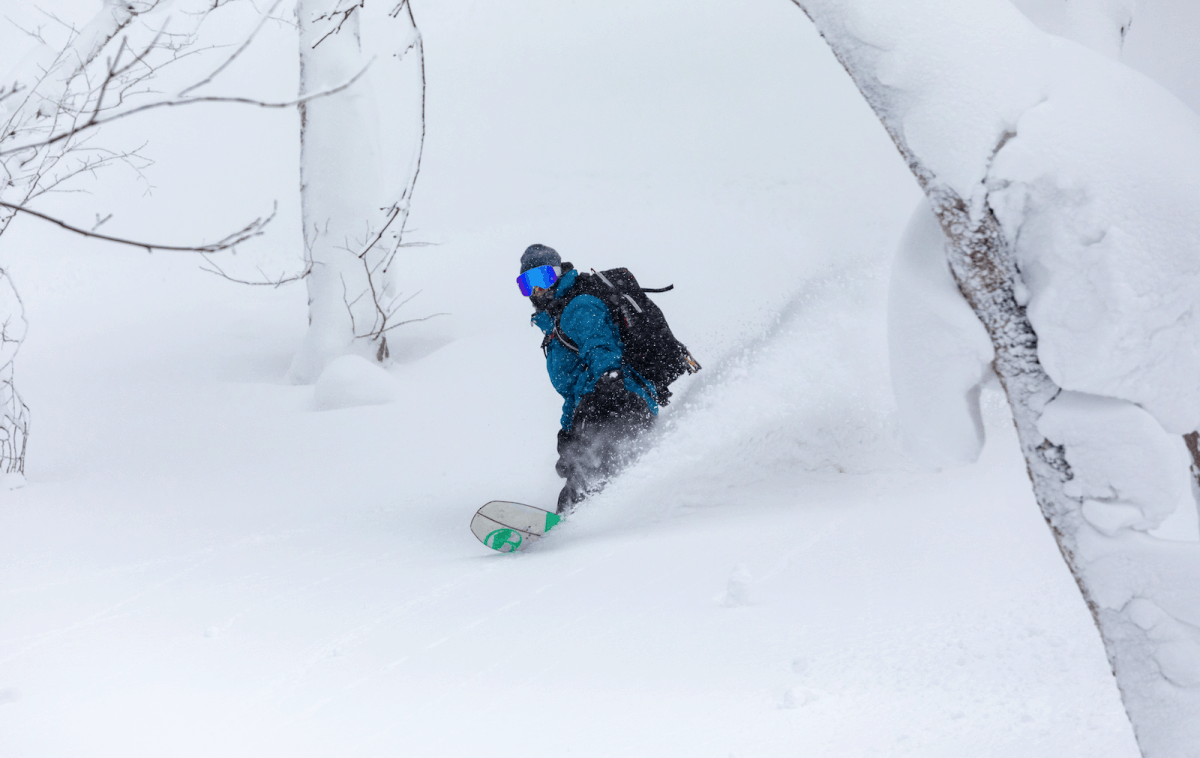
The good news is the cold temps and snow have returned and although there are no big storms on the horizon, consistent snowfalls should see fresh snow daily for the next week. It was cold today, Matt Wiseman reporting 18cms overnight in Niseko but “with wind-chill factor down to -23 and forecast to get as low as -30! In fact, it’s set to be the coldest day of the year.” I suppose you’ll just have to hook into the powder to warm up.
Europe
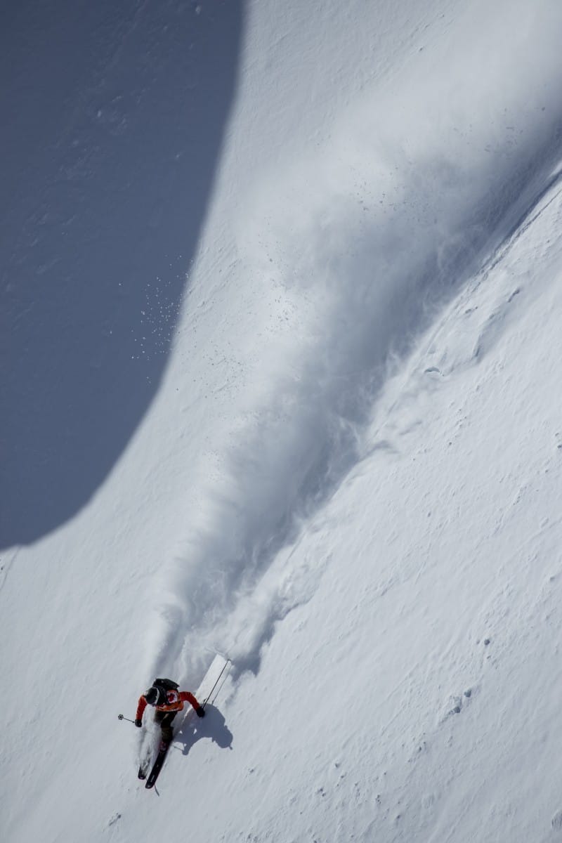
After a quiet period that followed the non-stop snowfalls in Austria in early January the snow returned over the past week with good falls across the country. Last weekend saw significant falls with the Hintertux glacier reporting 90cms. France, however saw some really big falls last with 7-day totals hitting the two-metre mark.
It was a similar story in Italy with reports of two metre-plus snowfalls in the Dolomites and also in the northwest Italian alps, a big turnaround after a very slow early season. Unfortunately, the huge snowfalls led to maximum avalanche danger which was tragically confirmed by eight avalanche fatalities in the Courmayeur region. After a few days of settled weather there may be some moderate falls across the Alps this weekend.
Where we’d like to be this week:
The Californian Sierras. Another 1.5 metres this weekend after the two to three metres last week. And in his extended forecast for North America, the Grasshopper is calling for more snow around Feb 14 with “another low, or set of lows, looking likely to track over the NW to wander farther inland from next Thursday through into the weekend.”