New Zealand Forecast – Fresh Powder for the School Holidays After a Wild Wintry Blast
Published early Monday, 28th September 2026
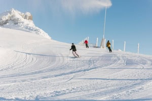
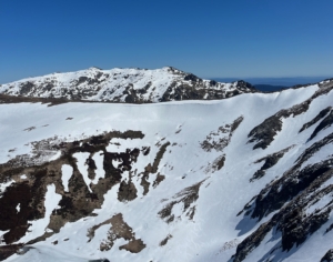
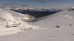
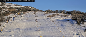
Winter came roaring back yesterday, Sunday, as an icy blast dumped snow to low levels across the country. Strong winds and blizzard conditions forced many ski fields to close while many roads across the South Island were affected. The storm delivered 15cm to Cardrona and The Remarkables, 25cm to Coronet Peak, 22cm to Mt Hutt and 20-25+cm to Mt Olympus. Mt Ruapehu also scored overnight, although totals are still to come in, with around 5-15cm expected.
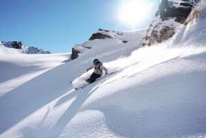
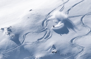
That fresh powder is perfectly timed for the school holidays, which are now underway. Treble Cone bowed out for the season yesterday, while Coronet Peak heads into its final week with a healthy layer of snow underboot.
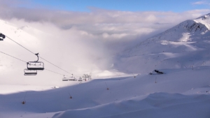
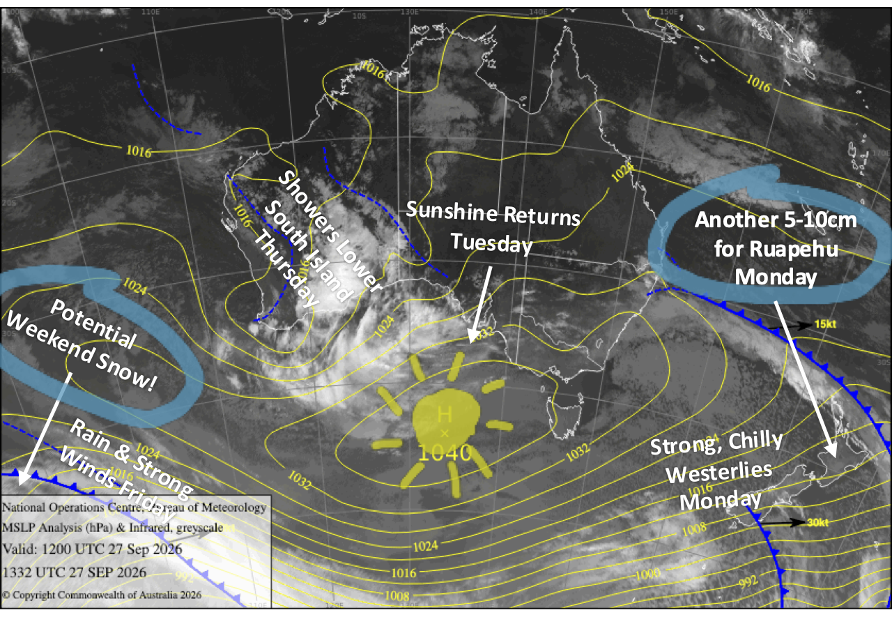
Strong, chilly winds could hamper lifts again today, Monday, although Mt Ruapehu should score another 5-10cm. Things come right on Tuesday as winds ease and skies clear, before a couple of mint spring days follow through Wednesday and Thursday. Northwesterlies then crank up on Friday as another front moves in, bringing rain to the Southern Lakes and potentially setting the stage for a little more snow over the weekend.
Monday 28th September
A fresh powder day across Kiwi ski fields after Sunday’s storm, although strong, chilly westerlies will still be whipping across the country and may hamper lift operations once again. Skies stay mostly cloudy over the Southern Lakes with a few lingering snow flurries, while Mt Ruapehu should score another handy 5-10cm as snow showers redevelop during the morning.
Canterbury will be the nicest of the bunch, with some morning high cloud giving way to a beaut sunny afternoon.
Tuesday 29th September
Conditions improve across the country as strong, cold southwesterlies gradually ease. Cloud clears the Southern Lakes for a mint afternoon, while Canterbury enjoys sunshine from start to finish.
Mt Ruapehu also comes right as lingering cloud and snow flurries gradually clear by late afternoon.
Wednesday 30th September
Winds swing northwest over the country and pick up over the Southern Lakes, although skies stay crystal clear and sunny.
Any cloud around Canterbury clears early for another mint day there too, while Mt Ruapehu will see a mix of sunshine and cloud, with cloud tending to hang around the lower slopes.
Thursday 1st October
West-to-northwest winds continue across the country and will be strong over the Southern Lakes, where skies turn mostly cloudy as a weak front moves onto the lower South Island, bringing the chance of a few rain showers.
Canterbury sees a fair amount of high cloud, while a few showers may spill into the Mackenzie area during the afternoon.
Mt Ruapehu will have its turn in the sun, with clear skies all day.
Friday 2nd October
Northwesterlies crank up over the South Island as another front moves onto the lower half, bringing strong, gusty winds and spreading rain across the Southern Lakes during the afternoon. Rain then pushes into the Mackenzie area overnight.
Canterbury otherwise stays fine beneath increasing high cloud, while Mt Ruapehu will be partly cloudy with the chance of a few light showers.
Extended Forecast
South Island ski fields could pick up another little powder top-up over the weekend of the 3rd and 4th of October as Friday’s front slowly creeps northwards and colder air sneaks in from the south. Models are still wrestling over how much snow will actually fall, and there’ll be a fair dose of rain beforehand, especially in Canterbury.
Beyond that, there’s not much snow showing on the forecast horizon. The South Island should dry out and settle into a mostly fine spell from Monday the 5th onwards as northwesterlies develop and gradually strengthen, potentially becoming strong later in the week. Mt Ruapehu looks less settled, with showery weather likely to hang around for much of the week.
That’s all from me today, folks. I’m sending out NZ forecasts every Monday, Wednesday and Friday throughout the season. Have a great couple of days, and I’ll see you back here on Wednesday.
Grasshopper