August Snow – Over 2m and Counting
Cars covered in snow at Buller. Image:: Mark Woodsford
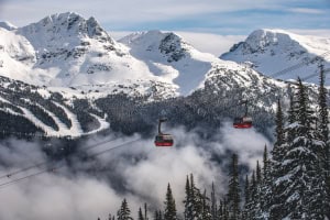
With four days left in the month, considerably more than 2m of new snow has fallen in the Australian snow resorts in August, making it the ‘snowiest’ August since 1992.
With Dry July a distant memory, the NSW and Victorian resorts are revelling in lashings of dry, light powder; in the 24 hours to 6am Thursday Falls Creek received 54cm, Hotham 47cm, Selwyn Snowfields 46cm and Thredbo 40cm, which is just top coat on the more than 1m that has fallen in most of the resorts in the past seven days.

“I’ve never seen an August like this,” says Falls Creek General Manager Michael Callahan “This has been an amazing snow storm”.
Mt Buller ski patroller Andy Laidlaw said that current conditions equaled some of the best he has ever skied on the mountain. “The snow out there today is just amazing, and with the temperature sitting on minus five that means sensational powder conditions. I’ve been on Mt Buller for 30 years and this is the best quality and driest powder snow I have seen here. What a day!”
“The snow storm that dumped half a metre of snow across the Australian Alps on Wednesday the 25th of August was driven by a deep low pressure system in the Southern Ocean, centred about 900 kilometres south of Tasmania,” explains Mountainwatch.com’s alpine meteorologist Aaron Cook. “Strong winds rotating clockwise around this system carried large amounts of cold moist air across Victoria and southern NSW, resulting in widespread showers that fell as snow over the alps.
“Embedded in this flow was a cold front that crossed the resorts yesterday evening and this forced large amounts of that cold moist air to rise even faster, where it expands and cools, forcing even more precipitation to be squeezed out. This effect is compounded by the alps themselves, which add additional lift as the air rises to flow over them, resulting in heavy snow,” Cook says.
Awesome August kicked off on 2 August with a huge snow fall that dumped over 1m of snow on Thredbo in 48 hours and deposited plenty of centimetres across the other resorts as well. Since then there have been plenty of snowfall days and cold temps, keeping the snow cover dry.
The Snowy Hydro snow depth measurement at Spencer’s Creek – the official snow depth used by the NSW snow resorts – was at 118.1cm last Thursday 19 August, with almost that amount of snow falling in just seven days in the resorts, the measurement, which will be taken again today 26 August, will be interesting to see!
The snow is expected to continue for the next two days, with between 26cm and 36cm forecast for NSW and between 12cm and 25cm forecast for Victoria by Saturday morning; the outlook for spring skiing is very positive.
Check up on the snow with the snow cams, forecasts and snow reports and make sure you’re always ahead of the snowfall with the SNOW iPhone app & mobi site and SNOW widget for desktops and websites
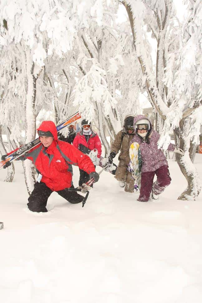
Matt Buder, Catherine Gawrysiuk, Brooke Prince, Bryn Lloyd and Mel Swann heading out for first tracks through knee deep snow in Buller. Image:: Mark Woodsford
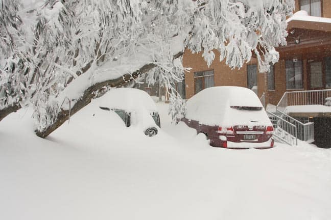
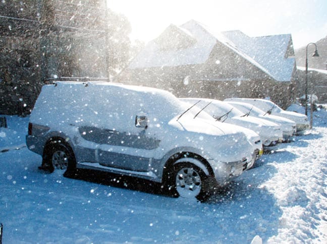
Cars at Hotham were buried this morning (26 August). Image:: Hotham
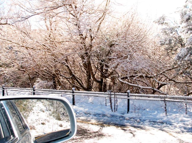
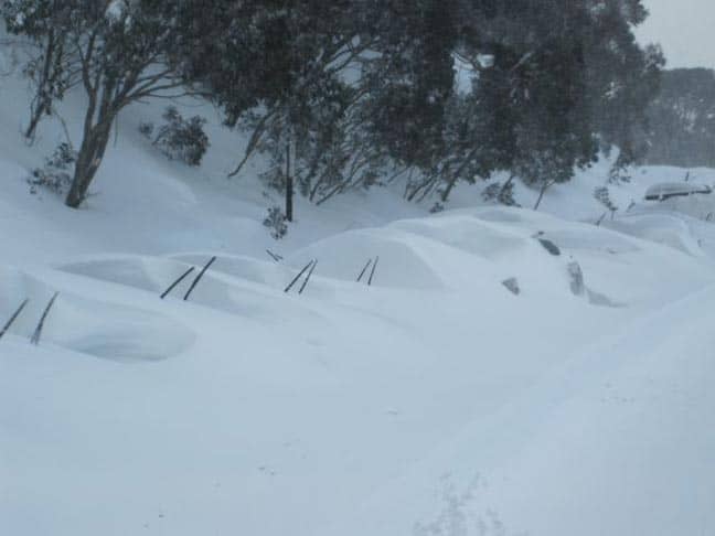
The snow road to Thredbo. Image:: Andrew Fawcett
Snow showers and sunshine in Thredbo. Image:: Andrew Fawcett
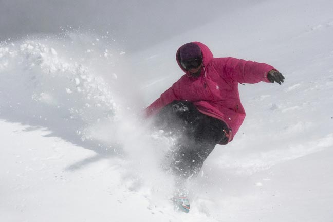
Bryce Hodges. Image:: Andrew Fawcett
Thredbo forecasts,
snow reports and
live snow cams.