Australian Forecast, June 8 – Cold SW Winds, Snow Flurries & Deep Powder
Mountainwatch | The Grasshopper
Valid Wednesday 8thJune – Friday 10thJune
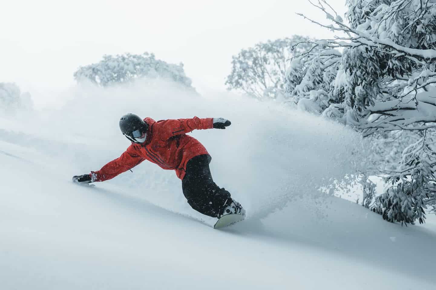
Phew, here I am folks, finally out of hibernation. I had to dig a long way up through the snow this morning. There hasn’t been this much snow at the start of a season in over two decades I reckon. Those two storms really came up with the goods, pumping out over a metre of snow since May 30th, and now most resorts are in business and reporting snow depths of 0.5-1m. It’s just what we need after a couple of tough years.
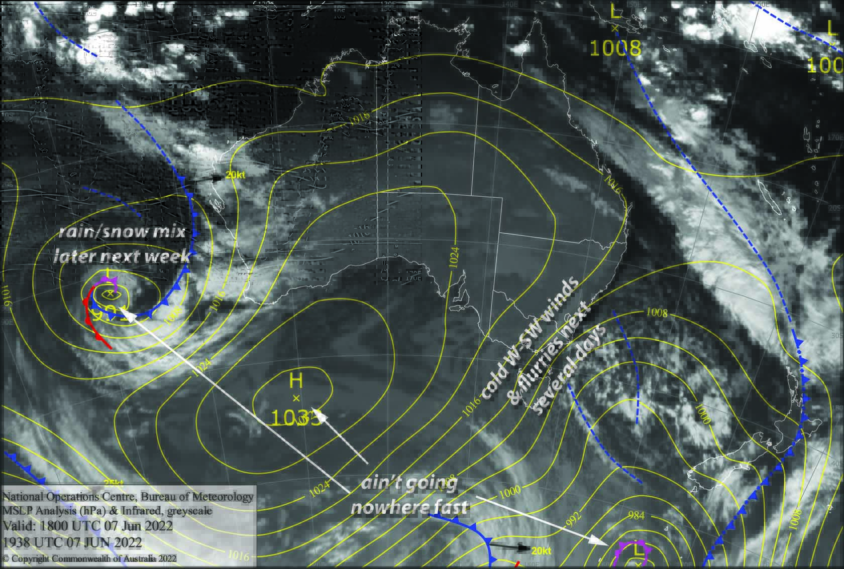
Fortunately, cold southwesterlies and light snow flurries will continue for the next several days, thanks to a gnarly area of low pressure in the Southern Ocean that just keeps on keeping on. The mercury will struggle to reach positive values, and the “feels like” temperatures will be well into the negatives, allowing snow guns to keep pumping out the fluffy stuff.
Wednesday 8th
Fresh powder day, but rug up warm because chilly W-SW winds are pushing in cloud and light snow flurries all day, with low visibility at times.
Thursday 9th
W-SW winds will be a bit stronger today, pushing in more persistent snow flurries and cloud, with low visibility still an issue at times. Freezing levels creep up to around 1500m, so those snow flurries will look more like drizzle at elevations below that later in the afternoon.
Friday 10th
Strong W-SW winds continue to push in cloud and light snow flurries, although freezing levels will mostly bounce around between 1400-1600m, so it’ll be drizzle down lower. Visibility is again likely to be limited at times.
Extended Forecast
A fresh wave of cold polar air washes over the Aussie Alps this long weekend as that never-ending low pressure over the Southern Ocean drifts north over the Kiwis.
Light snow flurries on Saturday will turn into more persistent snowfall briefly during Sunday, thanks to a cold front embedded in the strong SW flow which licks the Aussie Alps – it’ll only be a few centimetres at most, but will freshen up the slopes nicely.
Conditions will ease and fine up during Monday as we finally see high pressure push in from the west.
After the ridge has passed, a mix of rain and snow is looking likely through the back half of next week.
That’s all from me today folks, get out there and make the most of these great conditions. I’m sending out these forecasts every Monday, Wednesday and Friday.
Grasshopper


