Australian “Opening Weekend” Forecast – Ditto Days as Cold SW Winds Continue to Blow
Mountainwatch | The Grasshopper
Valid Friday 10thJune to Sunday 12thJune
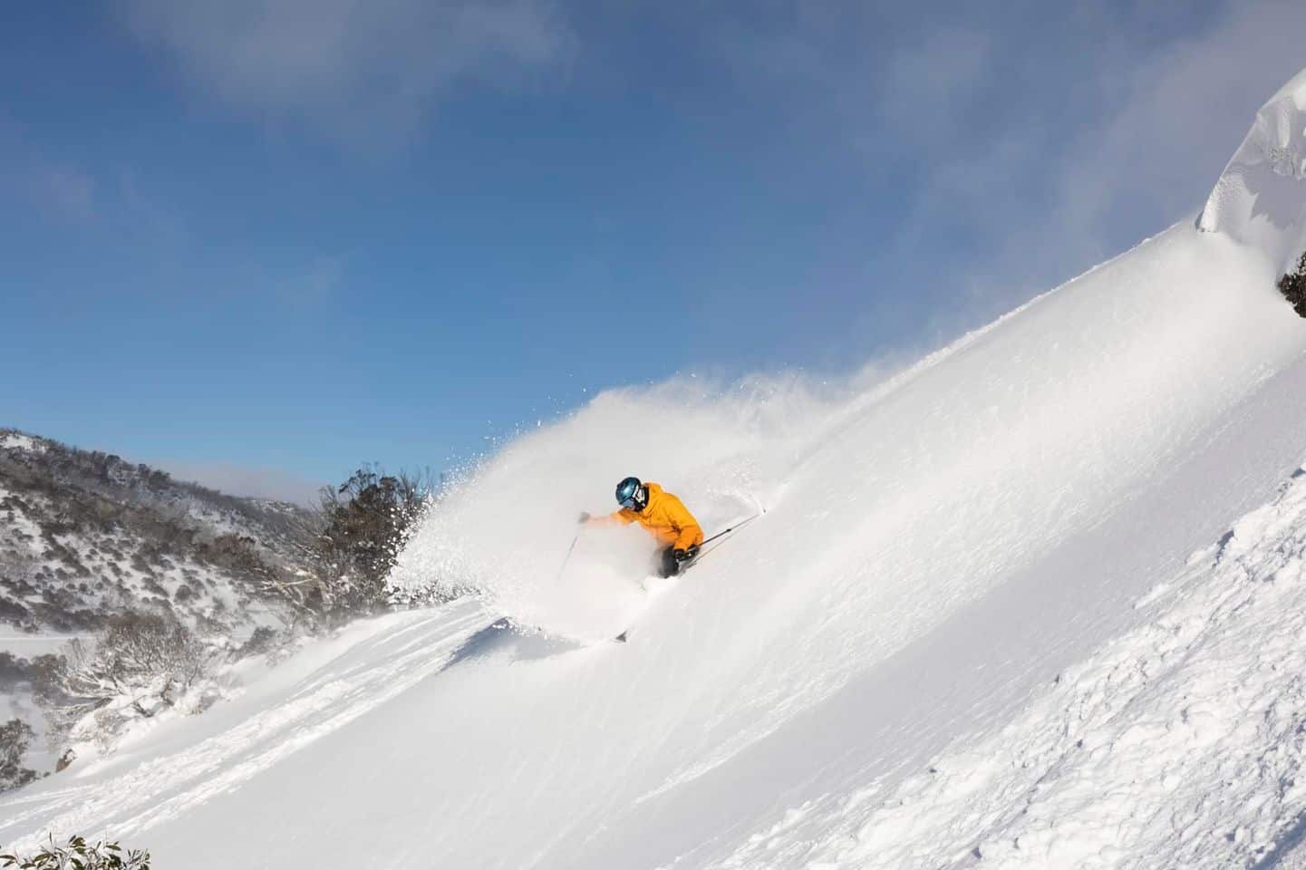
In case you missed me on Wednesday, I’m finally out of hibernation and back on the slopes, bringing you as much weather insights as you can handle. It’s Queens Birthday weekend and the “official” opening weekend, but as we haven’t seen this much snow at the start of a season in over two decades, most resorts unsurprisingly opened a week early. Those two recent storms really came up with the goods, pumping out over a metre of snow since May 30th, and now most resorts reporting snow depths of 0.5-1m. It’s just what we need after a couple of tough years.
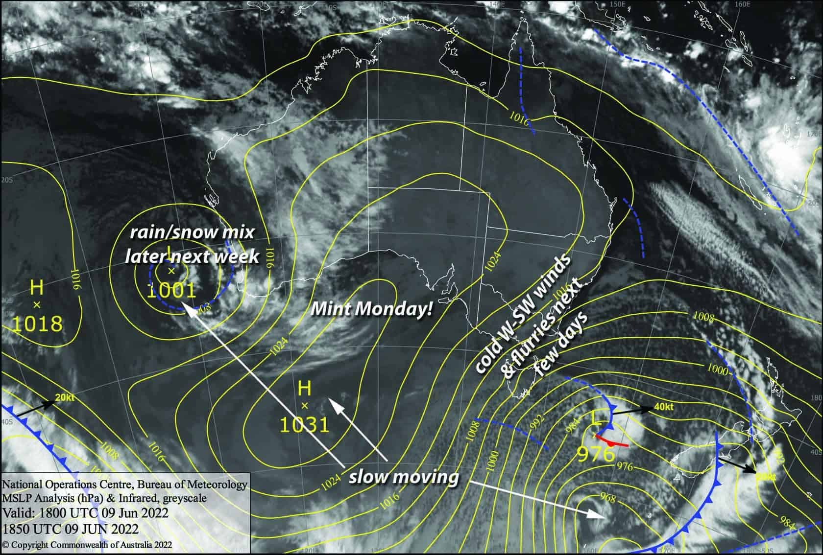
The weather in the Aussie Alps is in a holding pattern as that monstrous low south of New Zealand continues to churn away without moving very far. So we’re in for a few ditto days as a strong and cold southwest flow continues to push in cloud and light snow flurries. The mercury will struggle to reach positive values and the “feels like” temperatures will be well into the negatives, allowing snow guns to keep pumping out the fluffy stuff.
Friday 10th
Strong W-SW winds continue to push in cloud and super light snow flurries, although freezing levels will bounce around between 1400-1600m, so it’ll be that kind of misty drizzle at lower elevations. Visibility will be limited at times as you will literally be skiing through cloud.
Saturday 11th
Slightly colder and stronger W-SW winds today, which will again see us skiing in cloud at times with light snow flurries and limited visibility. Wrap up warm!
Sunday 12th
Another ditto day as cold and strong SW winds continue to blow. We’ll be skiing in cloud a lot of the time with limited visibility, although snow flurries will be slightly more persistent than previous days.
Extended Forecast
Winds will finally ease and the cloud will clear during Monday as we finally see high pressure push in from the west, making for grade-A skiing conditions.
NW winds will pick up Tuesday, then a mix of rain and snow is looking likely Wednesday through next Friday as a couple of weak weather systems pass over us. At this stage a ridge is likely next Saturday.
That’s all from me today folks, get out there and make the most of these great conditions. I’m sending out these forecasts every Monday, Wednesday and Friday.
Grasshopper


