Weekly North American Forecast – Massive in the Sierras, Big in the Central Rockies, Relatively Quiet & Sunny up North
Mountainwatch | The Grasshopper
Written Thursday 29thDecember (Pacific Standard Time)
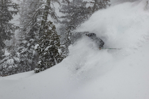
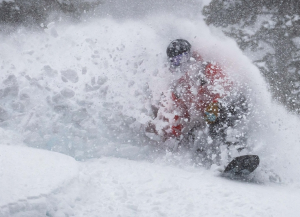
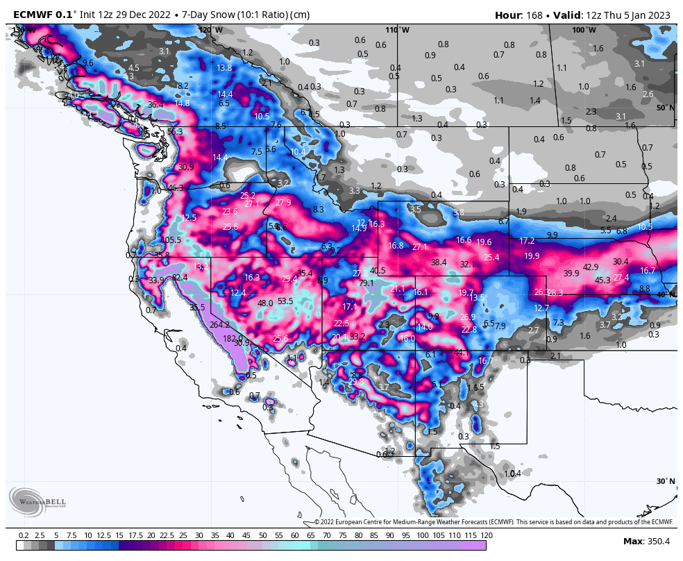
It’s going to be a massive week for the Sierras as the active storm cycle looks to continue, which will favour the central and southern States this time. Utah and Colorado will go big too, and resorts in Arizona and New Mexico will receive a much-needed boost. However, temps will be relatively mild at times, especially on Friday and early Saturday, where rain could affect those lower slopes along the Pacific Crest.
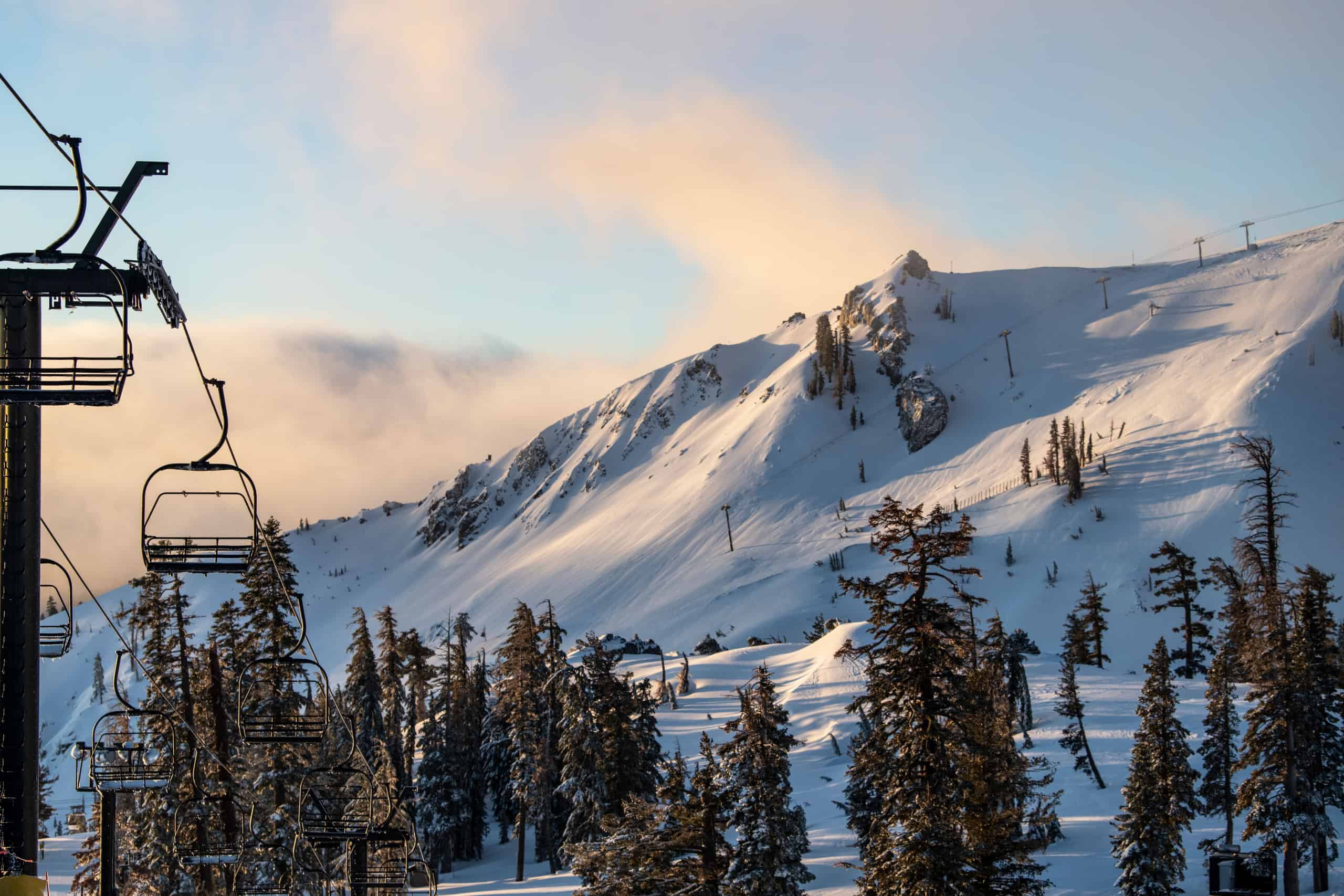
While the north will be quieter in comparison, resorts up there will welcome in the New Year with a few days of sunshine and a healthy snowpack underfoot.
Thursday 29th& Friday 30thDec
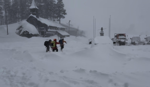
The early hours of Thursday have seen a storm front bring heavy snowfall to the Sierra’s and Pacific NW. The front is now approaching the Rockies, where mostly light snowfall is expected.
Without a moment to lose, the next storm front will roll off the Pacific later today, bringing another round of heavy snowfall to the Pacific Crest before making its way over the Rockies early Friday. Temperatures will this system will be mild, however, so we’ll see rain at lower altitudes along the Pacific Crest.
Very heavy snowfall will persist in the Sierras through the rest of Friday, as do moderate-heavy falls through the central Rockies as the front stalls over the area.
Saturday Dec 31st & Sunday Jan 1st
Very heavy snowfall will continue in the Sierra’s during Saturday with heavy falls also persisting in the central Rockies, as the front remains slow moving and a low develops over the south. The Sierras will eventually clear early Sunday as the storm remains over the central Rockies and spreads to the southern Rockies
Lighter falls further north should peter out for some sunshine for the New Year’s weekend.
Monday Jan 2nd to Wednesday Jan 4th
Snowfalls will gradually abate over central and southern Rockies during Monday as the low rages off to the east.
The next front will roll over the Pacific Crest during the second half of Monday, however snowfalls will be rather light and brief in comparison to the previous storm. The front will then bring light scattered falls over the Rockies during Tuesday, with the south perhaps getting the best of it.
A deep low will flirt with the coast during Wednesday, while pushing a moisture laden S-SW flow over the North American west, with…. surprise, surprise… more very heavy snowfall for the Sierra’s. Moderate to heavy falls will also spread elsewhere in what will be a whopping west-wide storm.
Next Thursday Jan 5th & Beyond
The active storm cycle is expected to continue into the following week, as storms continue to roll off the Pacific. The Pacific Crest is likely to go massive again, especially the Sierra’s. The central and northern States are likely do well too, while resorts in Alberta and the southern States are likely to pick up average snowfall compared to their usual.
Well, that’s all from me this week guys. Have a great New Year’s, get amongst the powder or sunshine wherever you are, and I’ll see you next week.