Where the Cold Smoke Never Ends – Japan Snow Wrap
Local Hakuba Photographer, Mark Tsukasov, has lived in Hakuba each winter for many years; I think I heard him say “Best Day Ever” about five times last week. Robert Stoeckel, Hakuba. Image:: Mark Tsukasov
Mountainwatch | Japan Snow Wrap
As we near closer to the Christmas break it’s powder, powder and more powder across both Honshu and Hokkaido. As it usually is at this time of year, the snow has been relentless. Social media feeds are clogged with epic powder shots and the hotels on the ground are in overdrive preparing for the usual christmas onslaught.
All this new snow means that plenty more terrain will soon be on offer. Remember to play safe out there and always heed the warnings of ski patrol and the local avalanche advisory. Those on the ground reported plenty of avy bomb activity in Niseko this morning, so it’s clear the resorts are aware of some potential for instability. Read on for more info, and scroll down for our pick of the best early season shots from the land of pow…
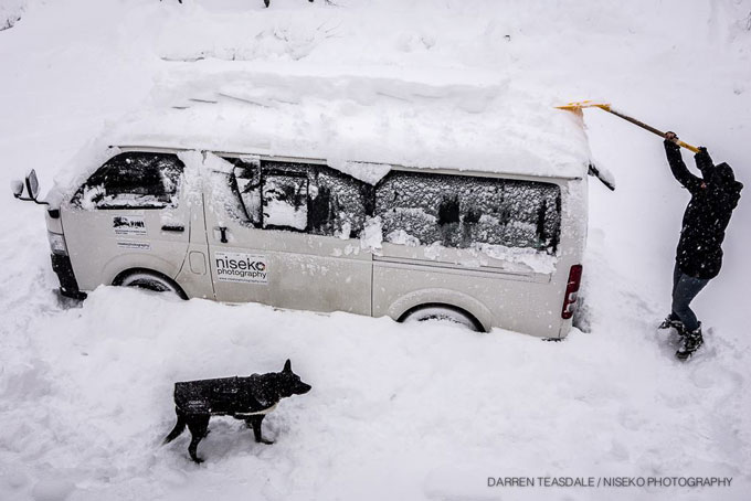
“One of these days I’ll buy a snow blower”… Image:: Niseko Photography
Today on the hill
Niseko
It was yet another awesome day today on the hill, even if the mercury stayed way down in negative double digits all day long. 25cm of new snow fell last night, and more is on the way. The winds were a slight problem up high today, but this is expected to clear over the next 24 hours.
Hakuba
5cm of new snow fell in the valley overnight, with about 30cm up top. This brings the base to around about 2.5m – strong for this time of year. Visibility seemed like a problem up there today, but as the weather clears up overnight tomorrow should be unreal. Most resorts in the valley have the majority of their terrain open. With more expected to open at the smaller resorts as this storm snow settles.
In The Forecast
Hakuba:
Cool temperatures and light winds accompanied by about 5-10cm of snow is expected until Friday night. The skies should clear on Saturday with chance of a decent sunny break. This slight warming trend may be accompanied by a little rain below mid-mountain. Keep an eye on this one.
Niseko:
Steady top-ups of snow is expected until the 26th, when the weather will dry up slightly. We expect 10-20cm each day until then. Winds look fairly consistent at around 30km/h from the NW right up until Saturday evening when temperatures warm ever so slightly. Not enough to be of any concern, however.
Words fail us… Image:: SkiJapan.com
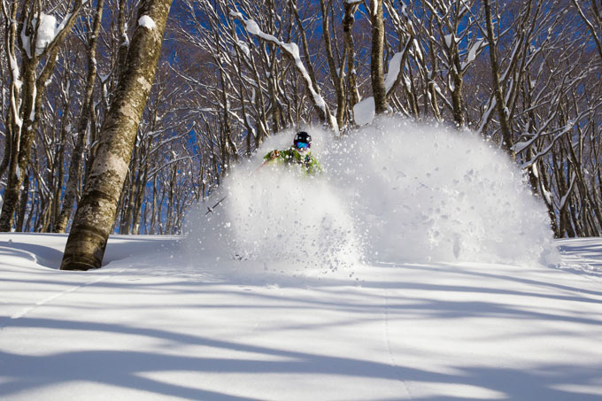
These kind of faceshots have been a much-traded commodity in Japan this past week Image:: SkiJapan.com
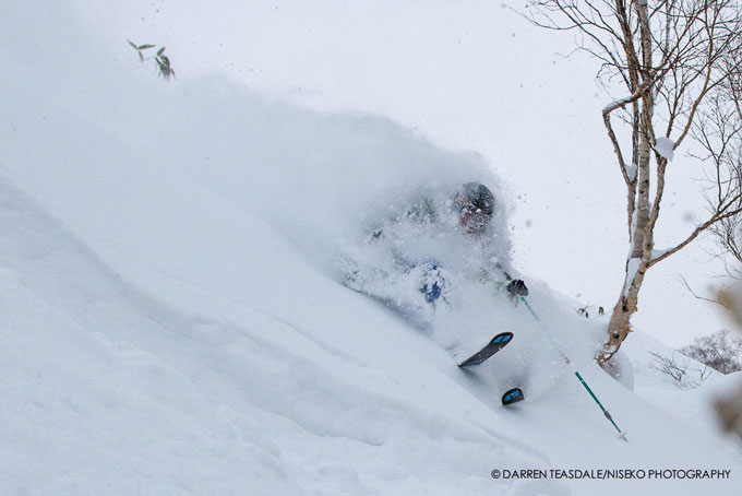
The vis may not be great but the snow sure is Image:: Niseko Photography
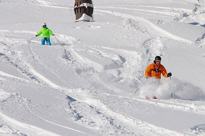
“Wait up, Dad!” Image:: Happo One
Hakuba forecasts,
snow reports and
live snow cams.
Niseko forecasts,
snow reports and
live snow cams.


