World Snow Wrap, January 5 – Deep Powder days in Japan and the US, Small top-ups in Canada, Dry Spell Continues in The Alps
Mountainwatch | Reggae Elliss
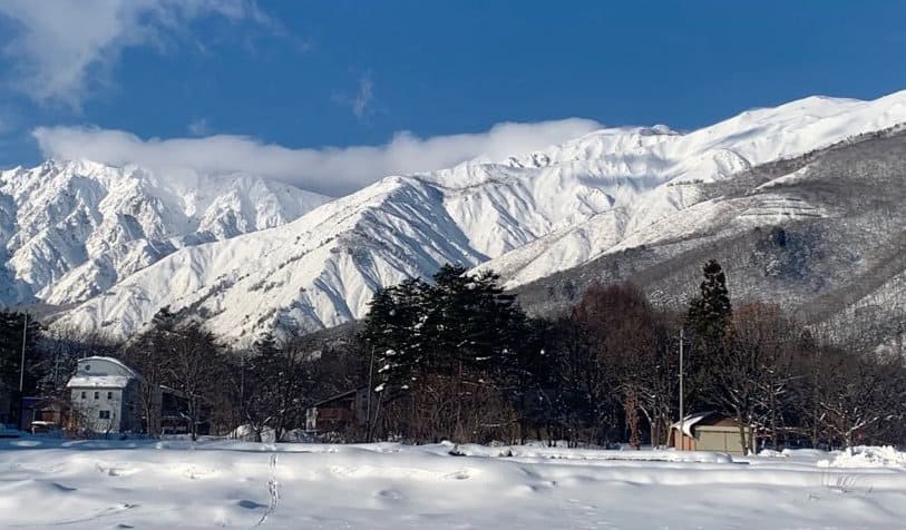
I know, we usually publish the World Snow Wraps fortnightly during the Northern Hemi season, and if you noticed we missed one last week it was delayed as I was travelling to Hakuba, where I just had a fun morning after another 20cms of fresh overnight.
The has been of consistent fresh snow across Japan the past week and it’s not only Japan, but also in parts of the US where it has been dumping. Canada hasn’t seen the snow that the Sierras and Rockies have copped in the US but has had a few falls while in Europe it has been a poor early winter with mild temps, minimal snow and rain at lower elevations over the past two weeks. Read on for all the details.
Japan
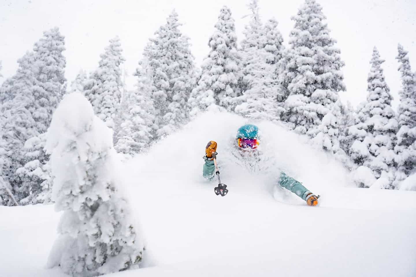
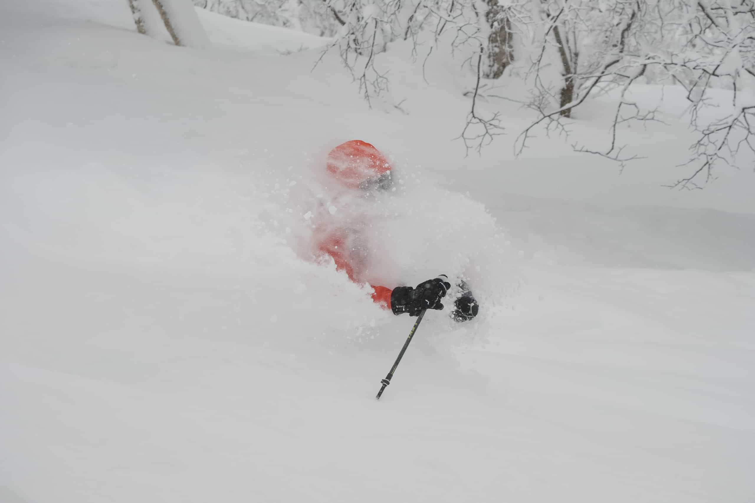
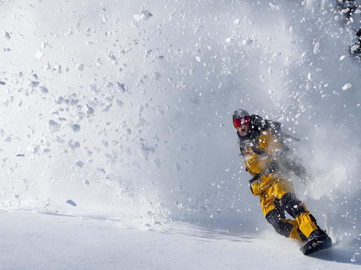
Well, as the Grasshopper forecast, early season conditions have been excellent in Japan with consistent and solid snowfalls across resorts in both Hokkaido and Honshu over the past few weeks. This week has been particularly active and our snow reporters in Hakuba, Niseko and Myoko have been waxing lyrical about the back-to-back powder days. The snow totals are impressive with Niseko receiving 100cm at the base over the last six days with 180cms at upper elevations. In Myoko, which didn’t see much snow in December, this week’s storm has dropped 140cms at base level since Jan 2nd! It’s been cold too, so those lucky enough to be celebrating the start of the new year in Japan have been riding dry, blower powder.
Snowfalls have eased across Honshu today with a few snow showers today but another 20cm is expected in Myoko on the weekend while Hakuba should see 30cms at mid-mountain levels by Tuesday. Resorts on Hokkaido will see grey days with light snowfalls but much colder temps, the current forecast for Niseko having overnight temps as low as -18 on Saturday night.
USA
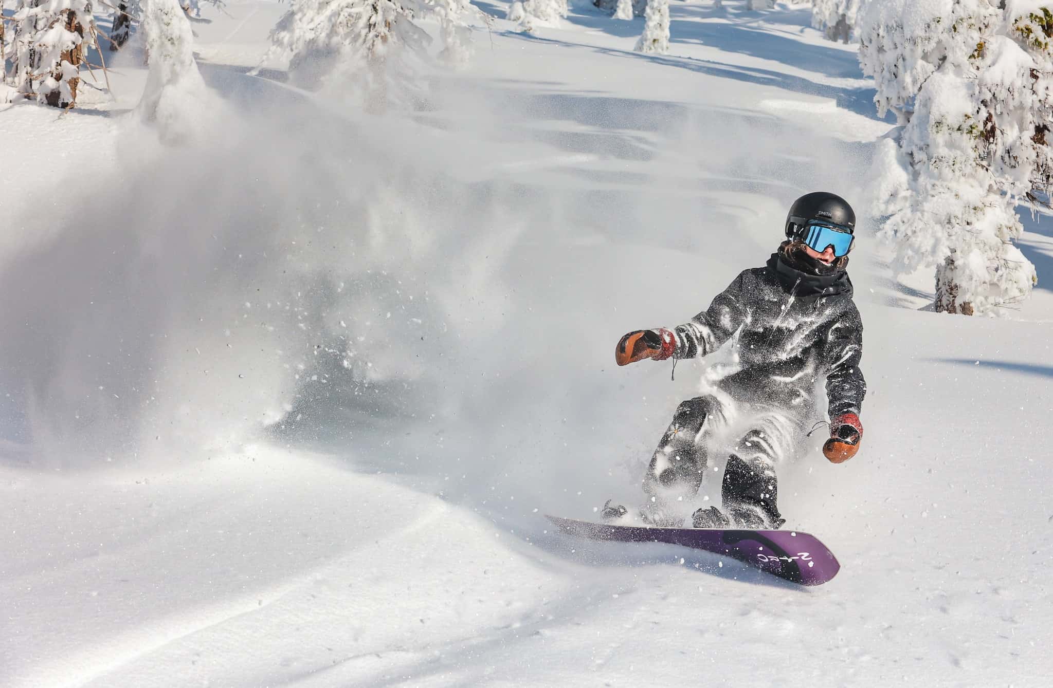
While Japan has been cooking, storms have also been consistent in parts of the US, resorts in in the Central to Northern Rockies reporting solid snow totals over the past two weeks. The snow has been high quality turning on some epic days in Utah, the Tetons and parts of Colorado. The most recent storm dropped 93cms in three days in Snowbird and Alta which were closed on New Year’s Day, “Due to extreme conditions and avalanche activity brought on by this weekend’s storm.” When they reopened yesterday, conditions were epic. The latest storm ads to a huge 4.14metre December snow total for Alta, the snowiest December in almost 40 years.
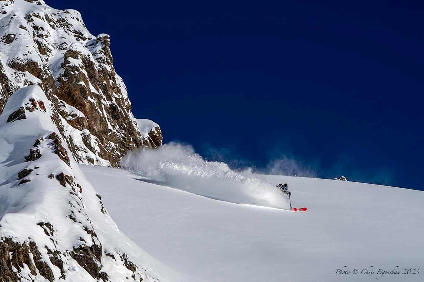
It is a similar story in California’s Sierra Range which also saw a series of big December storms (Palisades Tahoe received 3.17m ) and then had another strong storm to kick in the New Year. This this storm was warmer, the classic “Pineapple Express” carrying warm air straight from Hawaii, with consistent and heavy rain at first before the temps dropped and the snow puked. Palisades Tahoe received 82cms in 24 hours while further south Mammoth Mountain received 152cms in five days.
The storm created a lot of work for mountain operations with intensive de-icing and avalanche mitigation ahead of a couple of good powder days earlier this week. After a short break yesterday, another storm has hit the Sierras with strong winds and blizzard conditions today. Snow showers will continue over the weekend ahead of another string system next Monday Tuesday, the Tahoe resorts set for nearly two metres in six days while the latest seven-day forecast has 175cms for Mammoth.
Canada
While most of the action has been south of the border, our Canadian friends have had a slow start to the year, although things picked up last week when there were a couple of good snowfalls for many BC resorts. Whistler Blackcomb is leading the December snow total count with 230cms while Fernie’s December total was 223cms.
It has been quieter further to the east, Big White on 96cms while the December total for Kicking Horse is an unusually low 59cms. 2022 went out on a good note with some good refills on last Thursday/Friday for a number of interior BC resorts.
Since then it has been pretty quiet, with a few weaker storms over the past couple of days. The forecast for the next week favours the Coast Mountains, Whistler Blackcomb set to receive 41cms over the next three days while further inland the forecast for Revelstoke is 15cm across the weekend.
In Alberta the last weekend of December not only delivered respite from the freezing temps leading into Christmas, but also some much-needed snow. It wasn’t a lot with three-day totals of 12cms for Lake Louise, 16cms at Marmot and 21cms for Sunshine. It has been dry start to the New Year for the Banff resorts and that is set to continue with just a few light snow showers in the forecast for the next week.
Europe
The ordinary start to the winter in the European Alps has continued over the past couple of weeks with mild weather and rain at lower elevations with some snow above 2000m. While the cover is thin (or non-existent) at lower elevations the higher resorts in France, Austria and Switzerland are offering good on-piste conditions but and fresh turns have been few and far between.
Resorts in Italy’s Dolomites are faring OK after early season snowfalls, but once again it’s all about carving on the groomed runs. Fortunately, temps are cooler and a front next week should drop widespread snowfalls in the western Alps with 35cms forecast for Verbier next Monday/Tuesday and Val d ‘Isere is in line for 45-50cms early next week
Where We would Like to Be Next Week
Myoko. It has received a heap of snow the past few days, filling in most of the terrain and another 20+cms is due over the weekend.


