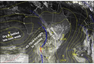
Australian Forecast – Monday Snow turns a little Damp, Not Bad for the Rest of the Week
Published early Monday, 9th June 2025
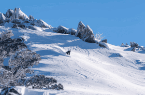
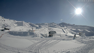
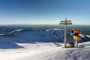
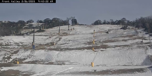
Aussie resorts scored a timely dump of snow during the season’s Opening Weekend, allowing a good amount of terrain to open up to freshen the legs. The storm hit on Friday night, and by Sunday morning, resorts were reporting 25-55 cm, with still plenty to come. Latest numbers haven’t been reported yet, but Reggae and the crew will have them out for you shortly after this goes live.
Snow will continue to fall this Monday morning, and it’ll be high-quality. However, temperatures will steadily climb throughout the day, making it denser and damper, particularly at lower levels.
The weather will be pretty good for the rest of the week, barring the odd light snow flurry, as winds from the south gradually ease before turning northwards on the weekend.
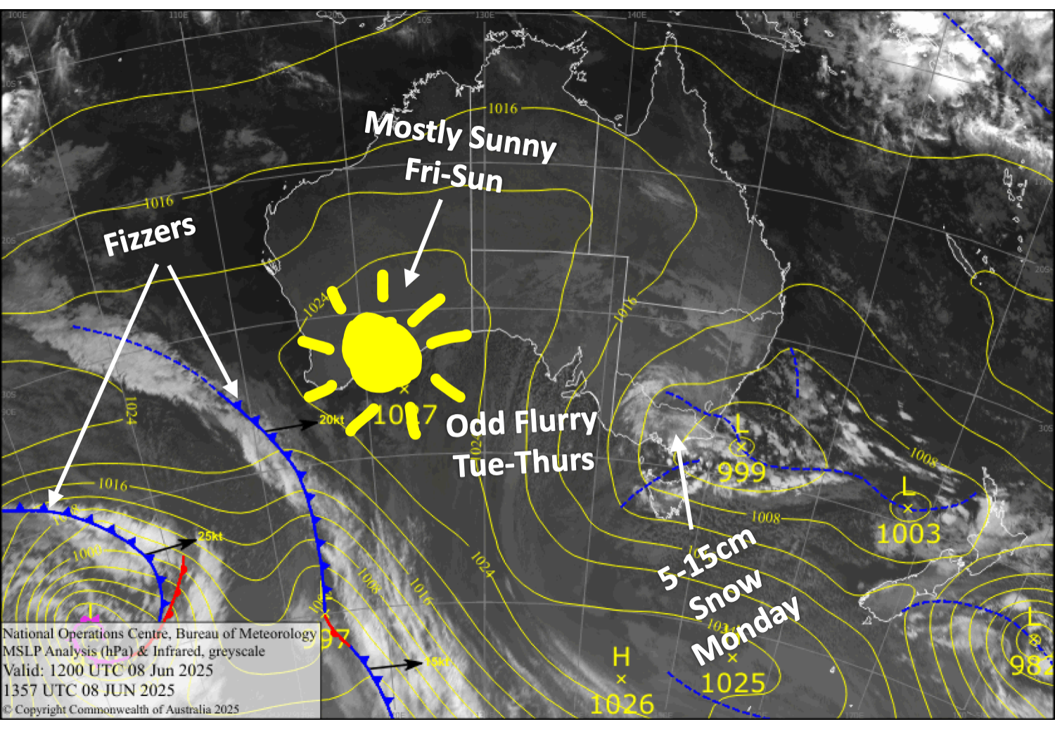
Monday 9th June
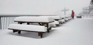
Snow will continue to fall throughout much of the day, with heavy falls possible. However, snow levels will likely rise above base levels in Victoria in the morning and New South Wales in the afternoon, possibly even to mid-mountain at some resorts. This, combined with brisk southerly winds, will make for a more damp, grotty day than we were hoping for. Still, around 5-15cm of snow is expected from midnight to midnight. Best to hit it early while it’s cold.
Tuesday 10th June
A fairly cloudy day with the odd snow flurry here and there as southerly winds ease while turning southwest. However, Mt Buller may see more sunshine than the rest due to being sheltered.
Wednesday 11th June
Another partially cloudy day, with a snow flurry or two possible while southwest breezes drop away.
Thursday 12th June
Fine apart from some cloud bubbling up in the afternoon, with a light snow shower possible. Light southerly breezes.
Extended Forecast
Weak high pressure will dominate on Friday, this weekend and early next week, bringing mainly settled conditions, although a light shower or two may show up during this time. North to northwest winds will also come and go as weak fronts approach, but overnight temperatures should still get nice and cold for the snow makers.
Some light snow is possible between Wednesday, the 18th, and Saturday, the 21st of June.
That’s all from me today, folks. The next forecast is on Wednesday. Have a great couple of days and see you back here then.
Grasshopper