Grasshopper’s 2026 New Zealand Snow Season Outlook – June Update
Mountainwatch | The Grasshopper
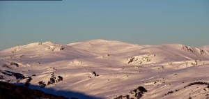
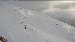
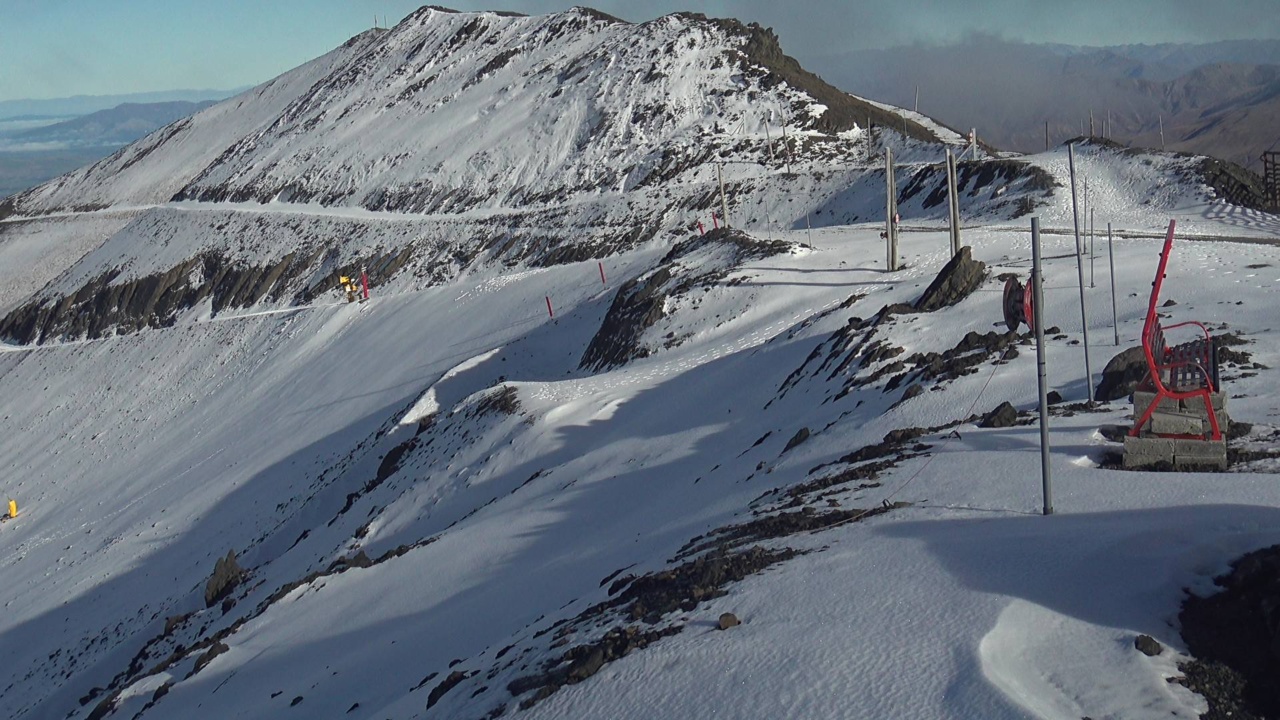
We have arrived in Winter but so far in New Zealand it doesn’t quite look like it yet. It is a slow start again, and it is not unusual to be still waiting for some significant falls to get things going. The lack of snow and minimal snowmaking has led to some opening dates being pushed back slightly, but there is a little of bit of hope on the horizon, with some weather on the way next week.
Canterbury is best placed for snowfalls with around 15-30cm mostly hitting on Monday. Some colder temps will also allow snowmaking to ramp up hopefully filling in some areas in time for their openings.
Short Term Update
The dry spell we have seen for the last month or so has seen a couple of reasonable early storms hitting the southeast of Australia but then going on to weaken and slide mostly south of NZ. Below is a plot of the MSLP anomaly of the past two weeks and we can see low pressure throughout the Great Australian Bight but not quite holding together to reach NZ thanks to stubborn blocking highs in the Tasman pushing the low pressure back towards the south.

MSLP anomaly for the last 2 weeks showing lower pressure below Australia sliding to the south of NZ. Source: NCEP.
Seasonal Story Recap
Recapping our last seasonal outlook, you might remember it was a mixed bag with not great signs for the north but a possible helping hand present for the south with a strong El Niño pattern potentially developing. So, let’s revisit if that is still our best call.
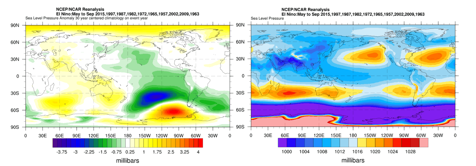
Typically, an El Niño looks like the below graphic, with higher pressures over Oceania and Australia in general, not quite reaching to New Zealand. While this can mean a potential poor season for Australian snow with a suppressed environment and many more clear days, the ramifications of an El Niño are not as clear cut for New Zealand.
The big mass of high pressure lends itself to a southwesterly regime over the country which can be good news for southern areas. Cool moist southwesterlies can allow for above average precipitation hitting the Southern Alps, but they aren’t quite as conducive for areas of the north with less storms and clearer days.
ENSO Revisit
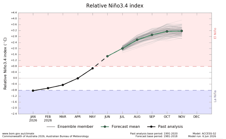
So, El Niño is the talk of the town but let’s just do a quick revisit on what is expected from ENSO for the remainder of the year. Right now, atmospheric conditions are neutral but waters in the Pacific are above average and continuing to warm. NOAA puts the numbers at 82% chance of El Niño conditions being met in the June-July period and a 96% chance they continue through the northern hemisphere winter (Dec-Feb). This is visualised in the plot below, which shows the BOM outlook of the Nino3.4 index.
So, in short, not a whole lot of deviation from my last outlook, with an El Niño expected. The only question that remains is how strong it will be and how strong the effect around the NZ/Aus region will be. The promoted pressure pattern mentioned above is an average and we can still see random chaos play out with storms bucking the trend.
Seasonal Products
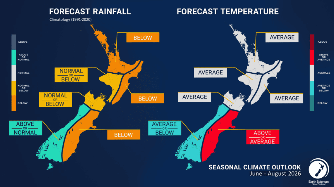
Putting the pieces together below is the NIWA (National Institute of Water and Atmospheric Research) June-August forecast for rainfall and temperature, showing above or average rainfall for the southwest and otherwise average or below in all other areas. Apart from the southeast, the outlook is for broadly average temperatures.
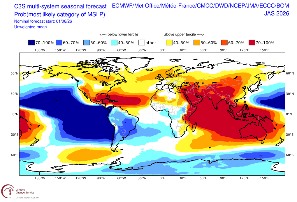
Next up a three-monthly MSLP (Mean Sea Level Pressure) outlook from a combination of many of the major global met agencies shows broad higher-than-normal pressures over much of Oceania and Australia while an area of low pressure sits to the south in the Southern Ocean. This is similar pattern to that El Niño pattern showed earlier, a pressure pattern that is likely to produce that consistent southwesterly regime over the winter.
Wrap it Up
Overall, there isn’t much new information to rock the boat from last month. El Niño is likely to rear its head through the winter, and we should see it promote an advantageous pattern for areas around the South Island particularly on those favoured by southwesterly flow. But for areas of the north and others that aren’t favoured by this regime it could be long periods between drinks.
In the short term there is some snow on the way to hit Canterbury areas the best over the start of next week and some cooler temperatures will help the snowmaking programs get things looking a lot more like winter.
Stay across conditions and potential snow with my NewZealand forecasts, updated every Monday, Wednesday and Friday.