Mountain Safety Collective Backcountry Conditions Report – Friday 17 July 2026
Mountainwatch | Mountain Safety Collective
We won’t dwell on the fact June was one of the worst season starts in living memory, with 250mm of rain falling in NSW, well over 300mm in Victoria and average alpine temperatures 2-3 degrees warmer than the same time last year. A season-saving storm arrived on 2 July just in time for school holidays, delivering around 30cm of snow, followed by another system on 13 July topping things up with another 25cm.
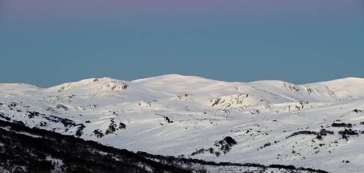
While the snow totals have been modest, they have filled in a lot of backcountry terrain above 1800m, with windloaded slopes totalling well over a metre of snow base. Below the treeline, cover is marginal, with rocks, bushes and creeks exposed.
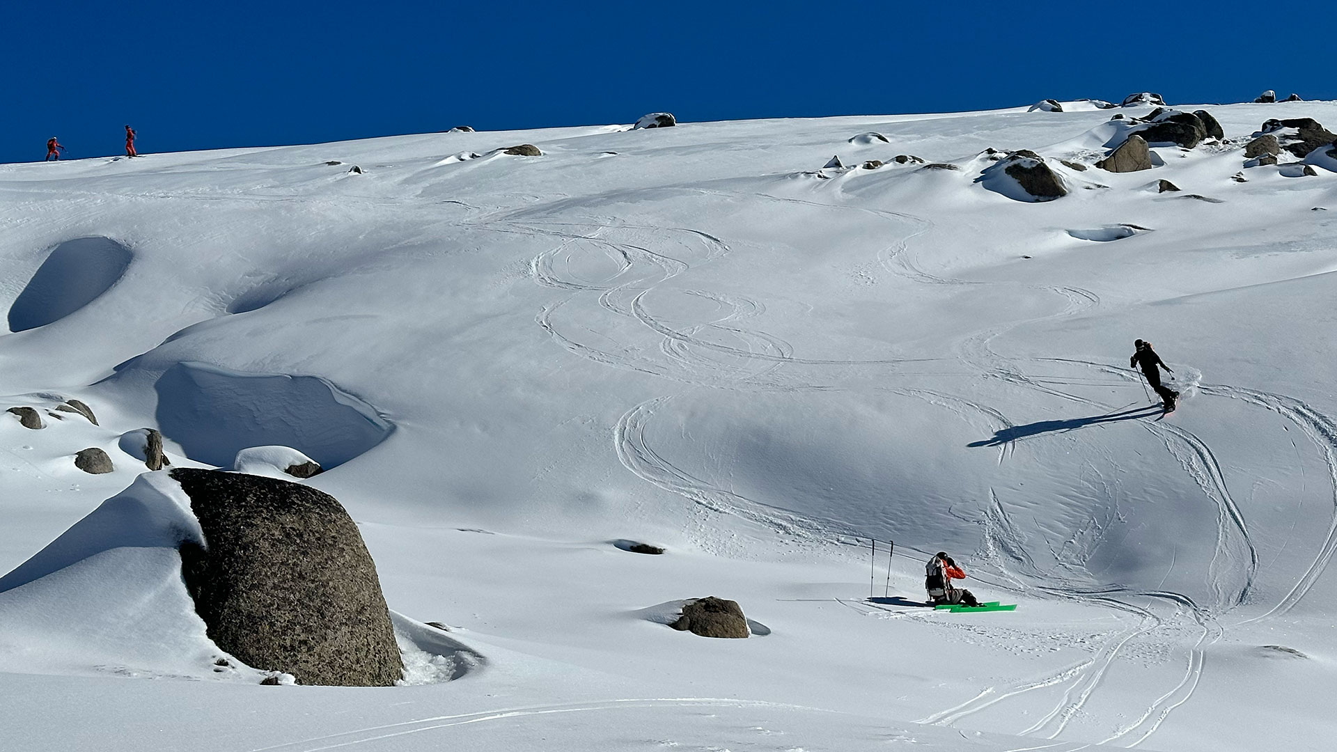
As we head into a sunny weekend, if you’re heading to the backcountry, this is what you can expect:
- Access from lower altitude trailheads requires navigating a very shallow snowpack with extensive obstacles on the ascent and requiring very cautious riding on the descent.
- Once you’re above 1800m, snow cover is generally deeper, but the moist finish to the last storm has created widespread ice on most aspects. Ski or boot crampons are essential for safe travel on all but the most mellow inclines.
- Above 2000m (Sorry Victoria), conditions are better on the NSW Main Range, with patches of windblown snow providing just enough cover for smooth turns on the descent, primarily on north, east and some south facing slopes. Evaluate your planned descent routes carefully, ride cautiously and be vigilant to avoid ice patches that can create slide-for-life conditions on steeper slopes.
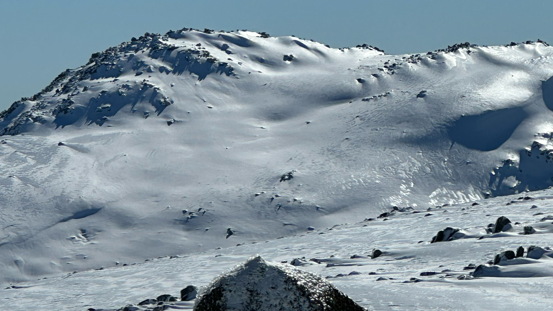
Warmer daytime temperatures and light winds from Saturday 18 July to Monday 20 July are likely to see spring-like conditions in the backcountry, with sun facing slopes softening from late morning. This will be beautiful backcountry touring weather, so if you’re prepared to navigate the ice to find softer snow you’ll still have a fun day out.
From Tuesday 21 July, clouds are forecast to roll in, but forecast models diverge significantly after Thursday 23 July on the potential for precipitation. While there’s a low likelihood of any major storm systems before the end of the month, with a reasonable snow base now in place, any 5-10cm top ups will open up more terrain options.
In the meantime, check Mountain Safety Collective’s free, daily Backcountry Conditions Reports for the most up to date information. MSC’s Membership Drive is also running through July and August with some fantastic prizes being drawn.