Australian Weekend Forecast, Thursday August 18 – Rough Today, But Snow Up Top Tonight and Lower Tomorrow
Mountainwatch | The Grasshopper
Valid Thursday 18thAugust to Saturday 20thAugust
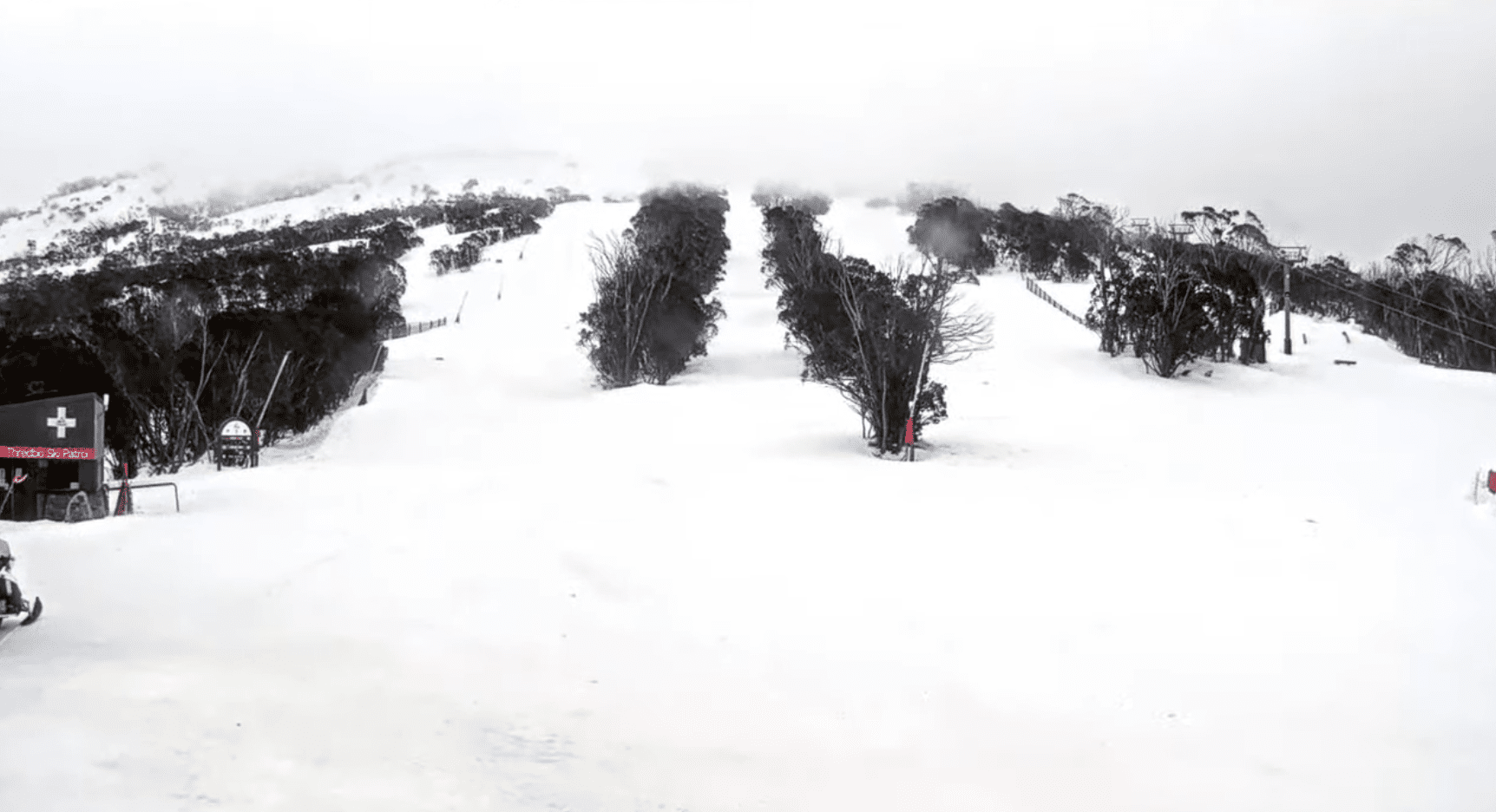
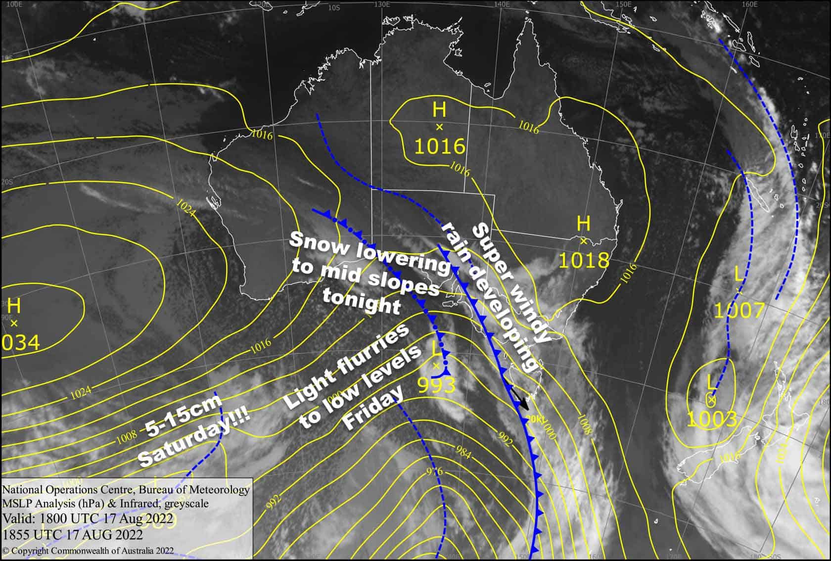
Today is one of those rough pre-frontal days, when the northwester wants to peel your face off, let alone blow the froth off your latte. The front itself will pass overhead tonight, with heavy precipitation. Fortunately, temperatures will gradually drop overnight so that snow levels lower to about mid mountain where accumulations should be quite juicy, likely in the 10-20cm range.
Snow levels then drop to low levels during Friday as the cold air floods in, but snowfalls will be on their way out, so only a light dusting down low is expected.
A second cold front hits Saturday, bringing a nice top-up to low levels of about 5-15cm.
Thursday 18th
Rain spreading eastwards over Victoria during morning, becoming heavy during the evening whilst turning to snow about the tops.
It’ll be a partly cloudy day for NSW. The rain won’t arrive till around evening, also becoming heavy at night while turning to snow about the tops.
Gale NW winds blowing like mad, possibly reaching 80-100km/h in exposed areas. Crikey!
Friday 19th
Heavy snowfall to around 1600-1800m, easing to light flurries to 1200-1400m in Victoria by dawn then gradually clearing, with blue skies breaking out.
Similar story for NSW, but delayed, so that heavy snow to 1600-1800m will back off to snow showers to 1400-1600m during the morning, then gradually peter out during the afternoon with some sunshine also showing up.
W-SW winds easing, but remaining quite strong over Baw Baw.
Saturday 20th
Snow to 1200-1400m spreading east early, then pinning back to snow showers to 1400-1600m before clearing in the afternoon or evening. Strong to gale W-NW winds, turning SW during the arvo and abating.
Extended Forecast
Sunday will be the day, as a ridge of high pressure brings fine settled weather for us to carve up the fresh snow from the day before.
Monday will be another one of those gnarly pre-frontal days, before yet another more active cold front hits late in the piece, with heavy rain turning to snow as cold winds from the south arrive.
Light snow flurries/showers should continue to fall through Tuesday and Wednesday, and possibly into next Thursday, before the southerlies die out as high pressure sets in next Friday with a couple or a few fine days in store.
That’s all from me today folks. For this week only, I’m sending out the forecasts Sunday, Thursday and Saturday. Next week, I’ll be back to the usual Monday, Wednesday and Friday forecasts. Have a great day.
Grasshopper


