Grasshopper’s Forecast, Saturday July 6 – A Nice Weekend and a Snowy Outlook
Mountainwatch | The Grasshopper
Saturday 6 July
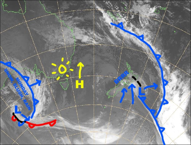
Synoptic Outlook
The high to the east sidles up the Tasman Sea this weekend, while the sun continues to shine over the Aussie Alps and northerlies clock around to the northwest. A grotty looking front will bring rain and drizzle during Monday, but snow about the tops will lower to mid mountain during the latter half of the day, by which stage it will just be light flurries. A weak ridge of high pressure on Tuesday will see brisk, chilly westerlies blow in a couple of snowflakes.
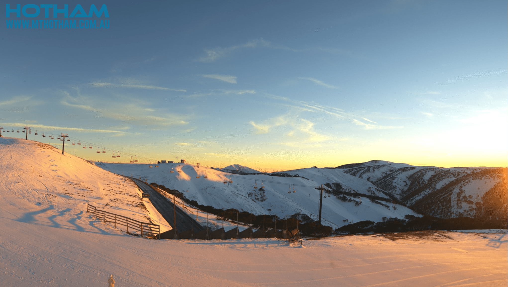
Image of The Day
Saturday 6 July
Head up the hill with the kiddos today. We’ve got a nice sunny day with a touch of high cloud later and a northerly breeze.
Sunday 7 July
Mostly fine with a little afternoon cloud and a N-NW breeze.
Monday 8 July
Wake up to a rainy, drizzly day and hit the snooze button. However, snow about the tops will lower to mid mountain later in the afternoon, so you might want to hit that – it’ll only be light flurries by that stage though. NW winds will gradually swing around to the W-SW.
Tuesday 9 July
A fairly cloudy day with a light snow flurry or two, and a brisk, chilly westerly wind.
Extended Outlook
Those solitary flakes we’re expecting on Tuesday should build into something a teeny bit more substantial during Wednesday, as a cold front approaches from the west and NW winds start ruffling more than just feathers. This cold front could be the start of the storm we’ve been waiting for. At this stage, the front should hit during Thursday, followed up by a second on Friday, with decent snowfalls falling through next Saturday, and lighter falls and cold temps possibly continuing through next Sunday and Monday. Accumulations could be substantial, maybe half a metre or more in some lucky areas.
That’s all from the Grasshopper. Wanna keep your finger on the pulse of all things snow? Join my weekly email list by filling in the box on my forecast page. If you have a question or feedback for me, hit me up on facebook.


