New Zealand Forecast, Issued Monday September 5 – Winter’s Back with Tuesday Snow Then Cold but Fine Weather
Mountainwatch | The Grasshopper
Valid Tuesday 6th September 6th to Monday 12th September
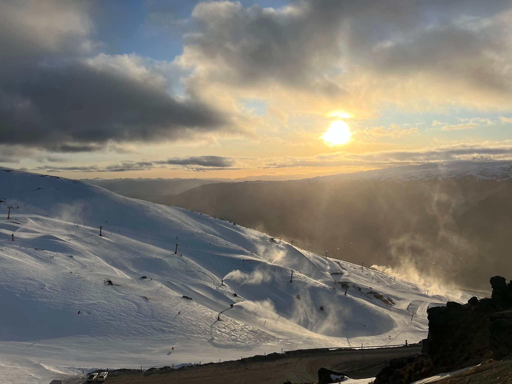
Winter is back! After a very mild end to Meteorological winter, the Southern Ocean has decided to throw a few cold fronts this way, with snow showers across most South Island ski fields and finally a really good snow dump for Ruapehu! This cold outbreak may bring a chance for Manganui to open for the first time this season.
Wednesday looks like a good bet for nearly everywhere, although conditions are expected to deteriorate over the Otago ski fields as a front moves through. That front shouldn’t reach Mt Hutt until later in the afternoon and may bring a fresh dusting of snow to the Remarkables and Coronet Peak.
The second half of the week should bring plenty more bluebird days for the South Island, although northerly winds pick up from Saturday.
Predominantly fine weather over the central North Island later in the week, although there is a risk of cloud and showers with a lingering trough.
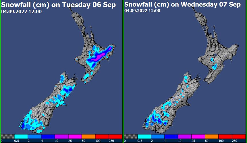
Tuesday 6thSept
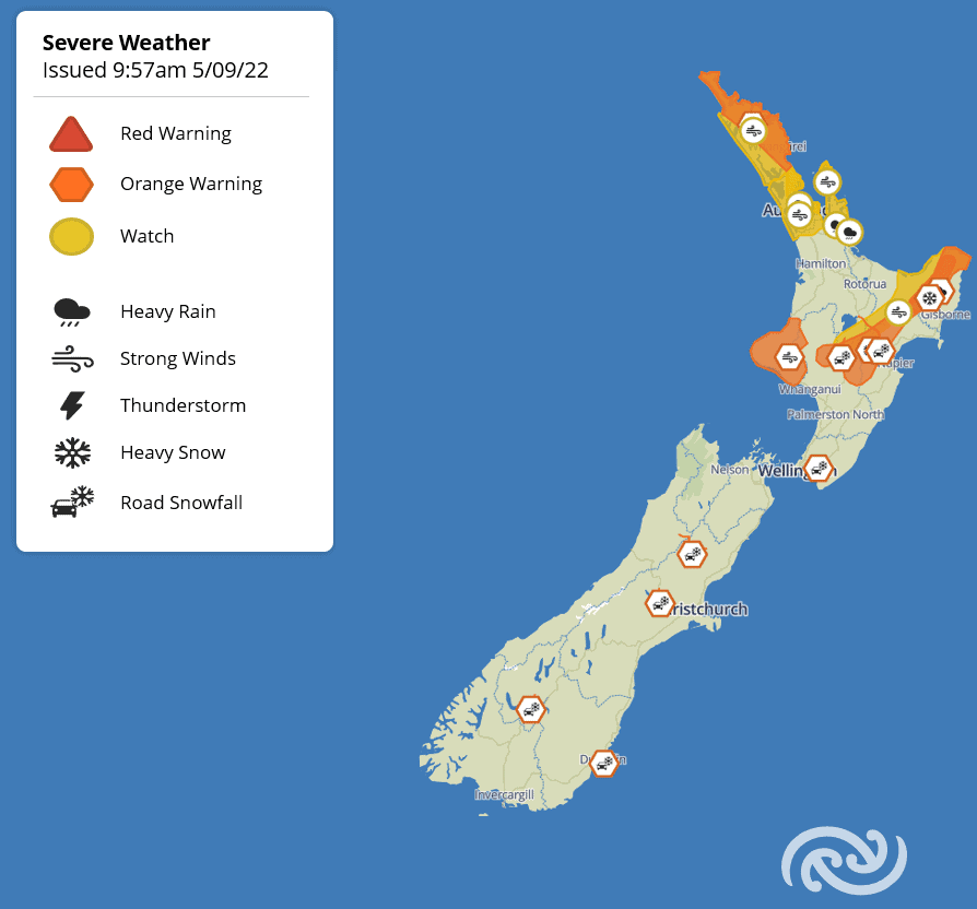
All eyes will be on the central North Island to see how much snow fell overnight. An improving trend through the day, although it may take until well into the afternoon for strong winds to abate.
Fine or becoming fine for all South Island ski fields, with very cold temperatures.
Wednesday 7thSept
Bluebird skies for most. A front could bring a fresh dusting to the Otago fields, especially the Remarkables and Coronet Peak, but only small amounts.
Thursday 8th– Saturday 10thSeptember
Fine weather continuing across the South Island, although northerlies are likely to increase during Saturday.
Lots of fine breaks for Ruapehu, but perhaps not completely dry either, with some weather models indicating a risk of showers.
Sunday 11th– Monday 12thSeptember
The next trough approaches from the Tasman Sea, with conditions likely to deteriorate – northerly winds and cloud increasing. Rain spreading to most places on Monday as the trough moves through.
Extended Outlook
As that trough moves away to the east, we may see another cold outbreak for the first half of the week, potentially bringing another top up to the South Island ski fields.


