Storm Drops 10-20cms Across Australian Resorts. Photo Spread
Mountainwatch | Reggae Elliss
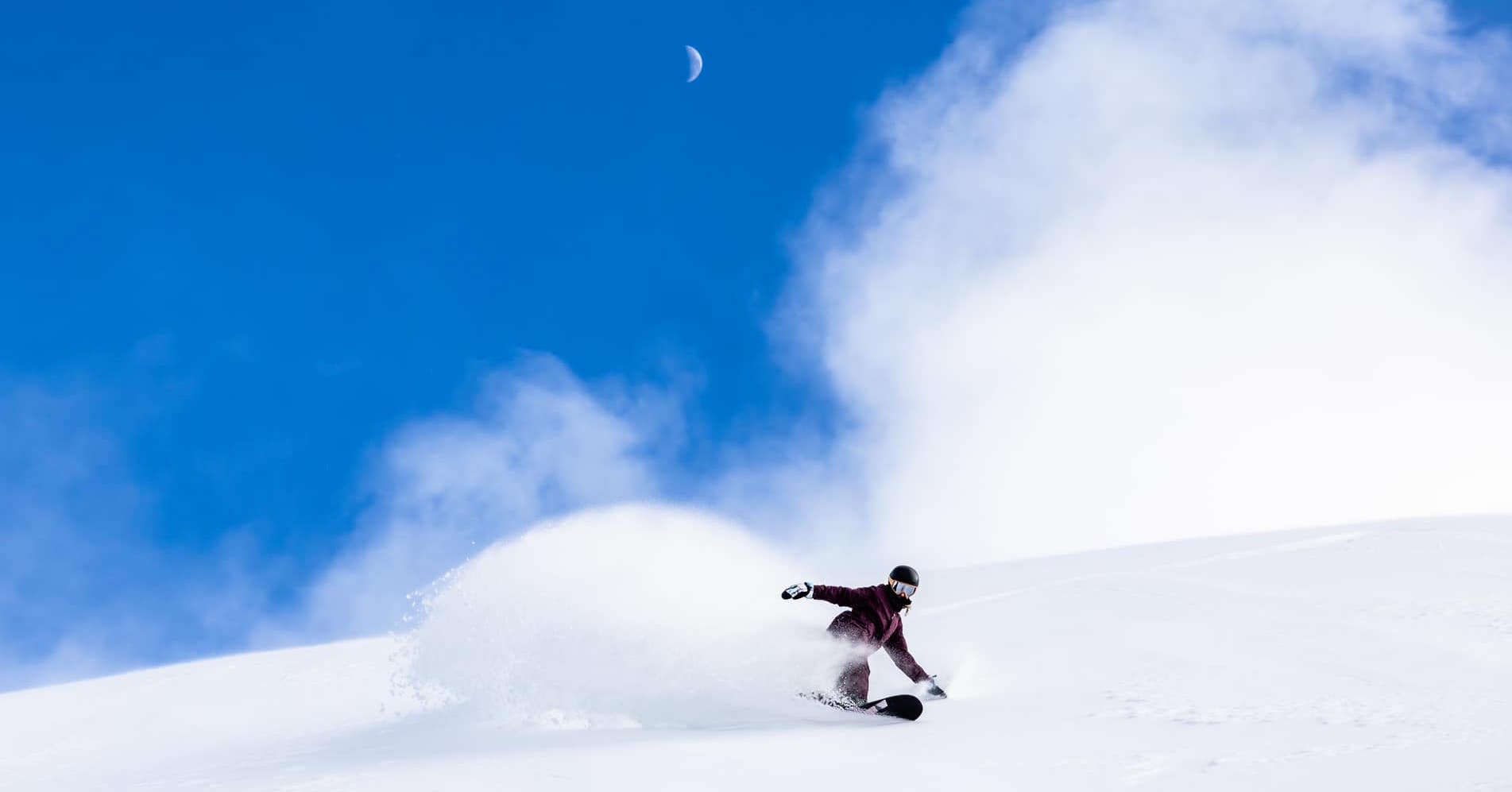
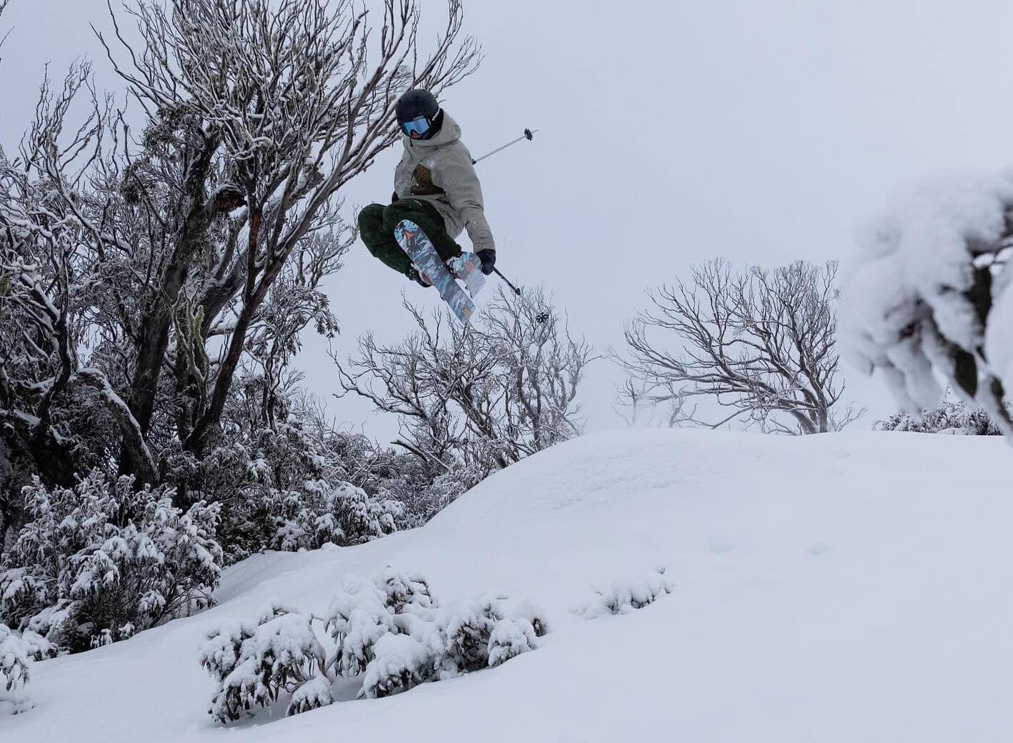
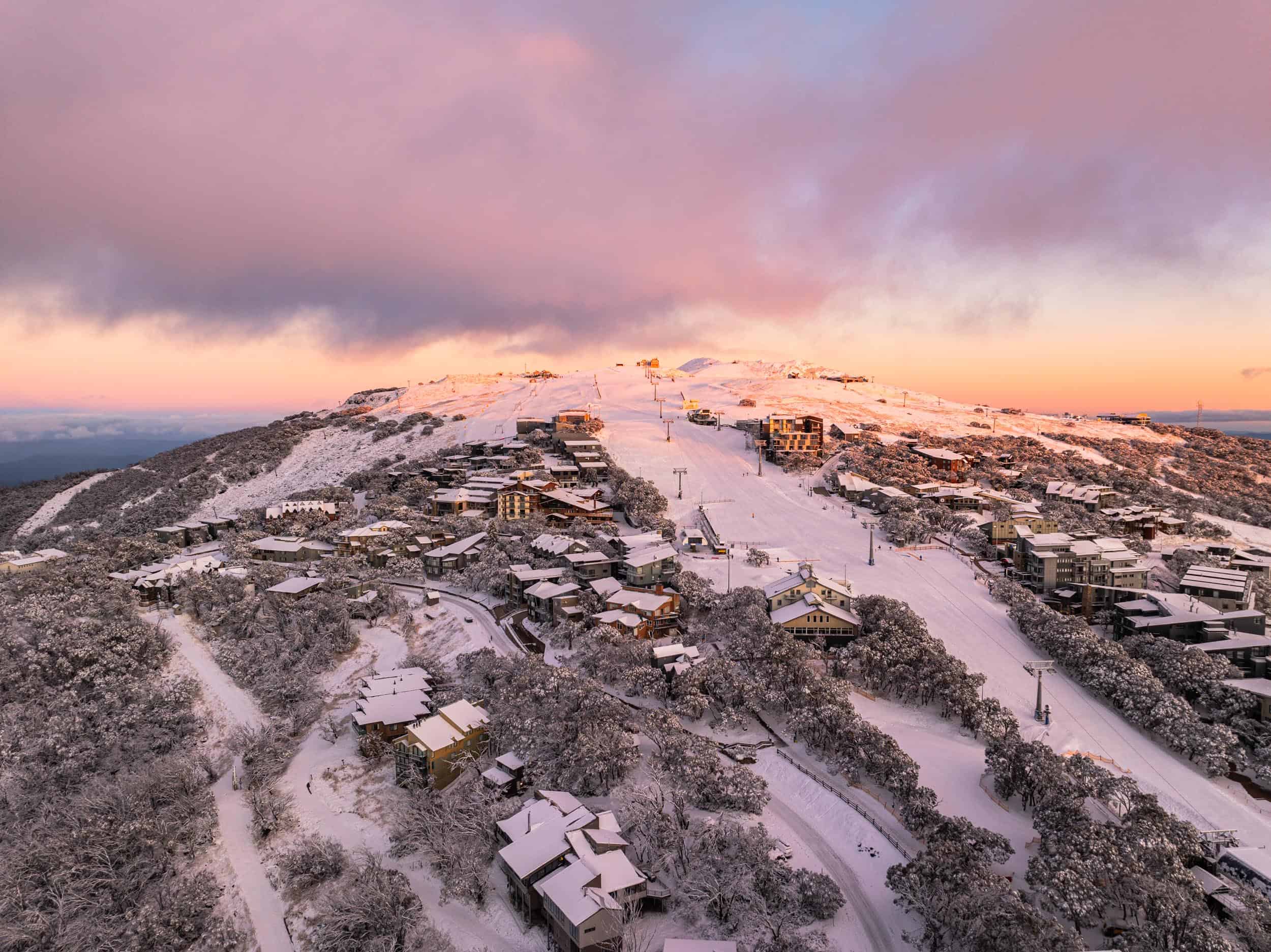
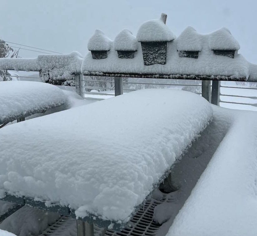
Yesterday’s storm delivered some much-welcome snow across the Australian resorts, the Victorian resorts faring well with Hotham and Mt Baw Baw reporting 20cms this morning while Buller and Falls Creek received 16cms. The front hit around midday in Victoria and it snowed from the start and with sub-zero temps during the storm, the snow was high quality.
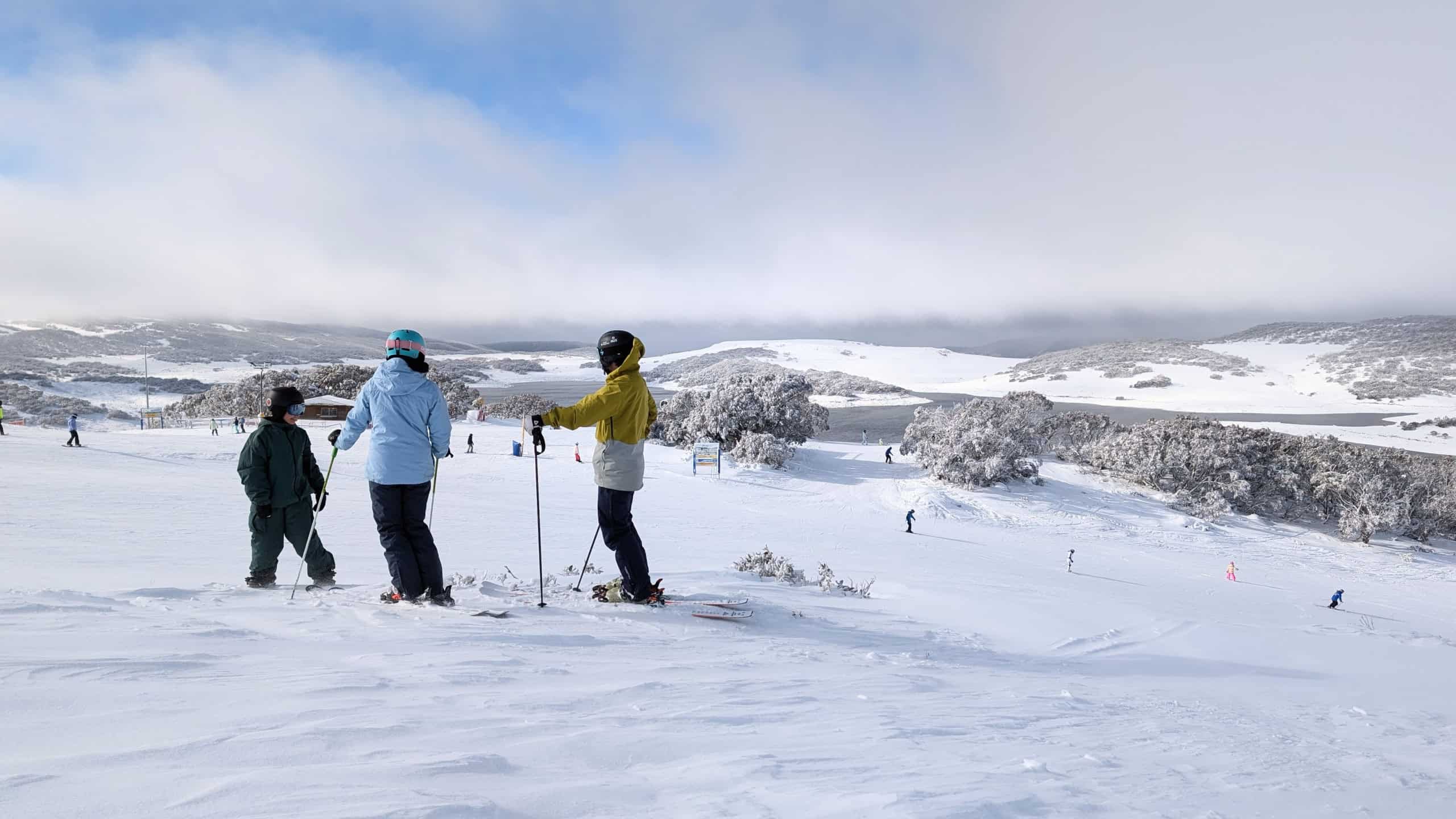
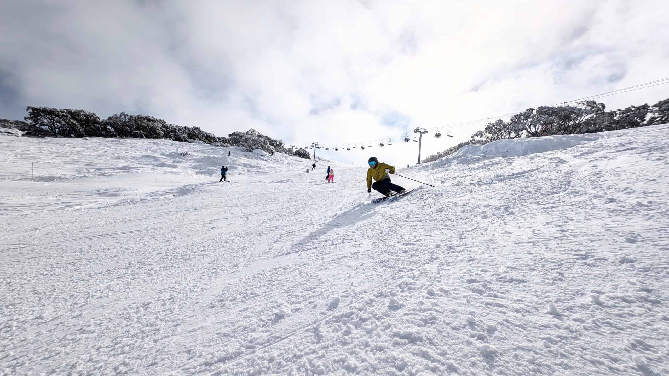
It was a different story in NSW where it was two degrees warmer and the snow level sat at around 1750m with a heap of rain at lower elevations. Perisher and Thredbo reported 5-7cms at 1700 metres this morning, but there more up high with 20+cms at the top of Thredbo’s Basin T-bar (elevation 1965m) while photos at Mid-station Perisher showed 15cms.
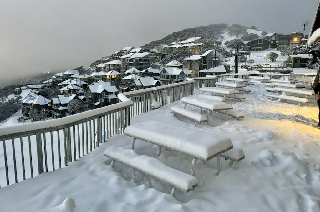
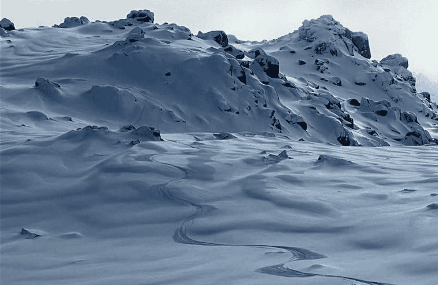
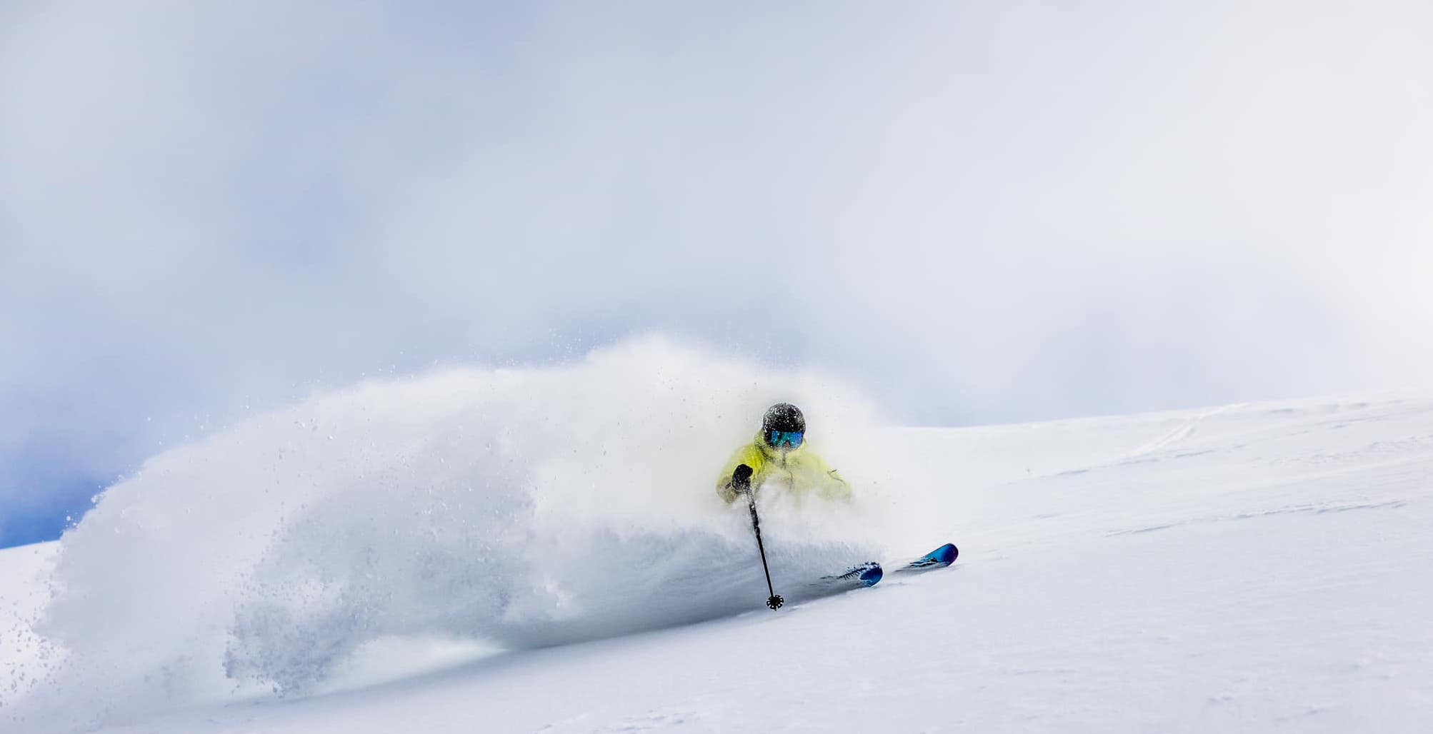
There was strong to gale-force NNW winds during the storm, peaking at 119km/hr at the top of Thredbo and 91km/hr at Mt Hotham. That saw chairlifts on wind-hold in most resorts, but it also blew in a lot of snow, filling in the terrain at higher elevations.
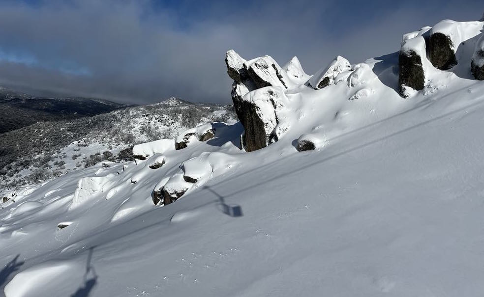
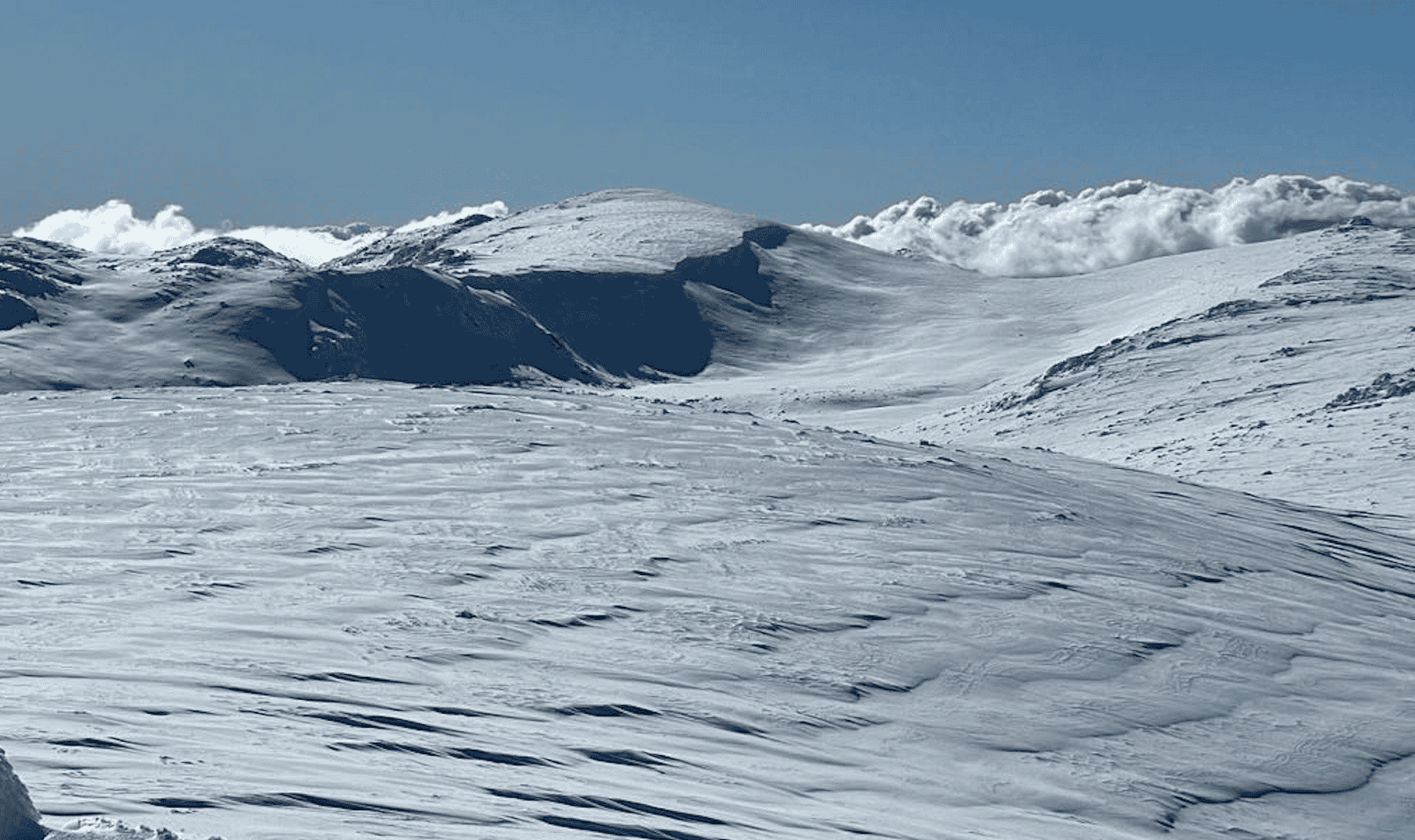
The weather cleared late this morning and a few people ventured into the backcountry, where by all reports there was a mix of dry windblown snow and 25cms of fresh, once again high-quality snow thanks to cold temps which dropped to -6 at midday.
The forecast is for colder temps and good snowmaking conditions over the next few nights and all resorts will be working on opening more terrain with the busy school holiday period underway.
Check our daily snow reports for up to date details on snow conditions at Mt Buller, Falls Creek, Baw Baw, Hotham, Thredbo, Perisher, Charlotte Pass, Selwyn Snow Resort