Storm Journal Sept 8th -10th – Friday’s Blizzard And Three Of The Best Days Of The Season
Mountainwatch | Reggae Elliss
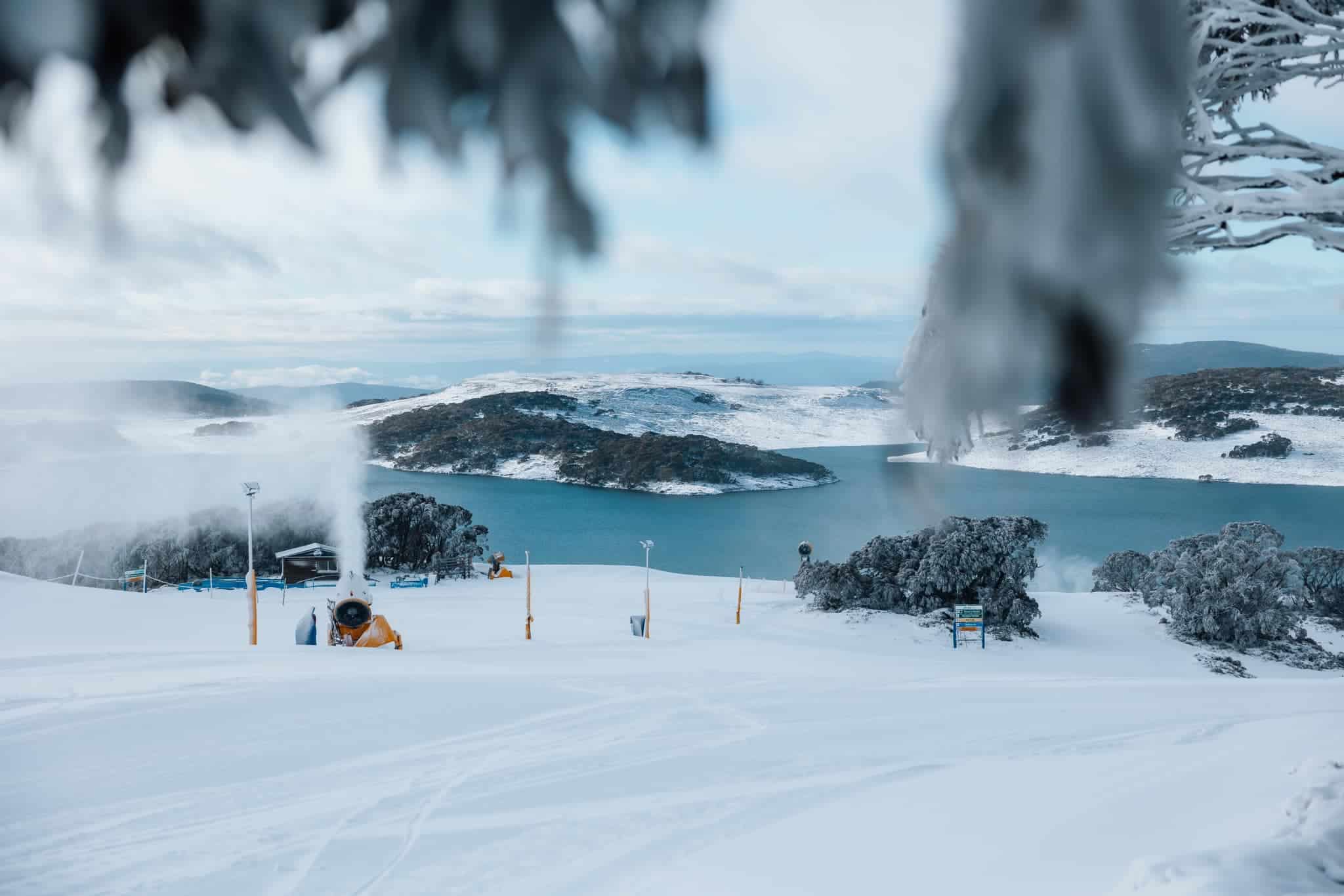
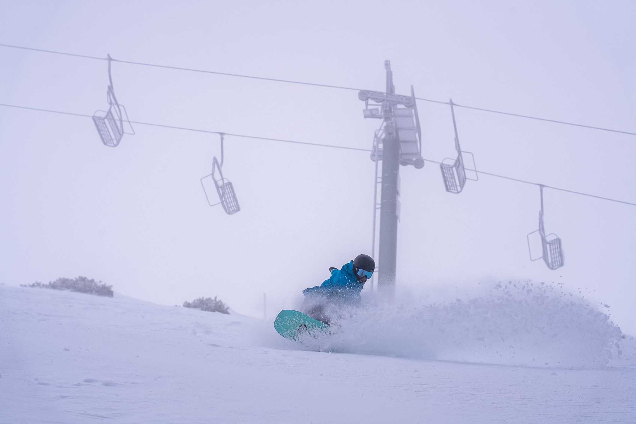
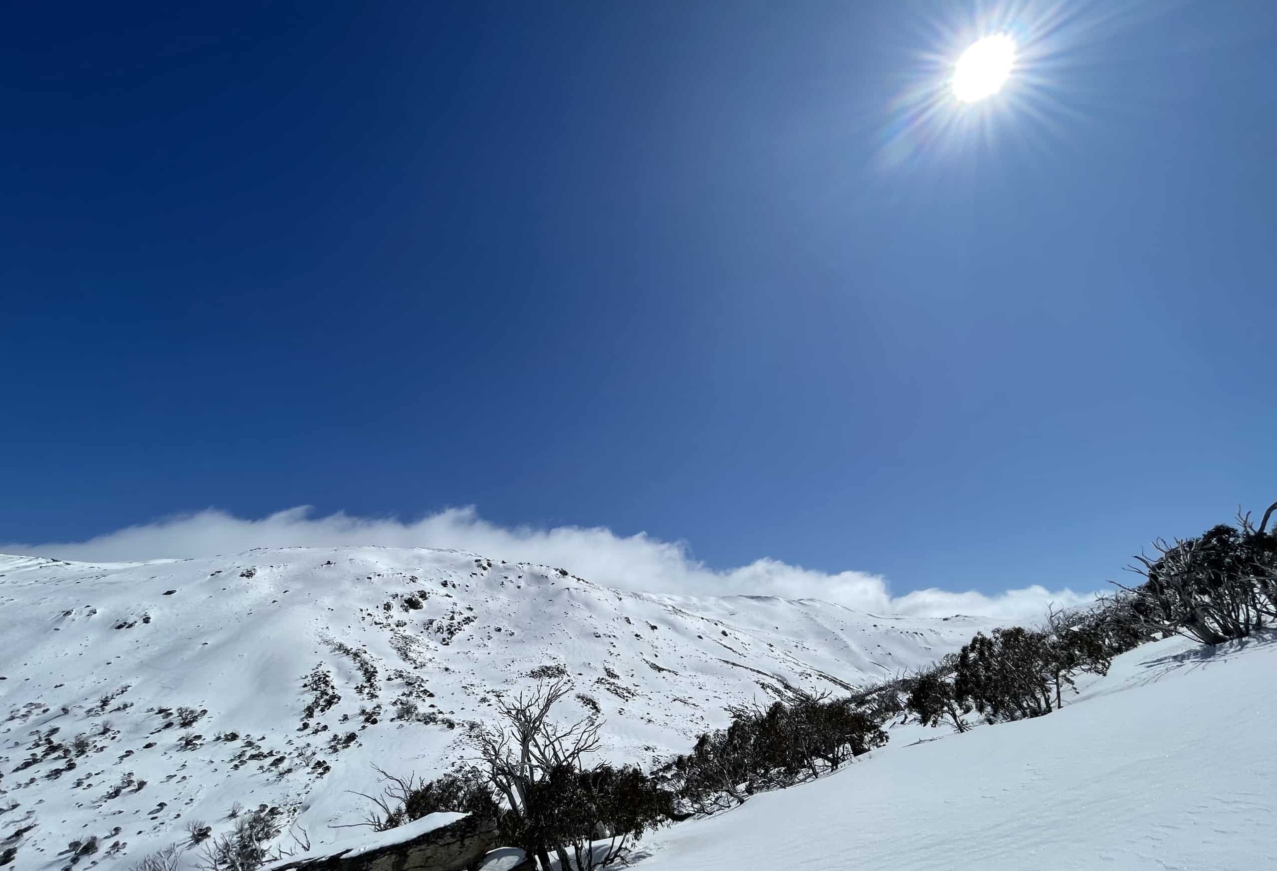
It’s hard to believe this is only the second storm journal we’ve published this season and with snow totals of 20-27cms, as per the Grasshopper’s forecast, we are not talking a big storm. However, it was the biggest storm since July 8th and last Friday was a true winter blizzard with consistent snowfalls, poor visibility, ripping WNW winds gusting over 110ks and chairlifts on wind-hold.
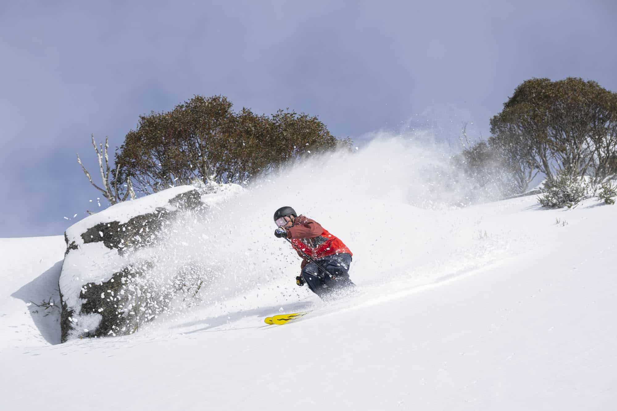
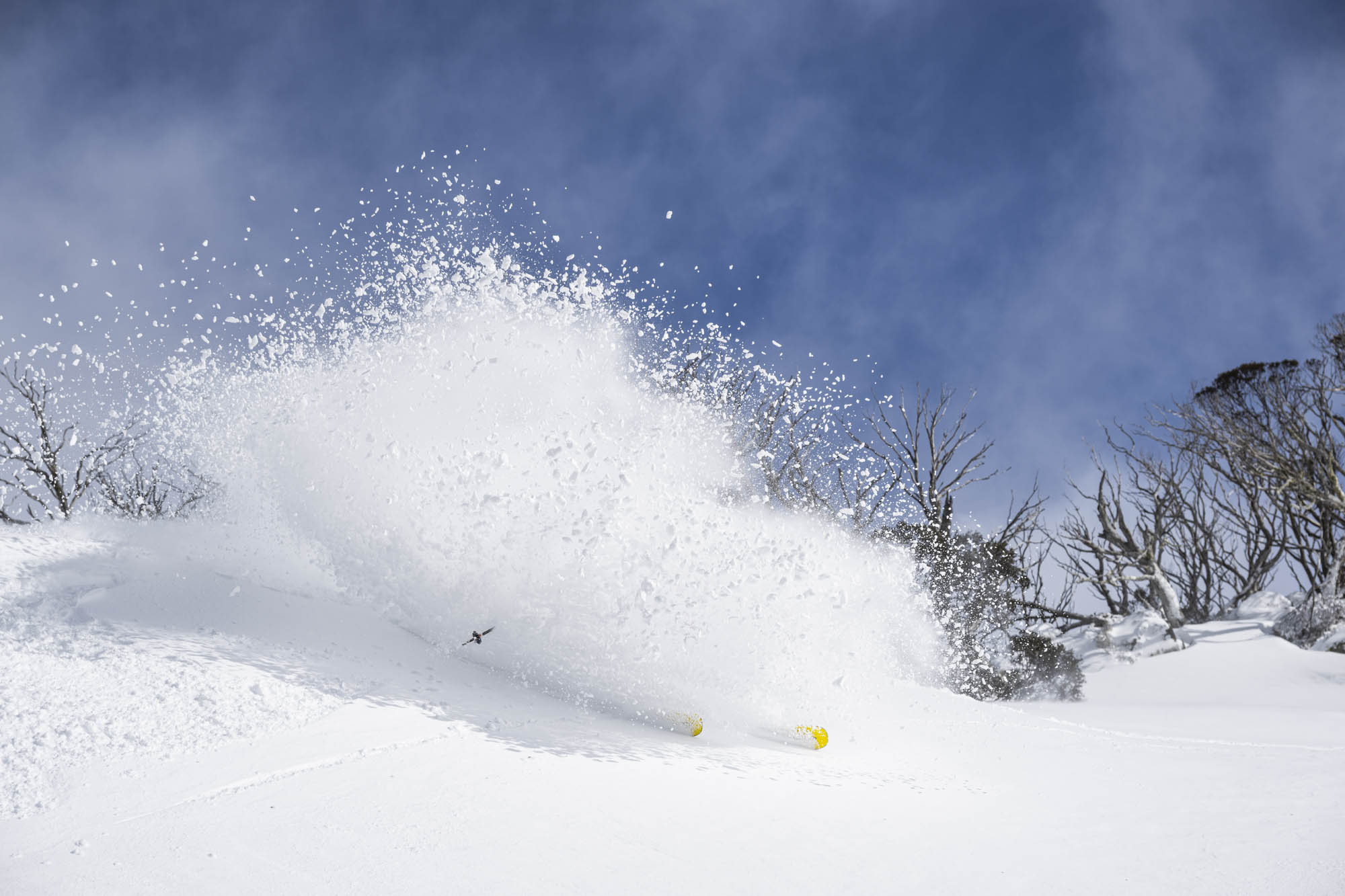
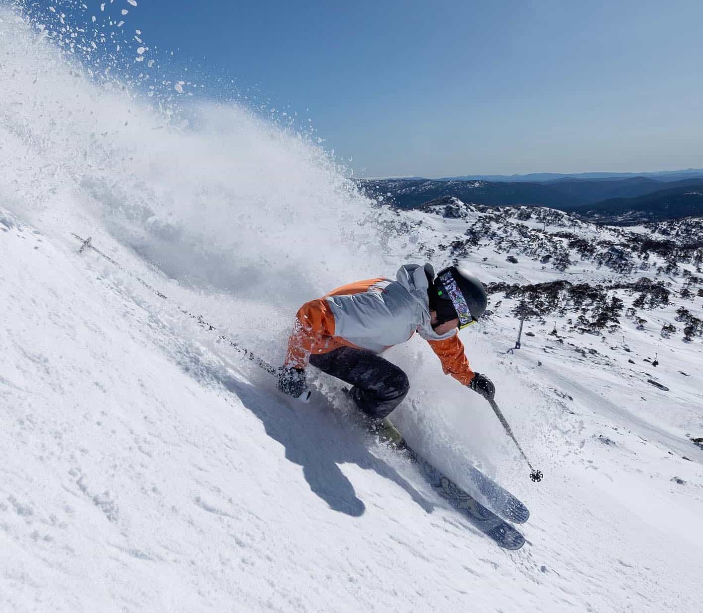
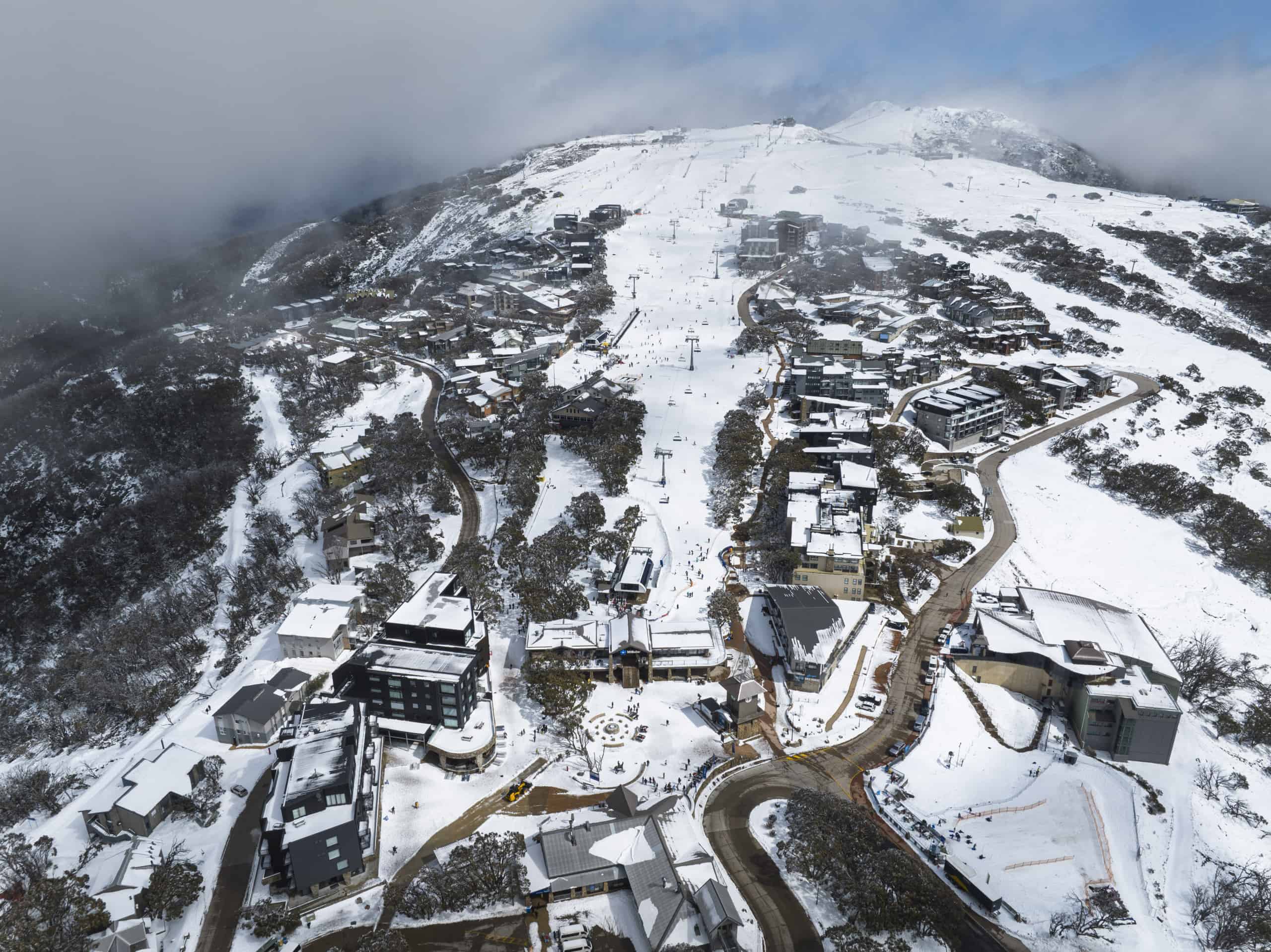
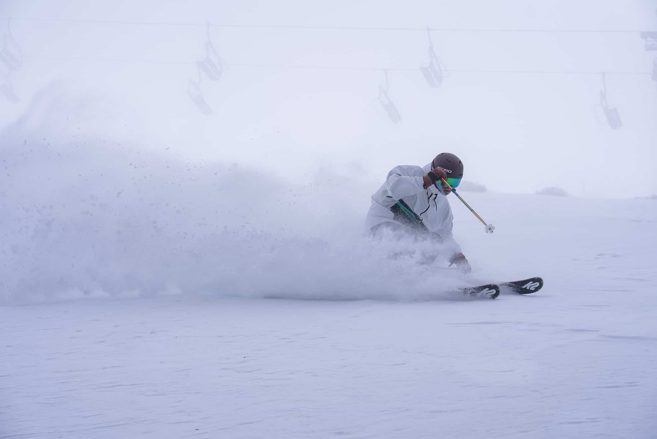
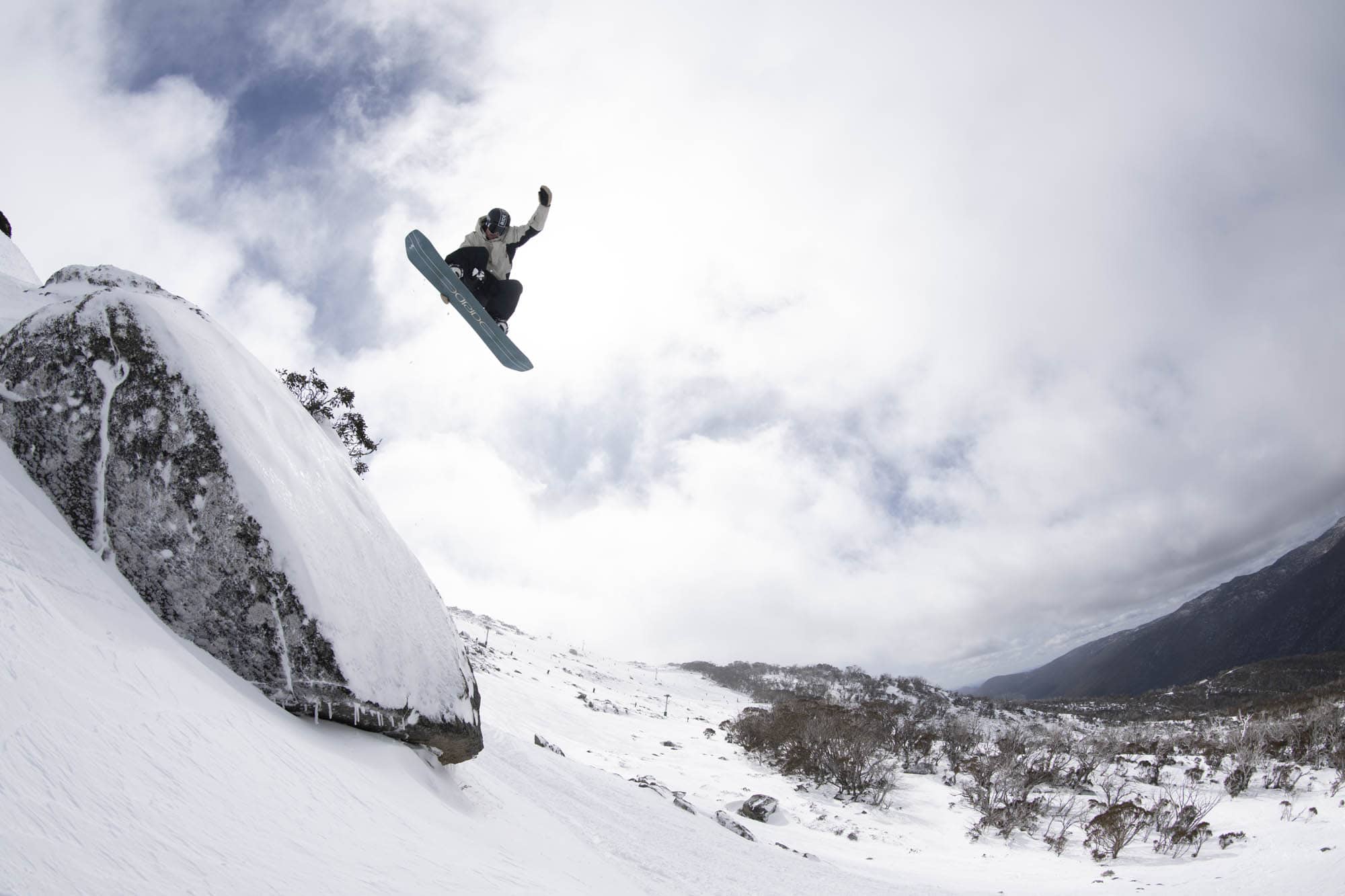
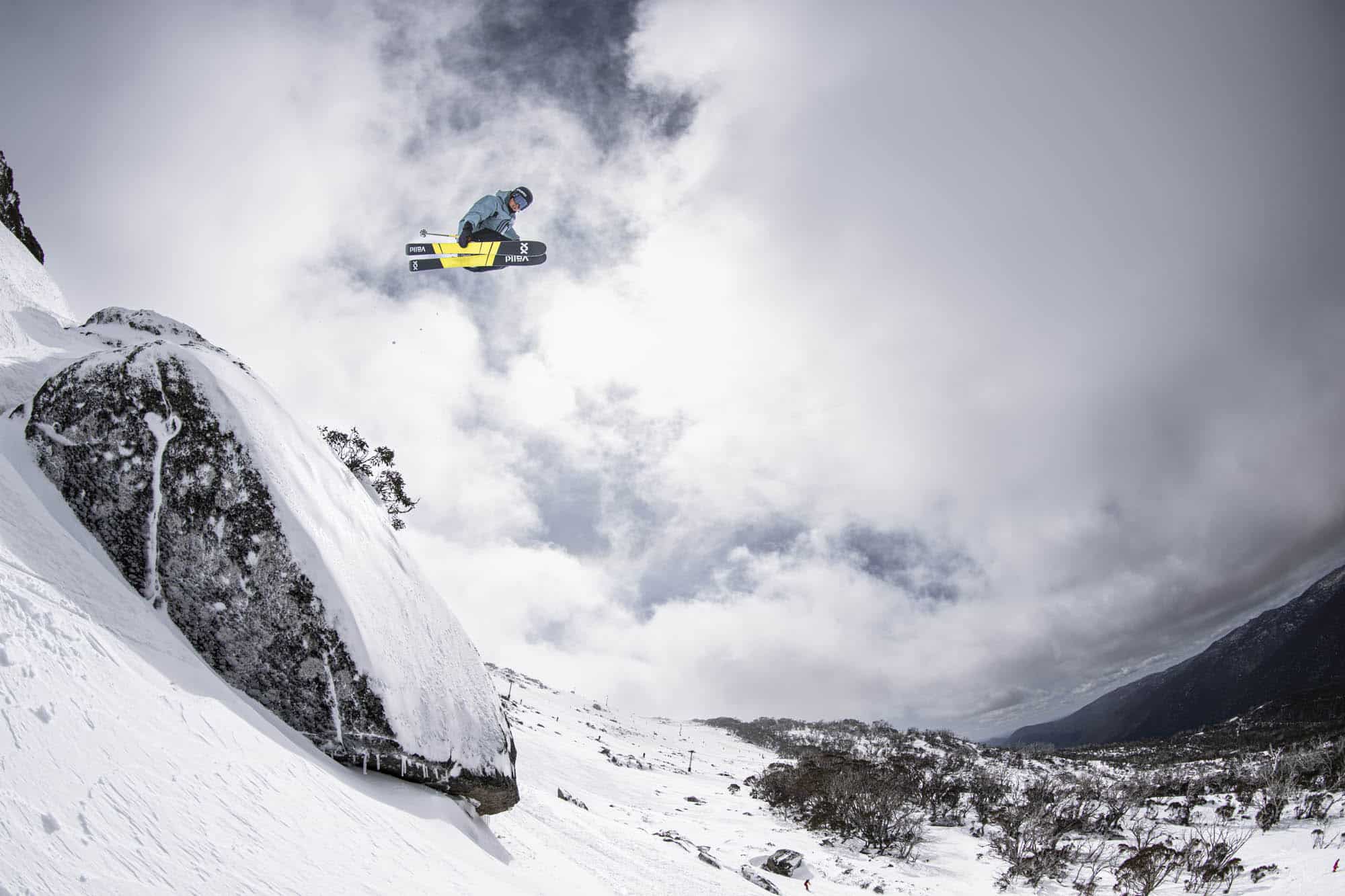
The result was three days of the best snow of the season with Saturday turning on fresh powder turns and cold temps maintaining the snow quality. There was a cheeky 5cm follow up on Saturday night and the snowmakers also had the guns firing. Today and yesterday were also very good thanks to a cover of cold, winter-like snow and excellent turns on and off piste.
The Grasshopper first mentioned the potential for a good storm in his forecast on Friday September 1st and confidence firmed up a few days later, with up to 25cms likely although he was calling for rain prior to the freezing levels dropping for it to turn to snow.
The Grasshopper first mentioned the potential for a good storm in his forecast on Friday September 1st and confidence firmed up a few days later, with up to 25cms likely although he was calling for rain prior to the freezing levels dropping for it to turn to snow:
“The big storm will start off with heavy rain Thursday night, but cold air will pile in around the top of the low during the wee hours of Friday as it crosses the Bass Strait and Tasmania, with snow levels getting nice and low by brekkie time.
At this point, there is a fair amount of model discrepancy around snowfall amounts due to subtle differences in the position and intensity of the low. However, accumulations in the range of 10-25cm for the day is a good bet, with deeper patches possible due to wind drift.”
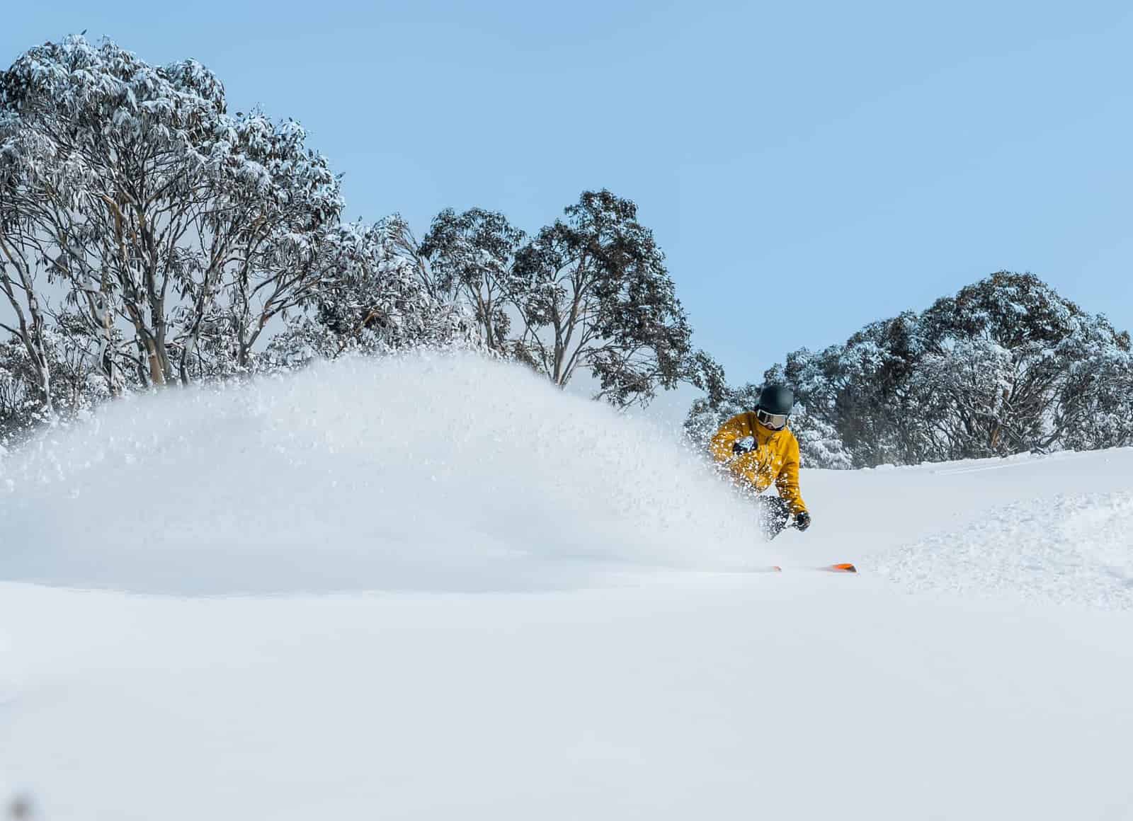
We did get a lot of rain with 20+mm on Thursday night which hammered the fragile snow pack at elevations below 1600 metres. However, the cover up high handled it OK and on Saturday morning it was looked and felt like mid-winter with 20cm so fresh snow and temps below zero all day.
It would have been nice if this storm had come through a month ago, and it may be a case of too little too late, it has been a fun few days and another example of when it comes to snow in Australia, timing is everything.
Stay tuned to the Grasshopper’s forecasts to see how things will pan out over the next few weeks of the season.