Weekly Japan Forecast, January 13th – Another Quiet Week with a Spring-like Start
Mountainwatch | The Grasshopper
Written Friday 13thJanuary (Japan Standard Time)
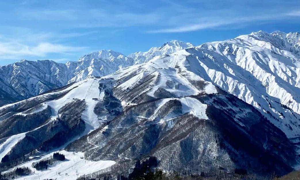
It’s been a relatively quiet week in terms of snowfall totals, but by all other accounts it’s been an epic one! After receiving a tidy top up Saturday night, Honshu copped a bigger dump Monday night into Tuesday of roughly 20-40cm, followed by a couple of days of totally shredable fine and settled weather.
The next seven-day period will see a spring-like start as temperatures climb uncomfortably high before rain sets in. Fortunately, rainfall amounts won’t be too high over the major ski areas, and colder northerlies will descend over the country from Sunday, dropping snow levels to more appropriate winter-like altitudes.
From Monday through Thursday we’ll only see light, intermittent snowfalls, equating to just a dusting, interspersed with sunshine, before snowfalls look to make a comeback from next Friday onwards.
Friday Jan 13th
We got an unseasonal warm and sunny day ahead, more spring-like than winter-like! There’ll still be a little bit of cloud about northern Honshu and over Hokkaido, mind you, and mid-high level cloud will start to build later this afternoon before rain/drizzle moves in tonight as a low approaches from the west.
Saturday Jan 14th to Sunday Jan 15th
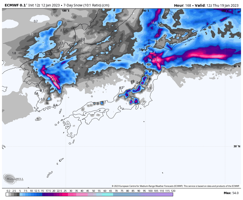
Saturday will continue to bring periods of rain/drizzle to Honshu, although it may clear central regions for a large part of the day. Once the low passes over, colder northerly winds will descend down over the country, starting with Hokkaido during the morning, northern Honshu in the afternoon, and central Honshu in the evening.
Temperatures and snow levels will drop behind the wind change, perhaps not quite to base levels on central Honshu. However, only light, intermittent snow showers/flurries are expected through Sunday. The northeast corner of Honshu is likely to receive the lions share with more persistent moderate falls, as highlighted in the image above.
Monday Jan 16th to Wednesday Jan 18th
Slack pressure gradients over Japan will see only light, intermittent snow showers throughout this period. Honshu will likely see peaks in snowfall, albeit low peaks, early Monday and late Wednesday as the weakest of cold fronts push through, with some sunshine even gracing the skies during the intervening time.
Thursday Jan 19th & beyond
Sunshine will again break out over the country during Thursday as a low moves into the Sea of Japan off the continent. Models diverge at this point as to the timing of the storm this low will bring to the country, ranging from late Thursday to later next Friday.
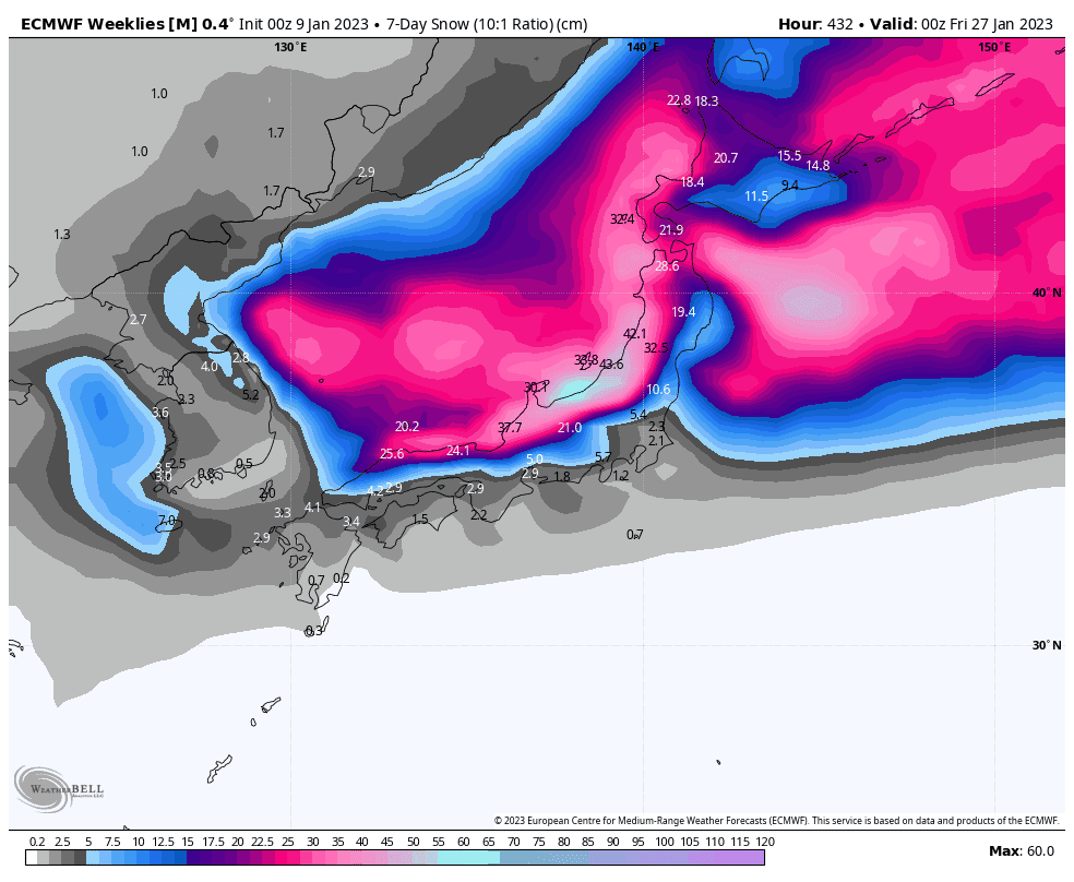
Regardless, we should see heavy snowfall at some point next Friday to kick off the next seven-day period in what should be a comeback in Japanese snowfall, with overall cold temps and above average precipitation.
Well, that’s all from me this week guys, see you next week!
Grasshopper


