World Snow Wrap Dec 13 – Big Snow Totals for the US and Europe This Weekend, Up and Down in Japan and Whistler in Line for Its Biggest Dump of the Season.
Mountainwatch | Reggae Elliss
There have been plenty of powder shots in social feeds out of the US this week and it will continue with a weekend of powder turns on the way. After a lull in the action the snow returned to the European Alps this past week and the weekend is looking good for nearly a metre of snow in some areas. Japan has had a mixed week with some rain, but the snow returned last night while they will be loving the forecast in British Columbia with plenty of snow on the way.
USA
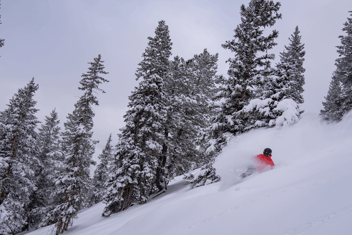
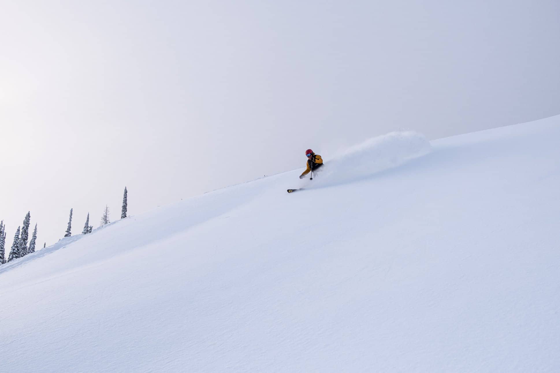
There has been more snow across the western states of the US this week with regions in Colorado and Utah receiving 20-30cm on Monday. California also saw good falls last weekend and the Tahoe resorts and Mammoth have had over 2.5 metres of snow in the past two weeks. Many US resorts now have a very good mid-December base and more snow is due this weekend. This storm will deliver some powder turns in a number of states across the weekend with 50-70cms forecast for Colorado, while Jackson Hole should see 30-40cms in the next 24 hours and Utah resorts are set for a hefty 60+cms of snow. The snow will be accompanied by cold temps, so we are talking quality powder on the way.
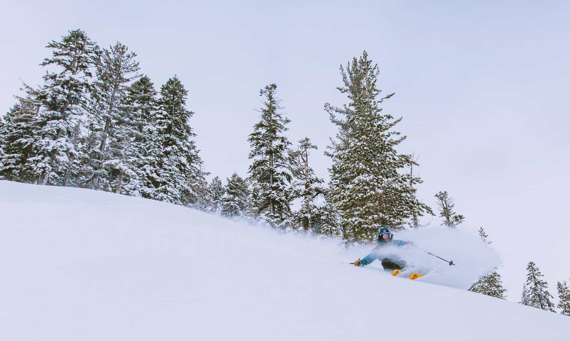
California is in line for yet another storm, starting Friday night with 40-50cms forecast for Squaw Valley and the other Tahoe resorts with snow down to lake level on Saturday morning. Mammoth Mountain won’t see the totals expected in the Tahoe region, but there is 20cms forecast. There’s also good news for the Cascades which has missed out on the previous snow thanks to warmer temps and rain, but is in the firing line now with 40-60cms likely over the next 36 hours.
JAPAN
The past week has been a mixed bag in Japan, the northern island faring better with good snow falling across the Hokkaido resorts early in the week with 25cms in Niseko last weekend, followed by another 8cms last night. Unfortunately, a warm trend mid-week also saw some rain, but snow is expected this weekend with another 25cms in the forecast. Further north in Furano our snow reporter Lucy Morrell was happy this morning after the resort reported 36cms overnight, but she reckons that is conservative and was looking forward to some deep powder turns today and more on the weekend.
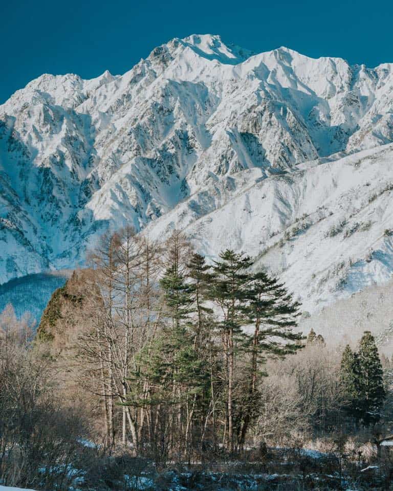
After a mild sunny week and some rain on Wednesday night the resorts on Honshu reported snow last night with 10cms on the upper mountain in Hakuba and a dusting at the base. Happo One, Hakuba 47 and Goyru have some lifts open on the upper mountain but you still can’t ski to the base. Shiga Kogen also saw 10-15cms and has 10 lifts open. Myoko had a few cms last night, but still not enough for any lifts open with opening day now scheduled for December 21.
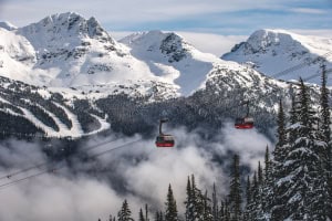
CANADA
After a slow start to the winter in British Columbia it is snow across the province today and Whistler is in line for 15-20cm over the next 24 hours with another 30-35cms forecast for Dec 17-18. It is likely the snow will continue into the following weekend. There are currently only 12 lifts open with open terrain mainly on piste with only snowmaking on the lower mountain, but that should change next week.
Resorts in interior BC have seen some good recent falls with Fernie receiving 61cms in the past seven days. Revelstoke also had some decent snow last week and is now open to the bottom and while the base is still thin there are some good turns to be had and another pulse of snow is due next week. In Alberta, lake Louise and the Banff resorts have a deeper base and much more terrain open and had a good top up with another 50cms over the past seven days. However, there is not much in the forecast for the next week with only light snow flurries expected most days and very cold temps, with max temps of just minus 14 expected on Sunday and Monday.
EUROPE
More heavy snowfalls in the Alps this week with falls up to 70cms over 48 hours on Monday and Tuesday and there is more in the forecast. The snow fell to lower elevation with resorts in Switzerland receiving 60cms while in Austria the Arlberg region did very well with 40-50cms. The snow falls were widespread across the Alps with French resorts reporting 40cms in 24 hours with some powder turns had in Chamonix and Val-d’Isere.
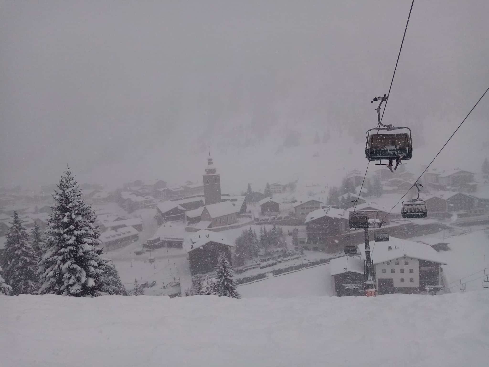
Further south there was also significant snow across the Pyrenees with 25-30cms reported, and it was needed as the major resorts need to build a base ahead of the busy Christmas period. The forecast is for heavy snowfalls starting today across the Alps with resorts in France in line for 95ms over a three-day period while the Arlberg is looking good for 60cms. Totals should be similar in the western parts of Switzerland and Italy, but the outlook isn’t as good for the Dolomites with not much snow in the latest forecast.
WHERE WE WOULD LIKE TO BE THIS WEEK
Plenty of destinations to choose from this week with Europe and the US leading the pack. Plenty of snow on the way for the French Alps, but avalanche danger and visibility could be an issue. We’re leaning towards Squaw Valley, an old MW favourite and with KT22 chair now open there will be some epic powder turns to be had this weekend.