Australian Forecast – Survival Mode Until Snow Arrives Thu-Fri
Published early Monday, 29th June 2026
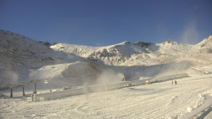
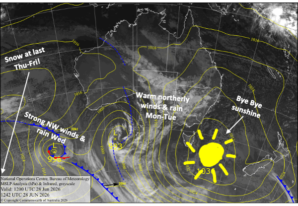
The cloud rolled in yesterday after a long settled spell that allowed the resorts to make a bit of snow during the clear, cold hours of some nights. As a result, some resorts were able to open up a little more terrain at the weekend.
However, conditions will now go downhill over the next few days.
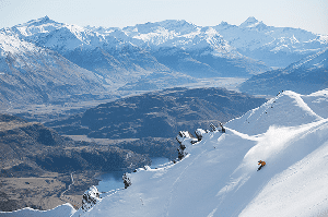
Warm, strong northerlies and rain will hammer the Aussie Alps from Monday through Wednesday as storm systems approach from the west. The limited snow cover we have will become a shadow of its former self, and June will infamously go down in the history books as one of the worst.
Fortunately, the storm turns cold during Thursday and Friday, with snowfall eventually making its way down to base levels overnight Friday. Taking a stab at storm totals in what is still a developing situation, we can expect about 5-15 cm on the lower slopes and 15-35 cm on the upper slopes. But keep an eye on this forecast as these numbers could easily change.
Monday 29th June
Showers start arriving in the morning and will gradually build into more persistent heavier rainfall in the evening as a front moves in from the north. Northerly winds pick up.
Tuesday 30th June
Another wet, rainy day with strong northerly winds as the front starts to move eastwards. Victoria will bear the brunt of the rain, with heavy falls until evening. Rain in New South Wales will most likely be light and intermittent before becoming heavier in the afternoon. It all backs off at night.
Wednesday 1st July
Wet again with occasional rain, while northerly winds become strong again. Heavy rain at night as the next front hits, and the winds will blow a gale.
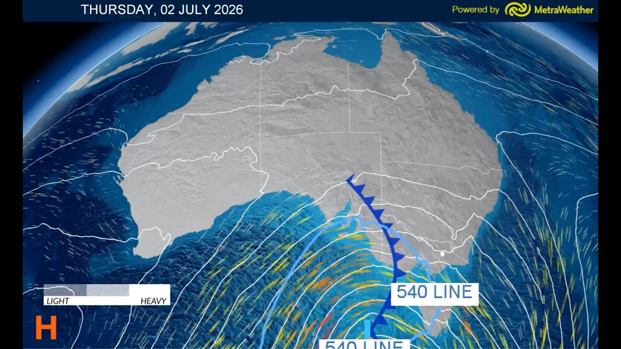
Thursday 2nd July
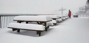
It’ll be an ugly one, but the storm starts to turn cold at last. Snow will begin falling on the upper slopes sometime during the day, most likely in the afternoon, before gradually lowering to base levels overnight. Gale-force northwest winds with blizzard conditions.
Friday 3rd July
Snow showers to base levels gradually peter out as strong northwest winds turn southwest and ease.
Extended Forecast
Any remaining snowfall from the storm will clear up this weekend, Saturday and Sunday, the 4th and 5th of July, but we’ll get a good run of snowmaking into early next week as cold southerlies will take their sweet time to ease, thanks to a lumbering high casually drifting nearby.
We’ll then get a spell of settled weather as the next signs of storm activity don’t look likely till around mid-July.
That’s all from me today, folks. I’m sending out these forecasts every Monday, Wednesday and Friday throughout the season, and during July and August, I’ll fire one out on Sundays too. Have a great couple of days, and I’ll see you back here on Wednesday.
Grasshopper