Australian Forecast – A Cracking Run of Spring Weather for the Last Resorts Standing
Published early Wednesday, 9th September 2026
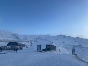
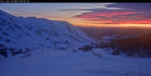
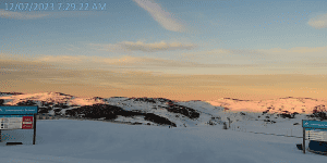
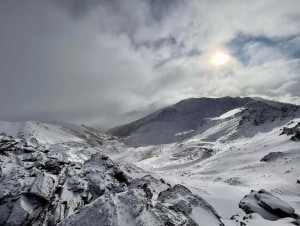
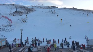
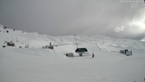
Only Thredbo and Perisher remain open, holding the fort in what has perhaps been the meanest and leanest season on record. There may not be much snow left to play on, but Mother Nature is at least turning on some cracking spring weather for those still keen to get amongst it.
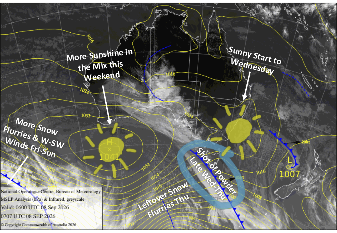
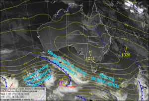
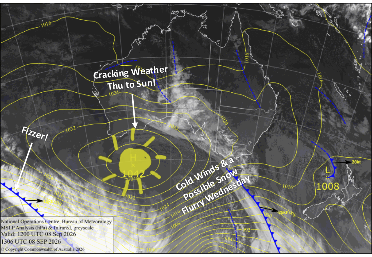
A cold southerly change today, Wednesday, could squeeze out a cheeky flurry if we’re lucky, before skies clear and winds die away on Thursday. From there, high pressure slides past, bringing plenty of sunshine, light winds and increasingly warm temperatures through Sunday.
Wednesday 9th September
Westerlies turn to a brisk, cold southerly during the morning, bringing some clouds and maybe a snow flurry around late morning/midday if we’re lucky. Blue skies increase in the afternoon as the clouds start to disperse.
Thursday 10th September
A nice, sunny day as the southerly breeze gradually dies away.
Friday 11th September
An absolute corker with warm, sunny skies, a little cloud popping up in the afternoon and super light southeast breezes.
Saturday 12th September
Another mint, warm day with little to no wind and a little afternoon cloud again.
Sunday 13th September
Mint again with warm northwest breezes and some high cloud.
Extended Forecast
Unfortunately, the extended outlook won’t be doing our meagre scraps of snow too many favours. Hair-dryer northwesterlies strengthen on Monday the 14th of September ahead of a wet and windy front that rolls through on Tuesday the 15th. Thankfully, it’ll bring a nice cold change in its wake, which should give the slopes a dusting and perhaps even provide a window for snowmaking, if the resorts are still keen.
We’ll get another fine spell through mid-next week as high pressure drifts overhead, before yet another wet and windy system takes a swipe at the mountains over the weekend of the 19th and 20th. There’s a chance we could squeeze a dusting of snow out of this one too, but for the most part it looks wet. If we still have lifts spinning by then, I think we’ll have done pretty well considering the hand we’ve been dealt this season.
That’s all from me today, folks. I’m firing out these forecasts every Monday, Wednesday and Friday for the rest of the season. Have a great couple of days, and I’ll see you back here Friday.
Grasshopper