Gallery – Season-starting storm hits New Zealand Gallery – Season-starting storm hits New Zealand
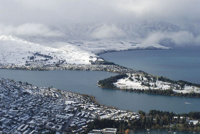
The cold blast brought snow down to lake level in both Queenstown and Wanaka. Image:: Skyline Queenstown
Mountainwatch | Gallery
While the Aussie mountains remain desolate and bare, the action across the Tasman has been the polar opposite (pun intended).
As The Grasshopper mentioned in today’s first daily detailed forecast for 2014, a significant cold outbreak moved in that was associated with a low pressure system that drove cold southerly winds and moisture over the mountains. While the weather is clearing, there’s a little left in it he said: “We’re coming to the end of this wonderfully cold outbreak. As the day goes on the low pressure system that’s been driving in the southerlies will fade away further to the east, and a high pressure system will own the South Island by midnight tonight.”
As details and photos filter in, we’re hearing reports of two metre snow drifts across access roads up to Cardrona and The Remarkables, and 50cm of perfect base-setting snow sitting on the ground across the resorts.
In Australia, we wait; in New Zealand, it’s time to get shred-ready.
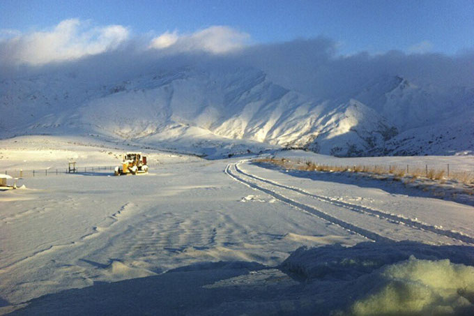
An access road that’s sketchy at the best of times was even more hairy thanks to the 2m snow drifts. The staff only made it to the 12km mark. Image:: Cardrona
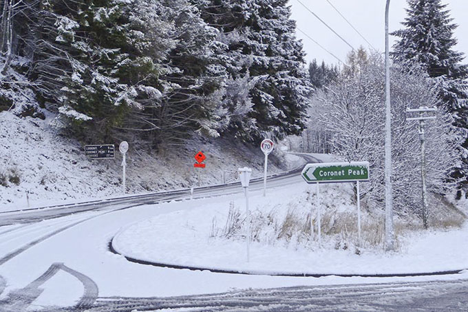
Decent snow for lake level Image:: Coronet Peak
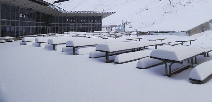
Late May drifts on the front doorstep. Image:: Coronet Peak
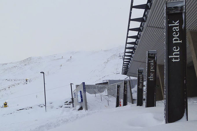
Pow for lunch today Image:: Coronet Peak
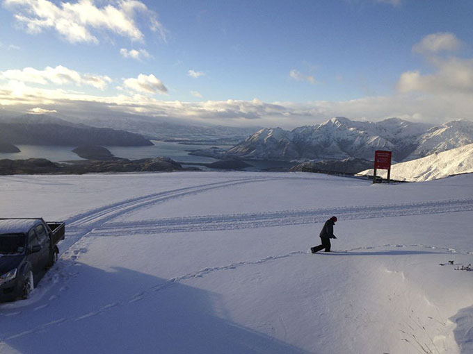
Treble Cone staff braved the road for a pretty decent morning up on the hill. Image:: Treble Cone
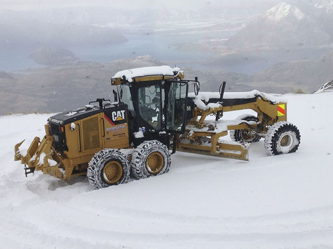
Then they had to employ the heavy machinery to clear the road. Image:: Treble Cone
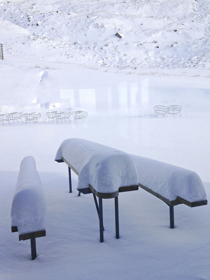
How many centimetres is that? Image:: Treble Cone
The Remarkables forecasts,
snow reports and
live snow cams.
Treble Cone forecasts,
snow reports and
live snow cams.
Cardrona forecasts,
snow reports and
live snow cams.
Coronet Peak forecasts,
snow reports and
live snow cams.
Mount Hutt forecasts,
snow reports and
live snow cams.


