Grasshopper’s Weekly Japan Forecast – Snow Falling Into Saturday, Then Rain On Honshu Late Sunday/Monday
Mountainwatch | The Grasshopper
Thursday 31stJanuary (Japan time)
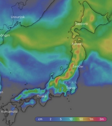
After Japanuary goes out with a bang, the first week of February is looking a little slower. That’s by Japanese standards of course, and most resorts will still receive snowfalls in the 40cm-80cm range over the next ten-days, with a bit more falling on more exposed terrain. We’ll have good snowfalls today into Saturday, but a low from warmer climes will bring heavy rain to Honshu late Sunday into Monday. Thankfully it’ll turn to snow later on Monday with Tuesday looking like a nice powder day as the wind drops off and the sun makes an appearance.
Thursday 31 Jan:
A low in the Sea of Okhotsk spins away to the northeast today, while a low shoots out of the East China Sea and skirts along the Pacific side of Japan. The result… snow falling across the length of the country! Snowfalls over central and southern Honshu are yet to ramp up, but it will do later this morning with some fairly heavy falls as temperatures drop and northerly winds hit. Northwest winds are strong further north on Honshu and Hokkaido with sufficiently low temps.
Friday 1 Feb:
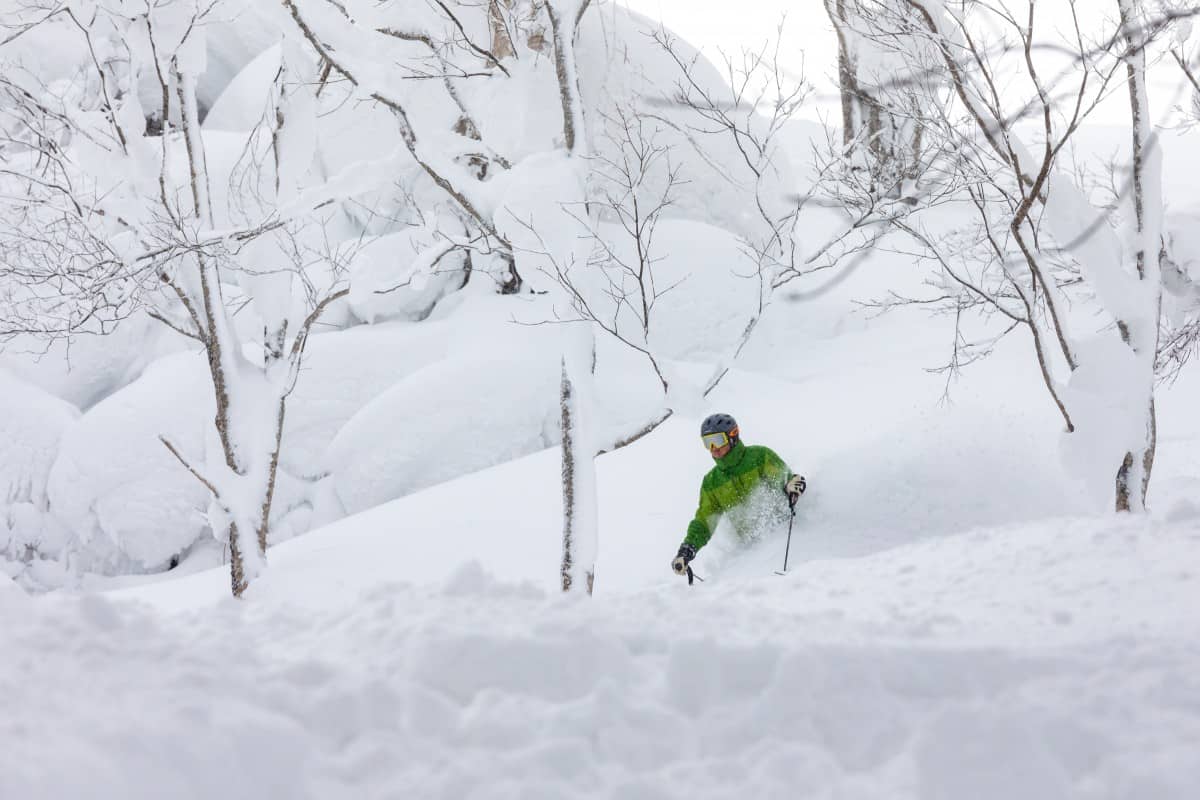
A freezing northwest flow will see that marvelous blower Japow floating down throughout the day. Winds will be strong-gale in exposed places.
Saturday 2 Feb:
Snow flurries/showers first thing, with heavier falls on northern Honshu. A ridge will then build from the south, clearing things up over central and southern Honshu around midday as winds turn to the west and temps start to rise, while snowfalls further north peter out later in the day.
Sunday 3 Feb:
A relatively settled day with only a flurry or two on Hokkaido and northern Honshu. Later in the day however, a low comes hot outta the Yellow Sea and ravages Honshu from late afternoon/evening. Temperatures will skyrocket as S-SW winds pick up and, dare I say it, rain will come down with heavy falls. Yuck!
Monday 4 Feb:
The low should pass over northern Honshu, thankfully sparing Hokkaido from the ridiculously warm temps and allowing snowfalls to start to bucketing down there. Rain with heavy falls on Honshu will gradually ease, then turn to snow after dark as good ol cold NW winds return, which will remain strong-gale.
Tuesday 5 Feb:
The low continues to ship off to the northeast and high pressure builds over Honshu, allowing snowfalls to gradually peter out there with only the odd flitter or flutter lingering on Hokkaido until after dark. Winds will also ease, becoming calm over central and south Honshu where the sun should make an appearance.
Wednesday 6 Feb:
The high wanders off to the east while a low pops up out of the East China Sea and tracks along the Pacific side of Japan. There’ll be snowfalls on Hokkaido, and possibly northern Honshu too, where temps should remain sufficiently low. Although we’ll remain on the cold side of the low, temps may still raise a little elsewhere on Honshu where snowfalls are likely to get going later in the day, but it may be a little wet/slushy at low elevations.
Extended Outlook:
Models digress at this point, but it’s likely the low will deepen as it moves away to the northeast, allowing freezing N-NW winds to sweep over Japan next Thursday, accompanied by a good dump of Japanese powder, which will ease on Friday. We could then see another low approach from warmer climes to the west, but lets wait until next week before fretting about this one.


