The Grasshopper’s North American Forecast – A Good ol’ fashioned Snowdown in The American Northwest
Mountainwatch | The Grasshopper
Wednesday 20thFebruary (Pacific time)
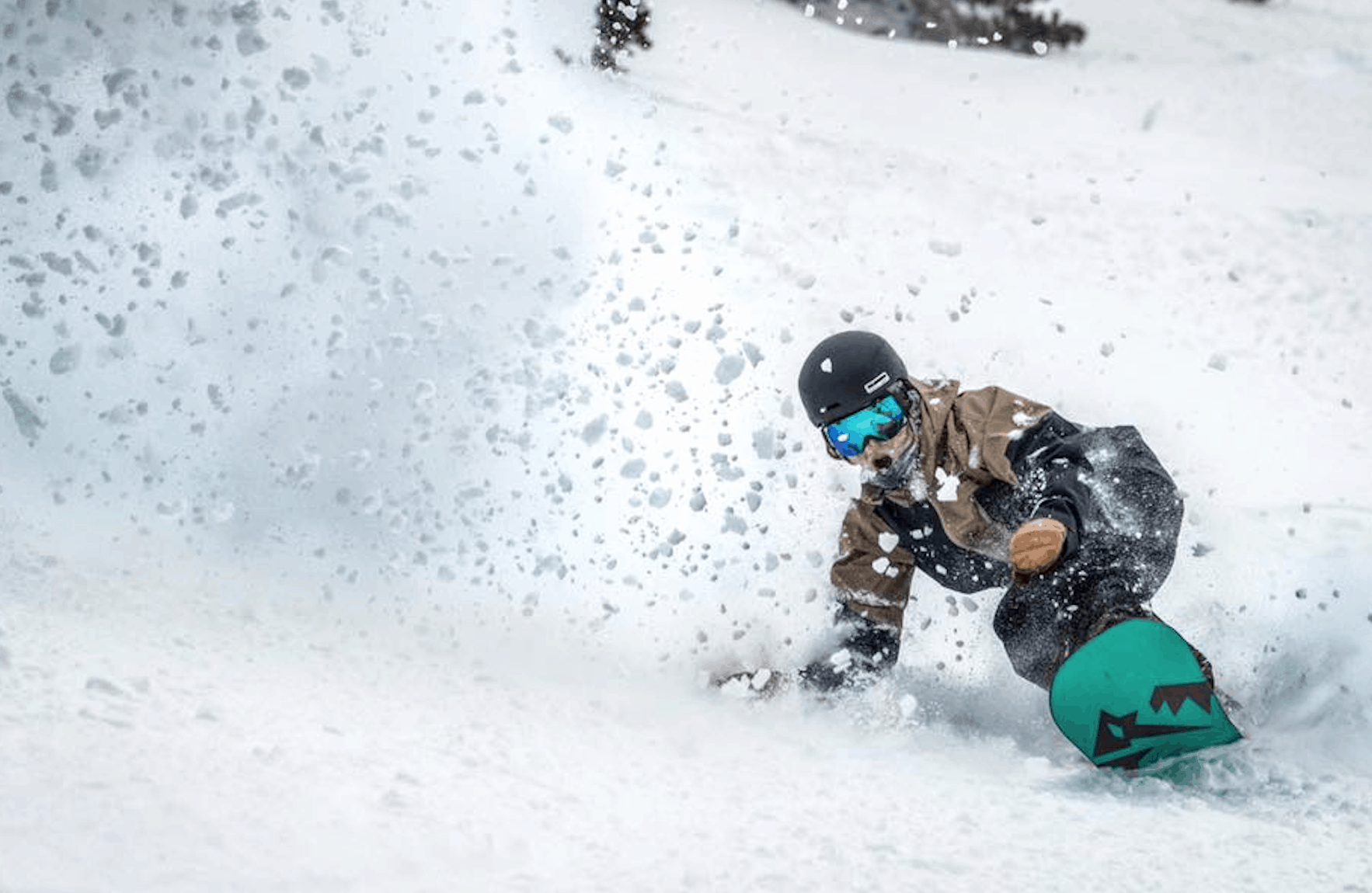
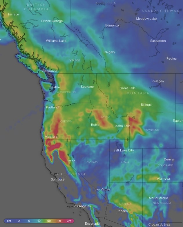
There’s going to be a good ol’ fashioned snowdown in the American northwest over the next week or so, thanks to a front parking itself over the area. Ten-day snow accumulations will mostly be getting up around the 1-1.5m mark in the Cascades, northern Sierras, Idaho and Wyoming, with possibly more on the most exposed terrain, and half as much lower down and in Montana. The talk of the town won’t just be about the sheer volume, as consistent snowfalls will keep recounts of powder runs going from this weekend through the next. Further south, there’ll be good snowfalls over the southern Rockies during the next couple of days, with heavy falls for Arizona, as well as a dusting for Canadian resorts this Friday and Saturday, all topped off with clear skies and sunshine.
Thursday 21 Feb:
A low over Arizona will bring heavy snowfalls to resorts there, as well as light to moderate falls to Utah, Colorado and Wyoming. The low will be drawing in cold air down through much of the American west, with the odd flurry also falling on the Sierras, as well as Idaho and Montana during the morning. Canada and the Cascades will just see a mix of sunshine and cloud.
Friday 22 Feb:
The low migrates over New Mexico, with moderate to heavy snowfalls developing early as they depart Arizona. Colorado will also receive light to moderate falls, while anything remaining over the American Rockies father north will clear early. Meanwhile, another low shuffles down western Canada spreading cold air and moderate to heavy snowfalls down through the Coast Mountains and the Cascades, with lighter falls reaching the Rockies of Canada and northern Idaho.
Saturday 23 Feb:
The low down south trucks off to the east while any remaining snowfalls over Colorado and New Mexico clear before dawn or shortly after. Low pressure farther north brings mostly scattered light falls northwards from the Cascades and Colorado. There’ll likely be heavier falls in the Cascades for a time, which will possibly spread to the northern Sierras late.
Sunday 24 Feb:
Scattered snowfalls through the American northwest, including Idaho, Montana and Wyoming. There may be pockets of moderate to heavy falls in the Cascades or northern Sierras. High-pressure further south should see plenty of sunshine of southern states.
Monday 25 Feb:
A repeat of Sunday with scattered snowfalls across the American northwest as a front lays draped over the area. Again, there is likely to be moderate to heavy falls in the Cascades or northern Sierras, which depends on exactly where the front decides to hangout.
Tuesday 26 Feb
Similar to the previous couple of days except a low associated with the front moves off the Pacific and onto the American northwest. Snowfalls across the area should pick up with moderate to heavy falls across the Cascades, Sierras, Idaho, Montana and Wyoming. It’ll be mostly clears skies and high pressure elsewhere.
Wednesday 27 Feb:
Light to moderate snowfalls throughout the American northwest again, with isolated heavier falls possible in the northern Sierras and Cascades. Mostly sunny elsewhere.
Extended Outlook:
Snowfalls throughout the American northwest should ease and become less widespread next Thursday and Friday as the front lounging over the area starts to fall apart. Cold air may also move down over the Canadian Rockies next Friday with a dusting of super fluffy high-quality snow there. Next weekend may see a low move north into the Gulf of Alaska, pushing in more snow onto the American northwest as well as the Coast Mountains and Rockies of Canada.


