The Grasshopper’s Weekly North American Forecast – Sierras About to Pop and Southern Rockies Burgeoning, While Canada Goes Hungry
Mountainwatch | The Grasshopper
Wednesday 13thFebruary (Pacific time)
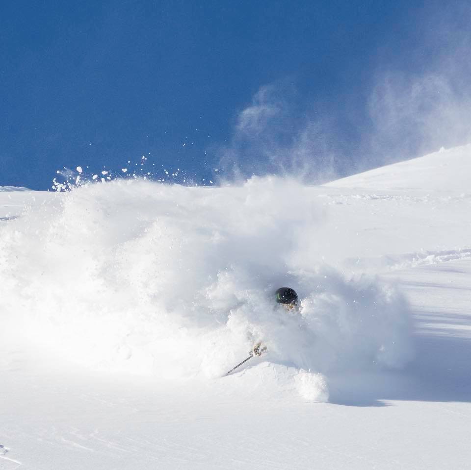
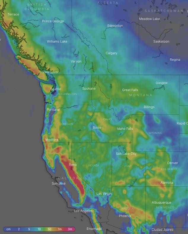
In a similar story to last week, the Sierras will continue to pig-out on massive snowfalls with ten-day accumulations maxing out around the 1.5-2m mark, most of which will fall over the next few days during the current storm. In light of this, Mammoth has announced they will stay open until July the 4th! The southern states of America will also get their fair share with accumulations reaching a half to a whole metre. Canada will be left hungry again with 15-25cm expected there, but up to 50cm in the Coast Mountains. However, this will mostly fall uniformly Thursday through Saturday, rather than one big dump, and should provide great conditions for a weekend shred.
Thursday 14 Feb:
The low system parked just off the coast of Oregon and Washington State continues to funnel a very strong SW flow over the Sierras. Temps will start out too warm, however, with heavy rain falling at lower elevations, but cold air wrapping around the low will gradually lower snow down to base levels with heavy accumulations piling up. It’ll be a similar story for the Cascades where less but still decent accumulations are expected. As the storms influence expands, snowfalls will spread north to the Coast Mountains and inland to the Rockies where there should also be some heavy falls.
Friday 15 Feb:
The storm continues as colder air piles in. Heavy falls will continue over central and southern parts of the Sierras with snow shower in the north. Snow showers or decent periods of snow will also come down over remaining areas.
Saturday 16 Feb:
The low system will weaken as it drifts inland, causing snowfalls to peter out over the southern half of the Rockies and the Coast mountains, while they mostly ease elsewhere.
Sunday 17 Feb:
Scattered snow showers for most areas, some of which may be heavy, except for the Coast Mountains and northern Cascades where it will remain clear. It’ll eventually clear up over the southern Cascades and Sierras, while snowfalls ramp up over Utah, Colorado, Arizona and New Mexico later in the day.
Monday 18 Feb:
Snow flurries over Idaho, Montana and Wyoming will eventually clear, while more vigorous snow showers farther south along the Rockies abate. Canada and the Sierras should be mostly clear.
Tuesday 19 Feb
A trough coming off the Pacific will kick off snowfalls over the Coast Mountains early in the day, and then spread through the Cascades shortly after, followed by lighter falls over Idaho and the Canadian Rockies later. Any remaining flurries over Utah, Arizona and New Mexico will clear, but they will linger over Colorado till late.
Wednesday 20 Feb:
The trough may spin up into a low and take a southerly excursion, spread light-moderate snowfalls farther south to the Sierras and southern portion of the American Rockies later in the day. In this scenario it will eventually clear up over the Coast Mountains and Cascades, while easing over the northern half of the Rockies.
Extended Outlook:
If the southerly track of the low is to be followed, snowfalls over the Sierras and southern half of the Rockies should gradually clear next Thursday or Friday to be replaced by high pressure. Meanwhile a low should approach from the Pacific or Gulf of Alaska with Canadian resorts and the Cascades inline for a good dumping, followed by Idaho and Montana later next weekend.


