Australian Forecast – Fresh Powder Gives Way to Blue-Dome Pearlers
Published early Wednesday, 29th July 2026
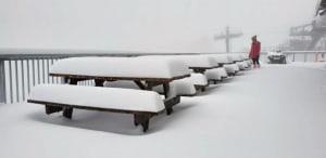
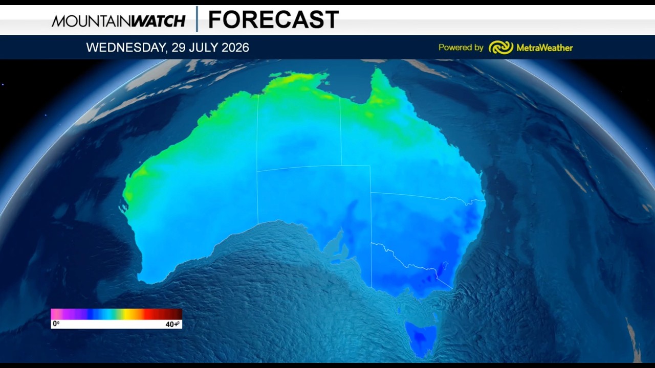
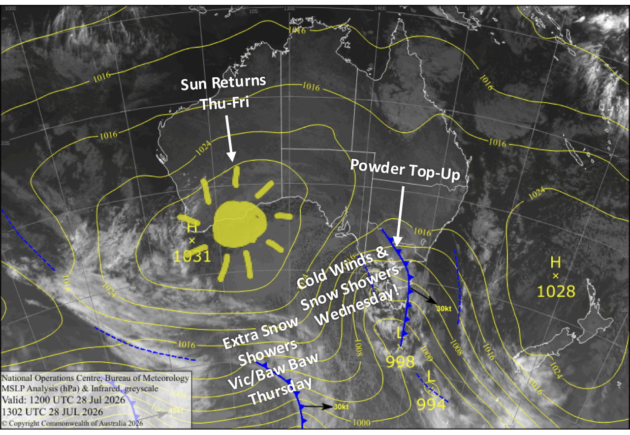
It was a grey, blustery day yesterday, Tuesday, as a storm rolled in. There was a little snow in Victoria, but it didn’t really get started until the evening hours. The cold front is now halfway over the Alps as I write in these early hours of Wednesday, and by dawn we should have received a top-up of between 5-15cm, although morning reports will have the real numbers.
Snow and strong cold wind continue through Wednesday, giving the resorts another 3-8cm. It’ll be a great day to score some freshies if you can brave the conditions. Mt Baw Baw could score another few centimetres on Thursday before high pressure pushes in to settle things down for a fine and fantastic end to the week, with additional snow making groomed to perfect corduroy.
Wednesday 29th July
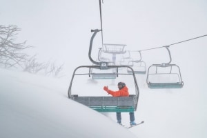
A day for you keen powder chasers with snow showers continuing until late in the day, giving resorts an additional 3-8cm of quality powder to low levels. Strong, cold winds from the westerly quarter with blizzard conditions gradually back off.
Thursday 30th July
Cloud clears New South Wales early morning for a sun- and powder-filled day as cold southwesterlies continue to ease. The snow guns should also get a good run too.
Victoria will be more exposed, so cloud will persist, especially on Mt Baw Baw where snow showers continue until late in the day, bringing another few centimetres or so. Snow flurries may also show up at the other Victorian resorts if we’re lucky.
Friday 31st July
A gorgeous, sunny winter’s day as a chilly southerly breeze dies out. Though Mt Baw Baw will see some cloud at times. The snow guns should fire early morning and at night again.
Saturday 1st August
A blue-dome pearler with a developing northerly breeze. Snow-making temps again early morning and at night.
Sunday 2nd August
Fine and cloudy spells with a stiff and cold northwester. There’s a chance of a light snow flurry or two, particularly in Victoria.
Extended Forecast
The next storm system is expected to roll past us between Monday the 3rd and Wednesday the 5th of August, bringing another cold spell. This should give our slopes another dusting or top-up, with additional snow making thrown in.
The following storm could show up as early as Friday the 7th onwards. There’s potential, but models are at sixes and sevens by this point, so we’ll have to wait closer to the time to get a better idea of what to expect.
That’s all from me today, folks. I’m firing out these forecasts every Monday, Wednesday and Friday throughout the season, and an extra update on Sundays during peak season. Have a great couple of days, and I’ll see you back here on Friday.
Grasshopper