Australian Forecast – Fresh Refills Before a Sunny End to the Working Week, with More Snow Beyond
Published early Monday, 3rd August 2026
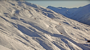
We’ve had a good run of clear, crisp winter conditions after a storm mid-last week gave resorts a timely boost. The cold temperatures that followed have. maintained a quality snowpack and allowed the snow guns to further bolster the groomers.
Although skies stayed sunny yesterday (Sunday), winds really got going with gusts reaching 100+ km/h at Thredbo Top Station in the evening, and they’ll create more lift issues early Monday, before backing off a touch.
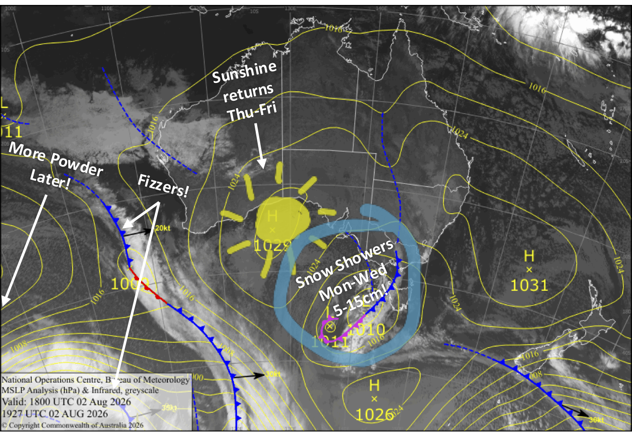
A storm system slowly creeping underneath us brings light snow showers and fresh dustings from Monday into late Wednesday, totalling around 5-15cm, while cold temperatures allow the snow guns to continue working their magic.
High pressure then pushes in for another couple of sunny days to end the working week, before attention turns to the weekend, when a stronger storm system looks set to deliver a decent dump of fresh powder.
Monday 3rd August
Fine and cloudy spells with a few light snow showers or flurries as a weak cold front slowly crosses. Chilly northwesterlies will still be howling first thing, possibly affecting lift ops, but they’ll gradually back off throughout the day. The snow showers build overnight as colder air arrives.
Tuesday 4th August
Light snow showers and flurries continue, keeping the slopes nice and dusty. Cold west-to-northwest winds will also have the snow guns firing.
Wednesday 5th August
Light snow showers and flurries peter out in the evening as cold westerlies gradually ease.
Thursday 6th August
Clouds gradually break up and clear for a fine afternoon as high pressure pushes in, with little to no wind. Cold snowmaking temps early morning and at night for perfect corduroy on piste.
Friday 7th August
A gorgeous, bluebird day with developing northerly breezes. Cold snowmaking temps again early morning and at night.
Extended Forecast
The forecast is lining up for a decent snowfall from Saturday night into Monday as an active cold front crosses. Later next week, more storm systems are expected to cross mid-week with more powder shots and refills, before high pressure returns late in the week for a run of settled weather. It’s a promising outlook, so fingers crossed it holds.
That’s all from me today, folks. I’m firing out these forecasts every Monday, Wednesday and Friday throughout the season, and an extra update on Sundays during peak season. Have a great couple of days, and I’ll see you back here on Wednesday.
Grasshopper