Australian Forecast – A Few More Blue Birds Before the Next Top-Up
Published early Wednesday, 8th July 2026
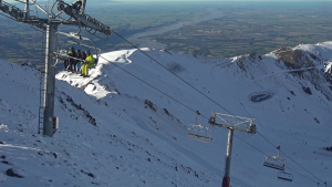
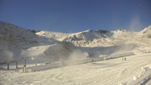
We’ve had a couple of stunners up in the Aussie Alps after last week’s storm gave us our first proper dump of the season, with resorts reporting between 20 and 45cm of fresh powder while making snow like rabid dingoes. The place has been transformed with more shreddable terrain out there for the school holidays, but it had been very crowded on the limited open runs.
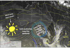
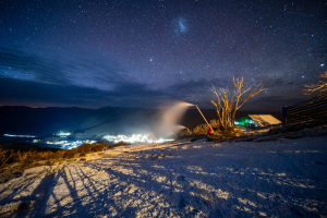
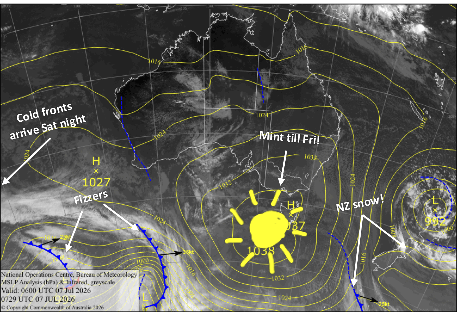
We continue the run of nice weather until the weekend as high pressure drifts past, with clear, cold nights that should have the snow guns firing on all cylinders (although an inversion in Victoria is currently holding them back).
The weather turns more active this weekend, with a series of cold fronts moving in starting Saturday night. We’ll cop some rain with the initial front, but a cold westerly flow afterwards will bring snow showers from Sunday through Tuesday, with a decent top-up on the cards.
.
Wednesday 8th July
Another blue, sunny day with light winds. Cold, snowmaking temps overnight, especially in New South Wales.
Thursday 9th July
Fine and calm with high cloud. The snow guns should get another run early morning and overnight.
Friday 10th July
Fine with a little high cloud again, while a light northwest breeze develops. Cold temps again early morning and overnight for another run on the snow guns.
Saturday 11th July
A fine start, but cloud and northerly winds will gradually build during the day before a front from the west arrives in the evening, bringing rain and high-level snow.
Sunday 12th July
A cold change will bring a shot of snow before breaky, followed by lighter snow showers through the rest of the day, alongside strong, chilly westerly winds. By the end of the day, we should be looking at between 5 and 25 cm of new snow spread across the resorts, from low to high altitudes.
Extended Forecast
Chilly west-to-northwest winds will keep sending in snow showers through Monday and Tuesday, although it’ll likely turn wet and sleety on the lower slopes at times. All up, we could score an extra 5-15 cm.
After a settled spell, the next storm window opens up from Sunday, the 19th of July onwards. Models look fairly juicy with the potential for good snowfall, but it’s still early days, and models like to make it snow this far out, so keep an eye on the next few forecasts to see how this one unfolds.
That’s all from me today, folks. I’m sending out these forecasts every Monday, Wednesday and Friday throughout the season, and I’ll fire out an extra update on Sundays during peak season. Have a great couple of days, and I’ll see you back here on Friday.
Grasshopper