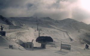
three-day totals in the Southern Alps should range from 5-25cm with The Remarkab...
June 28, 2021
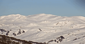
high-pressure system is sitting right above the Aussie Alps bringing mild condit...
June 28, 2021
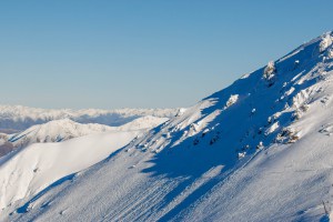
Snow is still on the cards for Sunday night and Monday with a little bit to carr...
June 25, 2021
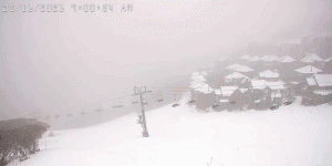
we can look forward to a colder weekend with snowfall predicted the next three d...
June 25, 2021

The outlook is still for an average to below average winter there is still plent...
June 23, 2021
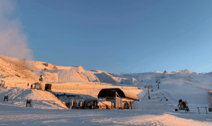
in the next seven days total accumulations should be around 20-60cm...
June 23, 2021
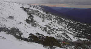
June 23, 2021
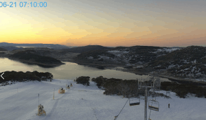
sunny Monday and Tuesday before a cut-off low that’s forming around the Bight ...
June 21, 2021
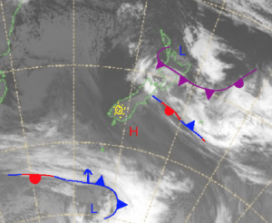
Looking ahead, at the end of this week there looks to finally be something headi...
June 21, 2021
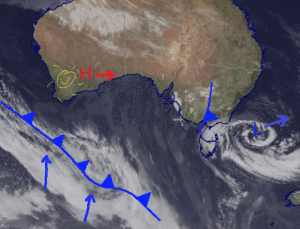
a mostly sunny Sunday for Victoria and a small chance of isolated flurries in NS...
June 18, 2021
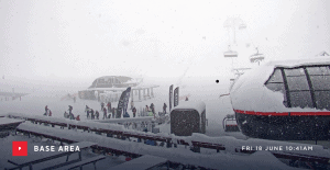
more significant totals next week which look to be finally hitting the Southern...
June 18, 2021
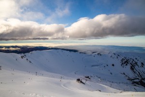
we will see a cold front spin up in its wake, bringing snow from the south....
June 16, 2021
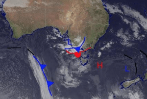
This will bring colder weather and a possible 5-15cm of snow before another deca...
June 16, 2021
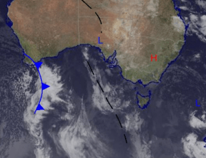
June 14, 2021
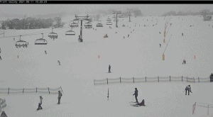
the best snowfalls from this system have passed as it continues to dissipate, bu...
June 11, 2021
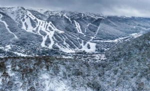
The question is just how much will fall, but maximum totals look to be over half...
June 9, 2021
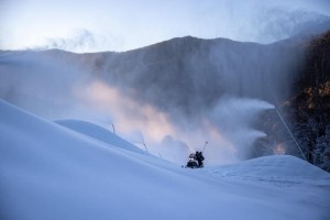
ENSO is still expected to remain neutral for the entirety of the winter season w...
June 2, 2021
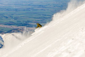
A common theme of this outlook are the words neutral and average,...
May 11, 2021
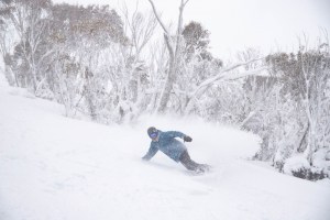
given neutral climate drivers, erratic seasonal models and global warming trends...
April 30, 2021
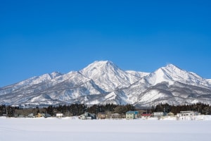
this week an intense low will bring a short and sharp downpour of both rain and ...
February 25, 2021